
Geomorphology, Sediment, and Habitat
Rivers shape the landscape as they deliver water and sediment from the mountains down to the floodplains and deltas. However, it is possible for the erosion and deposition of sediment by rivers to increase the risk of flooding and impact the health of river ecosystems. USGS geomorphology can provide decision makers with a better understanding of these hazards by evaluating historical trends, current conditions, and potential future impacts from changes in climate and land uses. Hydrologists and geomorphologists of the USGS Washington Water Science Center monitor and study river hydraulics; sediment sources and transport in rivers from the mountains to the ocean; the role of large wood, levees and other features in influencing river channel shape stability; and the relation between all these factors and river habitat and ecology as well as river flooding.
Watersheds and Fluvial Systems Team
Green River Sediment Monitoring

Hydrodynamics and sedimentation in bull trout spawning habitats affected by reservoir management in the Cedar River Municipal Watershed, WA

Mapping ecohydrological headwater refugia

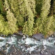
Hoh geomorphology

Nooksack geomorphology

Bolt Creek Wildfire Sediment Runoff and Water Quality
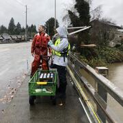
Stormwater Action Monitoring (SAM)

Baseline assessment of PAH concentrations in fish from the Stillaguamish River, Washington

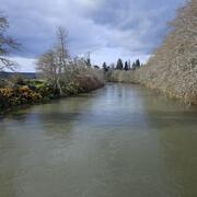
Channel Change and Sediment Transport in the Puyallup River Watershed
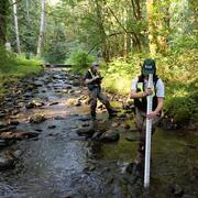
Chehalis Watershed Suspended Sediment Monitoring
