
Sunset from the coastal Gulf of Alaska.
Images
Images
Filter Total Items: 9448

Sunset on the Gulf of Alaska
Sunset from the coastal Gulf of Alaska.
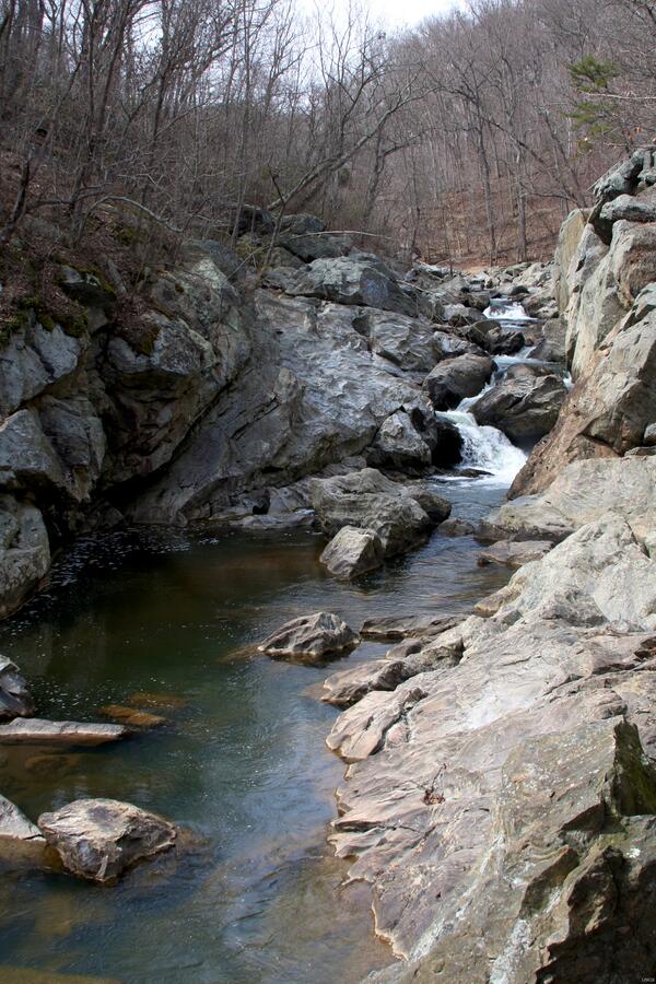
Stream at Great Falls, VA.
Stream at Great Falls, VA.
Stream at Great Falls, VA.

Deadhorse Geomagnetic Observatory
Lighting above absolutes pier at Deadhorse geomagnetic observatory.
Lighting above absolutes pier at Deadhorse geomagnetic observatory.

Sinkholes in West-central Florida, Freeze Event of 2010
Sinkholes in West-central Florida, Freeze Event of 2010More than 110 sinkholes formed in the Dover area of Florida during a freeze event in January 2010. Ground water levels dropped to record-setting lows as farmers pumped water to irrigate their plants for protection from the cold temperatures. The sinkholes destroyed homes, roads and sections of cultivated areas.

Sinkholes in West-central Florida, Freeze Event of 2010
Sinkholes in West-central Florida, Freeze Event of 2010A sinkhole formed in a roadway caused traffic to detour around it while it is filled in, stabilized and repaved.
Sinkholes in West-central Florida, Freeze Event of 2010
Sinkholes in West-central Florida, Freeze Event of 2010A sinkhole formed in a roadway caused traffic to detour around it while it is filled in, stabilized and repaved.

Sinkhole Activity Damages Home.
Cracking along exterior walls is a sign of subsidence activity. Such severe structural damage from sinkholes can destroy homes and other structures.
Cracking along exterior walls is a sign of subsidence activity. Such severe structural damage from sinkholes can destroy homes and other structures.

Elwha River Restoration
A large cooperative project is taking place with Olympic National Park in the Elwha River in anticipation of removal of two dams. Restoration of the entire river to natural free flows will allow returning salmon access to historic spawning grounds.
A large cooperative project is taking place with Olympic National Park in the Elwha River in anticipation of removal of two dams. Restoration of the entire river to natural free flows will allow returning salmon access to historic spawning grounds.

Corals and mangroves share clear waters
Sediment can smother corals, but Hurricane Hole has no sediment-bearing freshwater streams. Its clear waters are habitat for an entire community of marine life, including Montastrea corals and squirrelfish. Photo: Caroline Rogers, USGS, 2009
Sediment can smother corals, but Hurricane Hole has no sediment-bearing freshwater streams. Its clear waters are habitat for an entire community of marine life, including Montastrea corals and squirrelfish. Photo: Caroline Rogers, USGS, 2009

The former Pigeon Mine in northern Arizona
The former Pigeon Mine in northern Arizona is seen here looking towards the northeast.
Uranium levels in Pigeon Spring, just north of the Grand Canyon, are likely due to a natural source of uranium and not related to the nearby former Pigeon Mine, according to a recent study by the USGS.
The former Pigeon Mine in northern Arizona is seen here looking towards the northeast.
Uranium levels in Pigeon Spring, just north of the Grand Canyon, are likely due to a natural source of uranium and not related to the nearby former Pigeon Mine, according to a recent study by the USGS.

Pigeon Canyon in northern Arizona
Here, Pigeon Spring emerges in Pigeon Canyon just before it merges with Snake Gulch in northern Arizona.
Uranium levels in Pigeon Spring, just north of the Grand Canyon, are likely due to a natural source of uranium and not related to the nearby former Pigeon Mine, according to a recent study by the USGS.

Choctawhatchee River in Flood
Choctawhatchee River and gage in late December flood looking downstream.
Choctawhatchee River and gage in late December flood looking downstream.

Wright's Creek in Flood
Wright's Creek gage and flood.
Wright's Creek gage and flood.

Aerial of Active Kilauea Area
An aerial view looking north at two active areas of Kīlauea. Pu`u `Ō `ō crater is in the foreground, Mauna Loa (left) and Mauna Kea (right) are in the background. The fume source near the base of Mauna Loa (at Kīlauea's summit) is from the Halema`uma`u Overlook vent.
An aerial view looking north at two active areas of Kīlauea. Pu`u `Ō `ō crater is in the foreground, Mauna Loa (left) and Mauna Kea (right) are in the background. The fume source near the base of Mauna Loa (at Kīlauea's summit) is from the Halema`uma`u Overlook vent.
Mobile Tracking in The Dalles on the Columbia River
Mobile Tracking in The Dalles on the Columbia RiverTracking/monitoring movement of juvenile salmonids implanted with radio transmitters as they migrate down the Columbia River to the ocean.
Mobile Tracking in The Dalles on the Columbia River
Mobile Tracking in The Dalles on the Columbia RiverTracking/monitoring movement of juvenile salmonids implanted with radio transmitters as they migrate down the Columbia River to the ocean.

Explosive Kilauea Boulder
This large rock at the Kīlauea Overlook in Hawai‘i Volcanoes National Park was ejected ballistically in 1790, or soon thereafter, from Kilauea Volcano's summit caldera when it was more than 600 meters (2000 feet) deep.
This large rock at the Kīlauea Overlook in Hawai‘i Volcanoes National Park was ejected ballistically in 1790, or soon thereafter, from Kilauea Volcano's summit caldera when it was more than 600 meters (2000 feet) deep.

The Dalles Dam Smolt Release
USGS employees release radio-tagged salmon smolts into the Columbia River below the sluiceway outfall at The Dalles Dam.
USGS employees release radio-tagged salmon smolts into the Columbia River below the sluiceway outfall at The Dalles Dam.

Red Mangrove trees
The seedlings of Red Mangrove trees germinate from fruits while still attached to the trees. Here many are growing within the roots of adult trees.
The seedlings of Red Mangrove trees germinate from fruits while still attached to the trees. Here many are growing within the roots of adult trees.

Red Hill Bay Marina
Red Hill Bay Marina exposed playa near the Salton Sea, California.
Red Hill Bay Marina exposed playa near the Salton Sea, California.

Red Hill Bay
Red Hill Bay Marina, Salton Sea, California.
Red Hill Bay Marina, Salton Sea, California.

Geothermal Plant
A geothermal power plant at The Geysers near Santa Rosa, California. The USGS researches and assesses geothermal resources.
A geothermal power plant at The Geysers near Santa Rosa, California. The USGS researches and assesses geothermal resources.

Copper
Native copper. The USGS studies processes that form copper deposits and reports global production and consumption.
Native copper. The USGS studies processes that form copper deposits and reports global production and consumption.