Hawaiian Volcano Observatory
Find U.S. Volcano
Learn More
Learn More
Settings
Map Legend
Map Legend
Current Updates and Notifications
Kīlauea
HVO monitors earthquakes and the active volcanoes in Hawaii, assesses their hazards, issues warnings, and advances scientific understanding to reduce the impacts of volcanic eruptions. Communicating the results of our work to the public, emergency managers, and the scientific community is an important aspect of the HVO mission.
Active Volcanoes in Hawaii
Very High Threat Potential
Kīlauea
Mauna Loa
High Threat Potential
Hualālai
Moderate Threat Potential
Haleakalā
Mauna Kea
Not Ranked
Kama‘ehuakanaloa (Lō‘ihi Seamount)
View the threat rankings of US Volcanoes
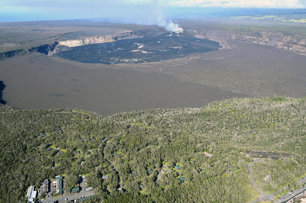
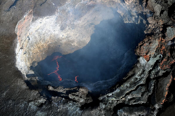
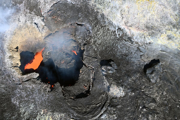
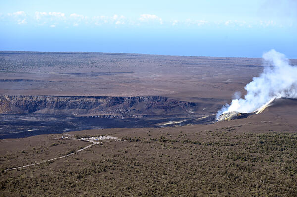
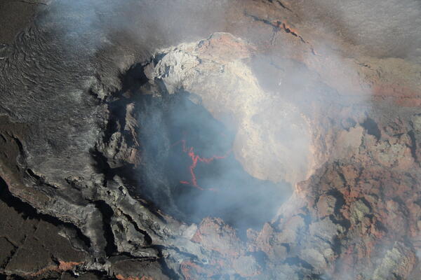
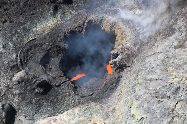
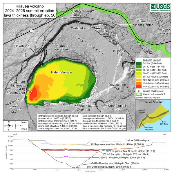
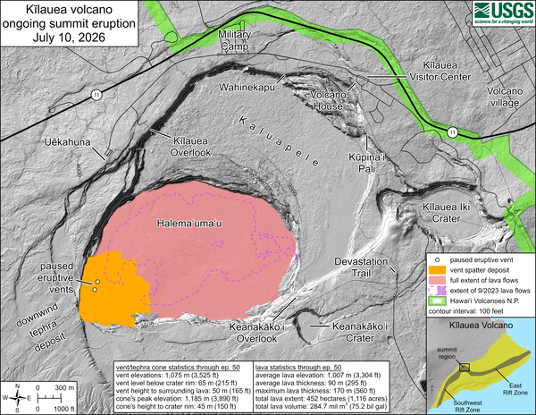
Episodic eruption at Kīlauea summit

This eruption is within Hawaiʻi Volcanoes National Park. Lava flows are contained to the caldera, but fallout from the lava fountains can affect communities downwind.
Is tephra falling? We want to know.
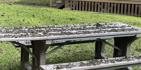
If you live in an area downwind of Kīlauea summit and are experiencing tephra fall, support science and community awareness by making a tephra fall report.
Where has tephra fallout been reported?
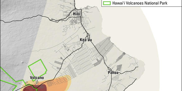
Tephra is material erupted from a volcano that travels through the air. Volcanic ash, Pele's hair, and other tephra have fallen on communities downwind during lava fountaining episodes at the summit of Kīlauea.