U.S. flag

An official website of the United States government

Virginia and West Virginia Water Science Center

Welcome to the Virginia and West Virginia Water Science Center. We deliver timely and reliable data, advanced interpretive science, and tools needed to understand the water resources of Virginia and West Virginia in support of effective decision making.

Need assistance? Contact us through our Connect page. 

News

USGS experts responding simultaneously to two major natural hazards

USGS experts responding simultaneously to two major natural hazards

USGS Researchers Invite Community Members to Help Kick Off a New Study of Local Streams and Conservation Practices in the Shenandoah Valley

USGS Researchers Invite Community Members to Help Kick Off a New Study of Local Streams and Conservation Practices in the Shenandoah Valley

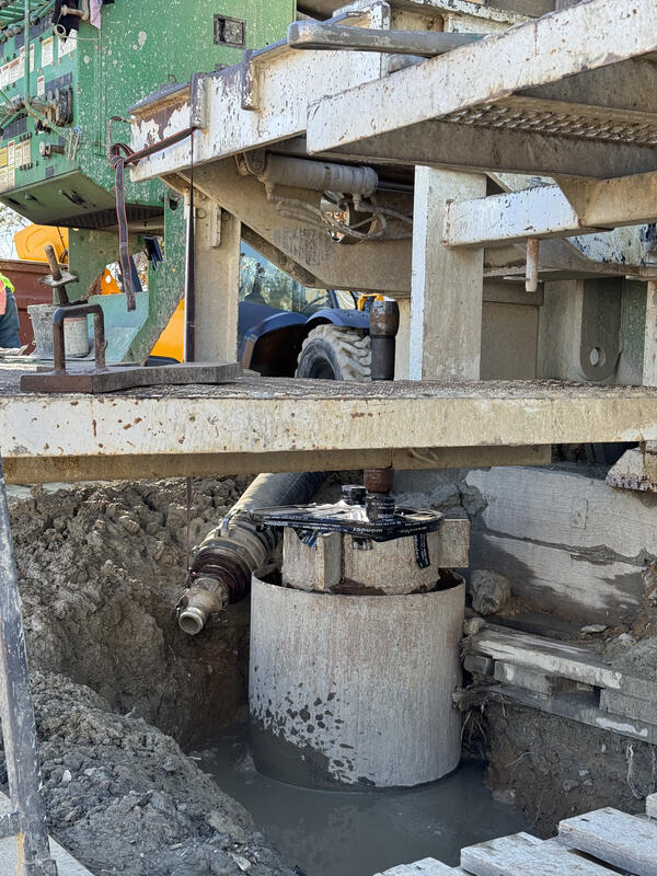
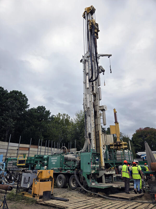
U.S. Geological Survey is working to install its fourth local extensometer – the only ones on the East Coast

U.S. Geological Survey is working to install its fourth local extensometer – the only ones on the East Coast

Publications

Increasing phosphorus loss despite widespread concentration decline in US rivers

The loss of phosphorous (P) from the land to aquatic systems has polluted waters and threatened food production worldwide. Systematic trend analysis of P, a nonrenewable resource, has been challenging, primarily due to sparse and inconsistent historical data. Here, we leveraged intensive hydrometeorological data and the recent renaissance of deep learning approaches to fill data gaps and reconstru
Authors
Wei Zhi, Hubert Baniecki, Jiangtao Liu, Elizabeth W. Boyer, Chaopeng Shen, Gary W. Shenk, Xiaofeng Liu, Li Li

Factors contributing to pesticide contamination in riverine systems: The role of wastewater and landscape sources

Wastewater treatment plant (WWTP) discharges can be a source of organic contaminants, including pesticides, to rivers. An integrated model was developed for the Potomac River watershed (PRW) to determine the amount of accumulated wastewater percentage of streamflow (ACCWW) and calculate predicted environmental concentrations (PECs) for 14 pesticides in non-tidal National Hydrography Dataset Plus V
Authors
Samuel Adam Miller, Kaycee E. Faunce, Larry B. Barber, Jacob Fleck, Daniel Walter Burns, Jeramy Roland Jasmann, Michelle Hladik

Characterization of the water resources of the Pamunkey River watershed in Virginia—A review of water science, management, and traditional ecological knowledge

In central Virginia, the Pamunkey Indian Tribe and Reservation are facing increasingly complex water resource issues related to quantity and quality. Documentation of surface-water, groundwater, water quality, land subsidence, sea-level rise, and river ecology issues in the Pamunkey River watershed and incorporation of traditional ecological knowledge into these research topics may improve underst
Authors
Brendan M. Foster, Ronaldo Lopez, Edward R. Crawford, Warren Cook, Joyce Krigsvold, John Henry Langston, Terry Langston, Grover Miles, Kirk Moore, Greg C. Garman, Karen C. Rice, John D. Jastram

Science

New study highlights the role of wastewater and landscape sources contributing to pesticide contamination in the Potomac River watershed

Wastewater treatment plant discharges can be a source of organic contaminants, including pesticides, to rivers. Pesticide concentrations were predicted based on wastewater percentages in stream water using a modeling tool, and verified with measured concentrations to identify other potential landscape sources.
link

New study highlights the role of wastewater and landscape sources contributing to pesticide contamination in the Potomac River watershed

Wastewater treatment plant discharges can be a source of organic contaminants, including pesticides, to rivers. Pesticide concentrations were predicted based on wastewater percentages in stream water using a modeling tool, and verified with measured concentrations to identify other potential landscape sources.
Learn More

Effects of Abandoned Coal Mine Drainage in the New River Gorge

Many abandoned historic mines surround the New River Gorge. Untreated water draining from these mines has the potential to alter the temperature and water quality of nearby creeks and rivers. Remediation and restoration has been proposed for many of these abandoned mines. However, the cold water seeping out of these mines may also create wetland areas along the flat mine benches which were cut...
link

Effects of Abandoned Coal Mine Drainage in the New River Gorge

Many abandoned historic mines surround the New River Gorge. Untreated water draining from these mines has the potential to alter the temperature and water quality of nearby creeks and rivers. Remediation and restoration has been proposed for many of these abandoned mines. However, the cold water seeping out of these mines may also create wetland areas along the flat mine benches which were cut...
Learn More

New insights for reducing nutrient and sediment loads in agricultural watersheds prioritized for management activities

Agricultural activities and natural factors may offset nutrient and sediment reductions from management activities.
link

New insights for reducing nutrient and sediment loads in agricultural watersheds prioritized for management activities

Agricultural activities and natural factors may offset nutrient and sediment reductions from management activities.
Learn More

Multimedia

Accotink creek in autumn.
Accotink Creek
Accotink Creek
A USGS hydrologic technician stands in a creek with heavily eroded banks.
Measuring Bank Erosion along Accotink Creek
A bedload sampler suspended by a reel over a bridge above a river. The sampler's reel is mounted on a utility vehicle.
Bedload Sampler
Bedload Sampler
USGS scientists using a vehicle-mounted reel to retrieve a bedload sampler which has been deployed in a river.
Bedload Sampling
Bedload Sampling
USGS scientists lowering a bedload sampler over the edge of a bridge.
Bedload Sampling
Bedload Sampling
A bedload sampler suspended from a vehicle-mounted reel about to be lowered into a river.
Deploying a Bedload Sampler
An urban creek in autumn
Accotink Creek
Accotink Creek
A tiny salamander in a scientist's hands
A Salamander found near the New River Gorge
A small salamander in a scientist's hands
Salamander found near the New River Gorge
Was this page helpful?