The episode 61g flow continues to enter the ocean and build the del...
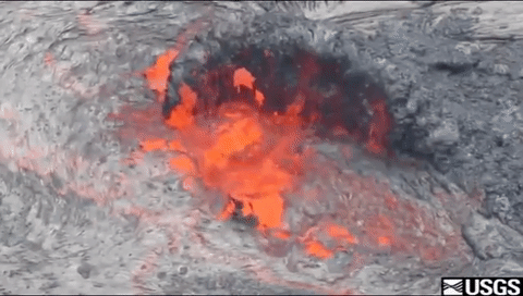
The episode 61g flow continues to enter the ocean and build the del...The episode 61g flow continues to enter the ocean and build the delta at the Kamokuna ocean entry. Small streams of lava along the front of the delta interact with the ocean and produce a large steam plume and occasional littoral bursts.