
USGS Releases Five-year Nationwide Strategic Plan for Volcano Hazards
The plan outlines six strategic goals and scientific targets to help fulfill the program's mission to enhance public safety and minimize social and economic disruption caused by volcanic eruptions.
The U.S. Geological Survey recently released a new Volcano Hazards Program Strategic Science Plan for 2022-2026.
The U.S. Geological Survey recently released a new Volcano Hazards Program Strategic Science Plan for 2022-2026. The plan outlines six strategic goals and scientific targets to help fulfill the program's mission to enhance public safety and minimize social and economic disruption caused by volcanic eruptions.
USGS will use these six strategies to help communities around the Nation prepare and face the hazards posed by the United States' 161 active and potentially active volcanoes.
-
Early Warning System implementation— USGS will continue -- and, when possible, accelerate -- implementation of the National Volcano Early Warning System. The goal of the early warning system is to ensure that scientists can adequately monitor the most hazardous volcanoes well in advance of the onset of activity. This system makes it possible for scientists to improve the timeliness and accuracy of hazard forecasts so that emergency managers and citizens have more time to take proper, timely actions to reduce risk.
-
Improved preparedness—The Volcano Hazards Program will place a major emphasis on preparedness, both for communities at risk, land managers, and emergency responders. Examples include conducting simulated, interactive exercises that test volcano response procedures, holding public meetings that raise awareness of local volcanic hazards and build familiarity and trust with the local volcano observatory, and developing and maintaining multi-agency response plans for the most threatening volcanoes.
-
Updated volcanic hazard assessments—To increase preparedness to respond to crises, the program will begin the development of a next generation of hazard assessments for the Nation’s high-threat and high-threat volcanoes. Past hazard assessments were largely paper maps illustrating the reach of volcanic hazards such as volcanic mudflows, ash fall, and hot avalanche deposits originating from pyroclastic flows and surges on the surrounding landscape. This new generation of assessments will be co-developed by the USGS and the end-users in a digital portfolio of products and tools making locally relevant information, such as exposed population centers and critical infrastructure, easier for the public and emergency responders to understand and visualize.

-
New observations and instrumentation—Technological and conceptual advancements enable improved eruption forecasting and warning. Over the next five years, the Volcano Science Center will implement new remote and improve existing monitoring instrumentation.
-
Rebuilding Hawaiian Volcano Observatory facility and its monitoring capabilities—The 2018 Kīlauea summit and lower East Rift Zone eruption led to the loss of USGS monitoring instruments and critical telemetry nodes at this crucial location. The event also caused irreparable damage to the Hawaiian Volcano Observatory facility. USGS will use Disaster Supplemental Funds to replace lost monitoring equipment, harden networks, reconfigure data telemetry, and construct a new observatory.
-
Expanded partnerships—USGS will strengthen existing partnerships and form new partnerships with universities and other government agencies to advance volcano monitoring, increase understanding of volcanic processes, and share useful USGS information. For example, ash-forming volcanic eruptions eject ash and magmatic gases that can affect commercial flight levels. Through coordinated response, USGS works with the NOAA National Weather Service, who operates Volcanic Ash Advisory Centers, to communicate the threats that ash clouds can pose to the aviation sector up to thousands of miles downwind.
These goals will guide USGS’s critical scientific work and ensure that the Volcano Hazards Program builds upon its existing strengths in volcano monitoring, technology development, hazard assessment, core research, and communications and outreach.

Over the five-year scope of this plan, USGS will target key research topics to advance and support these strategic goals:
-
Volcano seismicity—Processes in and around volcanoes, such as the ascent of magma, can cause small magnitude earthquakes. Scientists can glean information about magma ascent from the location and type of earthquakes occurring. Some magma stalls in its ascent to the surface and other times, the number of earthquakes increases with continued magma ascent. The USGS will focus future studies on better understanding several aspects of this volcano seismicity, emphasizing developing better-integrated alarm systems that incorporate data from other types of ground sensors.
-
Probabilistic eruption forecasting—In short, this is the hard-hitting science behind delivering timely and accurate eruption forecasts. This is a core mission responsibility of the Volcano Hazards Program. To improve scientist’s ability to forecast and adequately assess uncertainties, this effort will be supported by new, comprehensive eruption databases and more robust statistics.

-
Eruptive histories and geochronology—The U.S. has 161 volcanoes that are either active now or have the potential to become active. Each of these has a unique history of eruption. USGS will improve and refine our scientific understanding of eruption histories and dates (including prehistoric eruptions) for the nation’s most threatening volcanoes, through the application of multiple expert techniques.
-
Improved physical models of eruptions —USGS will continue to advance fundamental understanding of the physical properties that drive eruptions. This research will generate improved physical models of magmatic systems and eruption processes through investigation of parameters that control eruption style, size, frequency and duration.
-
Volcanic clouds— Volcanic ash and gas clouds can impact population centers and critical infrastructure hundreds to thousands of kilometers downwind of the source and pose threats to commercial and military aviation. USGS will work with its partners to improve warnings and forecasts of ashfall and gas emissions and characterize vog (volcanic smog) sources.
-
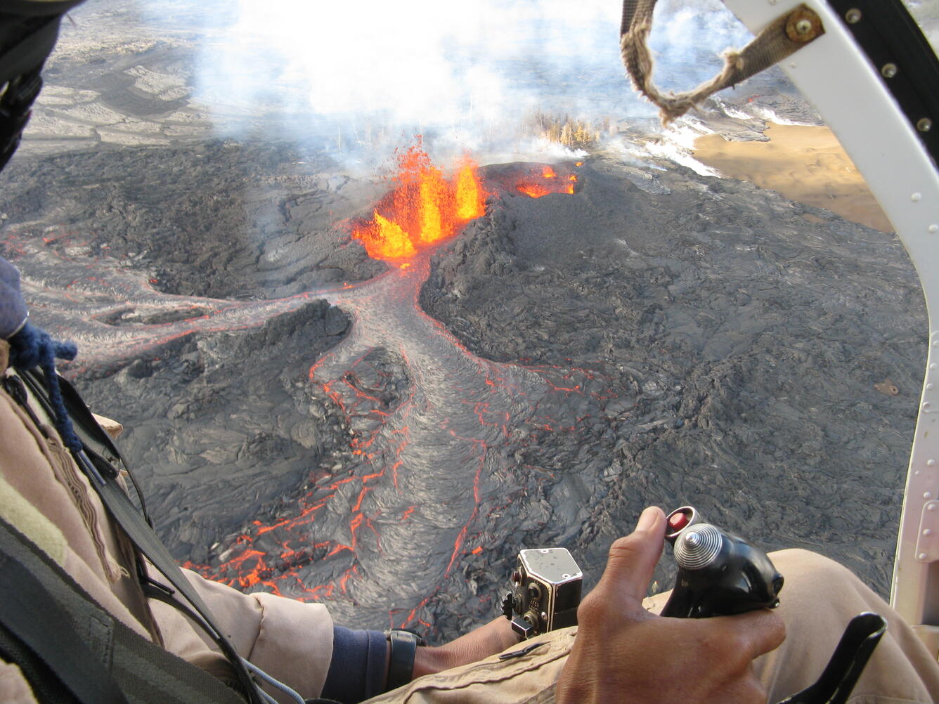
Lava flows— Lava flows from future eruptions of Hawaiian volcanoes will continue to threaten built infrastructure. To address this threat, USGS volcanologists will invest more research into improving lava flow modeling and tracking capabilities. They will also adapt existing lava flow modeling software – developed after decades of observations and studies of lava flows from Italy’s Mount Etna -- to expand its capability to accurately model the likely flow paths of Hawaiian types of lava such as “pahoehoe” and “aa” lavas.
This plan aligns with the Natural Hazards Mission Area Strategic Plan (2013-2023) and USGS 21st Century Science Strategy, prioritizing USGS activities and topical research areas across the United States.
A detailed look at the Volcano Hazards Program Strategic Science Plan for 2022-2026 is available here: https://doi.org/10.3133/cir1492.
Learn more about the Volcano Hazards Program and the USGS Volcano Science Center's various web resources through our Volcanos and USGS Volcano Science: Just the Facts guide.