U.S. flag

An official website of the United States government

Webcams

The USGS maintains a variety of webcams across the U.S. These webcams provide valuable research information and data to the USGS scientists, the National Weather Service, emergency managers, and area residents to evaluate near, real-time conditions during natural hazard events (most webcams refresh every 5 - 20 minutes).

Filter Total Items: 351
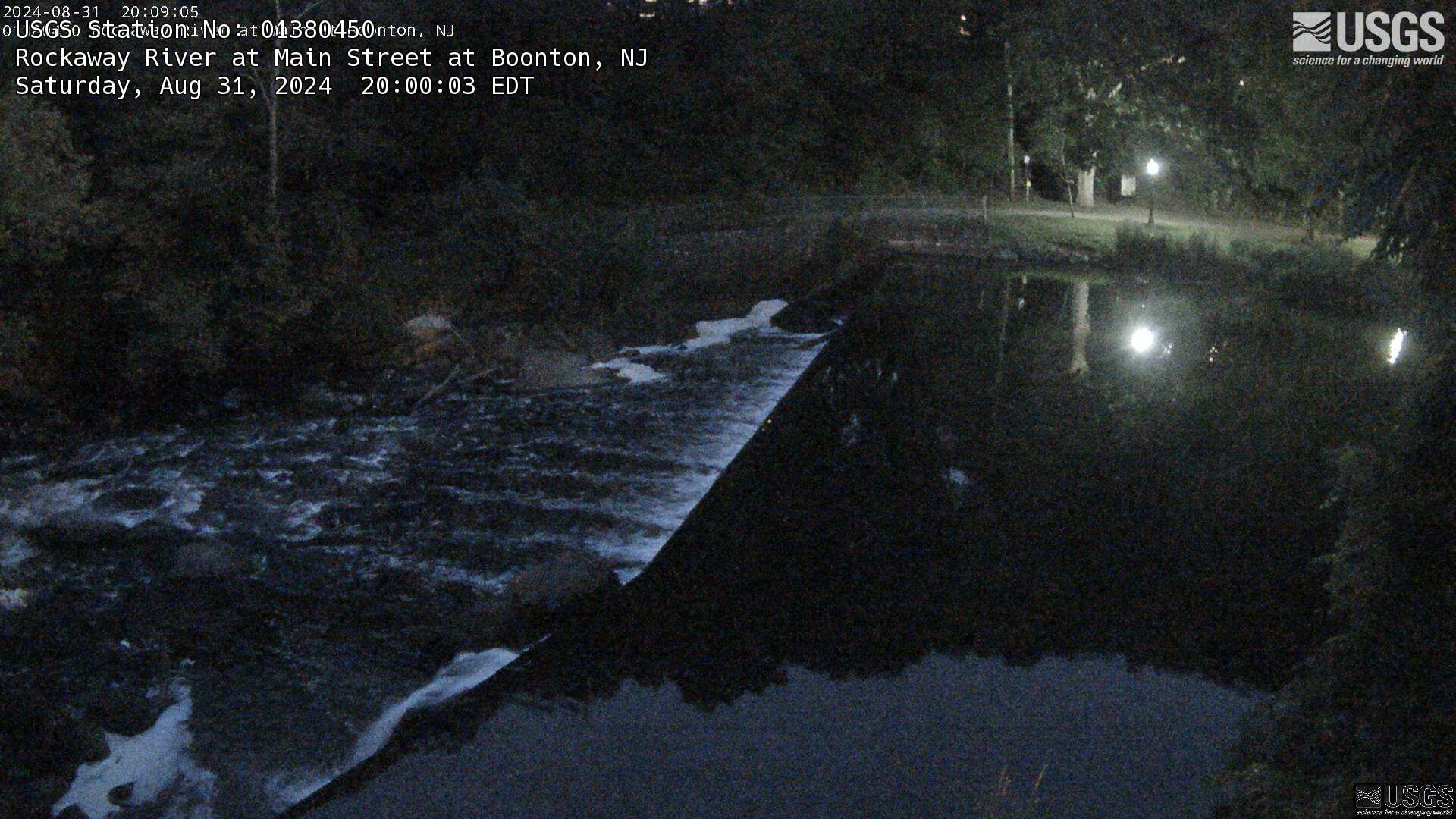
View of the Weir at Rockaway River at Main St. at Boonton, NJ
Streamgage 01380450 Rockaway River at Main St. at Boonton, NJ

Webcam at USGS Streamgage 01380450 Rockaway River at Main St. at Boonton, NJ.

Visit Water Data For the Nation to get current data for this site.
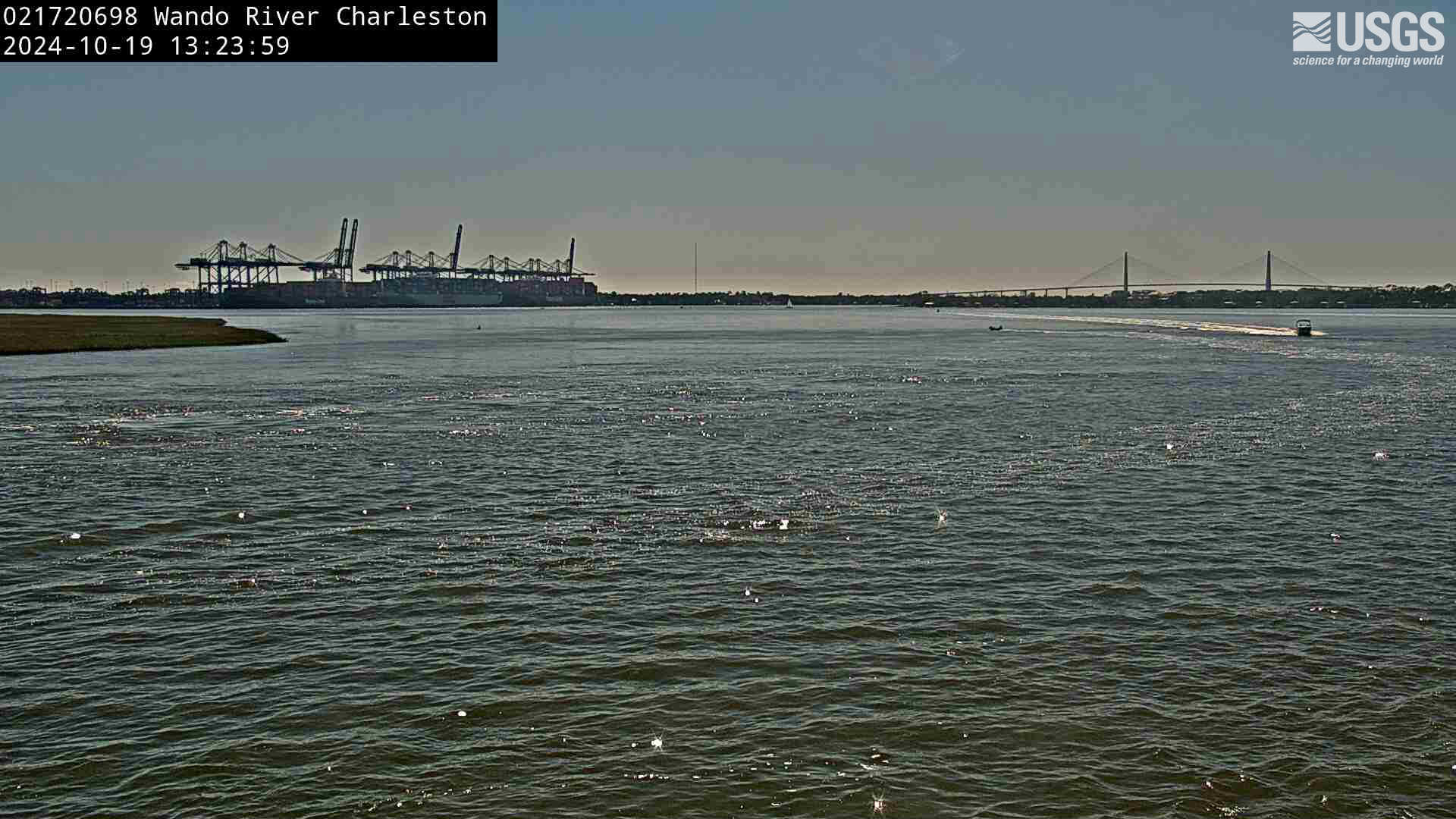
View of Wando River, under a large bridge, Mt. Pleasant, SC.
Wando River above Mt. Pleasant (021720698)

We have installed a webcam at Wando River above Mt. Pleasant to allow you to view (in real time) the current conditions.

We have installed a webcam at Wando River above Mt. Pleasant to allow you to view (in real time) the current conditions.

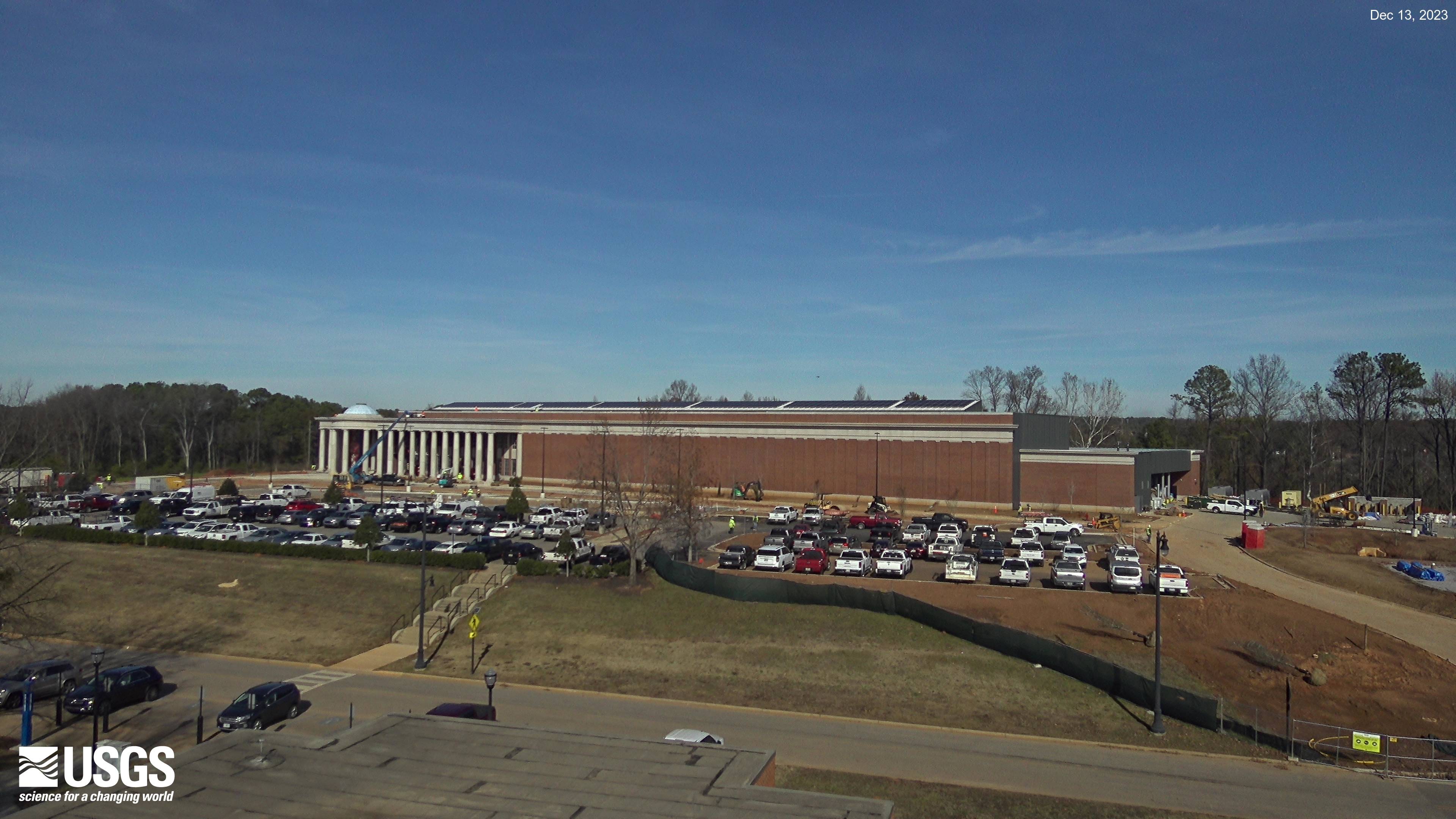
Current view of the HIF construction project in Tuscaloosa, Alabama.
HIF Construction in Tuscaloosa, Alabama

The current view of construction progress at the new HIF facility in Tuscaloosa, Alabama.

Zoomed-in view of a small section of the beach from Madeira Beach camera 2 shows water blurred by the time-averaging process
Time-averaged image at Madeira Beach, Florida, Camera 2

Time-averaged images, which represent the time-mean of all the images collected during a video, are used to identify areas where waves are breaking, which show up as bright white bands in the image.

Time-averaged images, which represent the time-mean of all the images collected during a video, are used to identify areas where waves are breaking, which show up as bright white bands in the image.

Zoomed-in view of a small section of the beach from Madeira Beach camera 2 shows tourists walking along the beach
Most recent snapshot at Madeira Beach, Florida, Camera 2
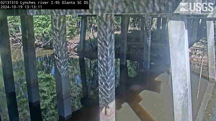
View of the river from under a road bridge.
Lynches River at I-95, above Olanta, SC (02131510, Downstream)

We have installed a webcam at the Lynches River at I-95, above Olanta to allow you to view, in real time, the current river-stage conditions.

During periods of flooding, the South Atlantic Water Science Center - South Carolina will take control of the camera.

We have installed a webcam at the Lynches River at I-95, above Olanta to allow you to view, in real time, the current river-stage conditions.

During periods of flooding, the South Atlantic Water Science Center - South Carolina will take control of the camera.

Live webcam video at French Broad River below I-26 near Bent Creek, NC
French Broad River below I-26 near Bent Creek, NC (03448050)

The camera is located on the right bank of the French Broad River facing northeast; the river flows from left to right.
Water-quality monitoring equipment can be seen at the bottom-center of the viewing area.

Camera is sponsored by the NC Department of Transportation .

The camera is located on the right bank of the French Broad River facing northeast; the river flows from left to right.
Water-quality monitoring equipment can be seen at the bottom-center of the viewing area.

Camera is sponsored by the NC Department of Transportation .

Live webcam video at French Broad River at Asheville, NC
French Broad River at Asheville, NC (03451500)

The camera is located on the right bank of the French Broad River facing northwest; the river flows from left to right.
Discharge, precipitation, and water-quality monitoring equipment is also located at this station (not shown in viewing area).

Camera is sponsored by the NC Department of Transportation.

The camera is located on the right bank of the French Broad River facing northwest; the river flows from left to right.
Discharge, precipitation, and water-quality monitoring equipment is also located at this station (not shown in viewing area).

Camera is sponsored by the NC Department of Transportation.

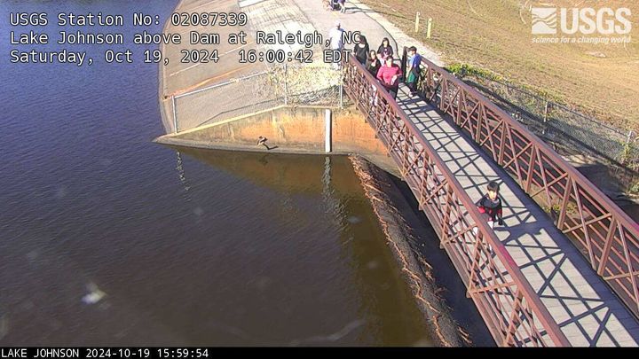
Live webcam video at Lake Johnson above Dam at Raleigh, NC
Lake Johnson above Dam at Raleigh, NC (02087339)

We have installed a webcam at Lake Johnson, Raleigh, NC to allow you to view (in real time) the current lake elevation conditions.

Camera is sponsored by the City of Raleigh, Stormwater Management.

We have installed a webcam at Lake Johnson, Raleigh, NC to allow you to view (in real time) the current lake elevation conditions.

Camera is sponsored by the City of Raleigh, Stormwater Management.

Looking at the river as it flows directly under a bridge
Black River at I-95, near Manning, SC (02135501, Upstream)

We have installed a webcam at the Black River at I-95, near Manning to allow you to view, in real time, the current river-stage conditions.

During periods of flooding, the South Atlantic Water Science Center - South Carolina will take control of the camera.

We have installed a webcam at the Black River at I-95, near Manning to allow you to view, in real time, the current river-stage conditions.

During periods of flooding, the South Atlantic Water Science Center - South Carolina will take control of the camera.

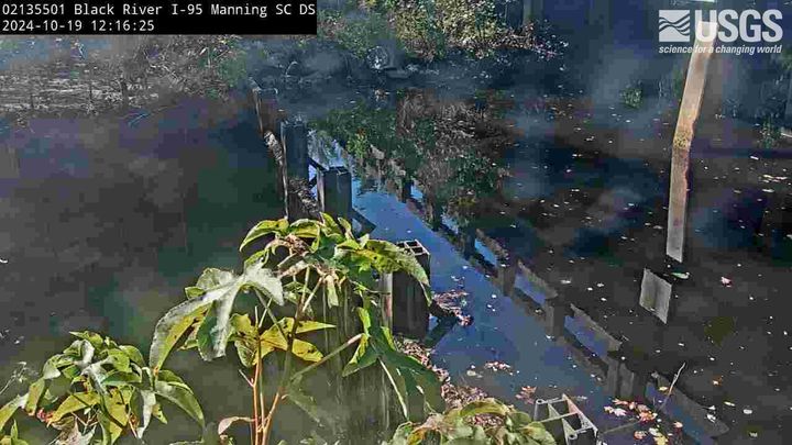
Live webcam video at Black River at I-95, near Manning, SC, Downstream
Black River at I-95, near Manning, SC (02135501, Downstream)

We have installed a webcam at the Black River at I-95, near Manning to allow you to view, in real time, the current river-stage conditions.

During periods of flooding, the South Atlantic Water Science Center - South Carolina will take control of the camera.

We have installed a webcam at the Black River at I-95, near Manning to allow you to view, in real time, the current river-stage conditions.

During periods of flooding, the South Atlantic Water Science Center - South Carolina will take control of the camera.

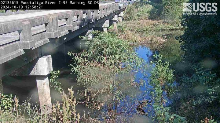
Overlooking river from the river bank, alongside a road bridge.
Pocotaligo River at I-95, above Manning, SC (02135615, Downstream)

We have installed a webcam at Pocotaligo River at I-95, above Manning to allow you to view (in real time) the current river-stage conditions. 

During periods of flooding, the South Atlantic Water Science Center will take control of the camera.

We have installed a webcam at Pocotaligo River at I-95, above Manning to allow you to view (in real time) the current river-stage conditions. 

During periods of flooding, the South Atlantic Water Science Center will take control of the camera.

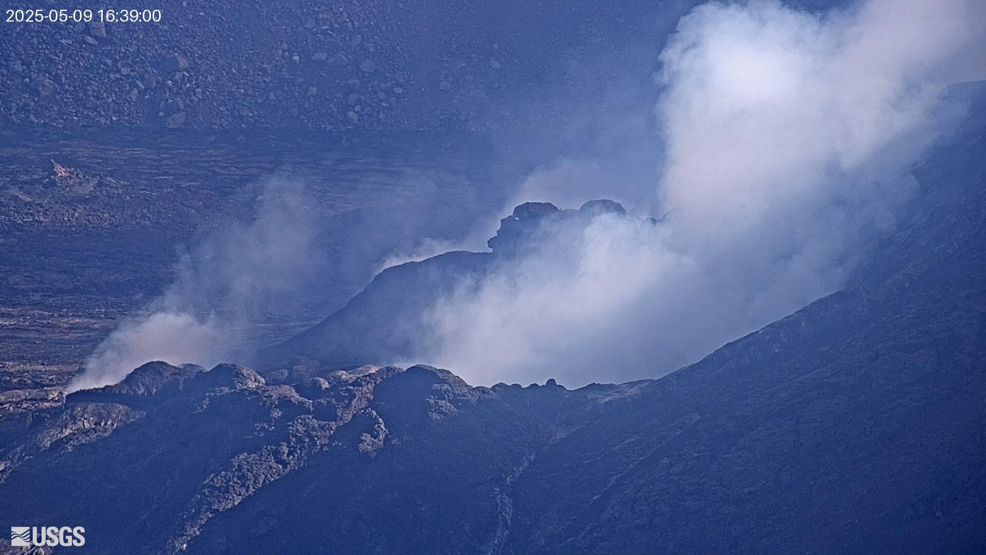
Webcam image view of volcanic vent in summit crater
[V1cam] Kīlauea volcano, Hawaii (west Halemaʻumaʻu crater)
[V1cam] Kīlauea volcano, Hawaii (west Halemaʻumaʻu crater)
[V1cam] Kīlauea volcano, Hawaii (west Halemaʻumaʻu crater)

Live view of Halemaʻumaʻu crater within Kaluapele (Kīlauea caldera), from the northwest rim of the crater [V1cam]. This camera is a pan-tilt-zoom model and the view may change depending on activity.

Disclaimer

Live view of Halemaʻumaʻu crater within Kaluapele (Kīlauea caldera), from the northwest rim of the crater [V1cam]. This camera is a pan-tilt-zoom model and the view may change depending on activity.

Disclaimer

View of an Arctic beach area with gentle waters.
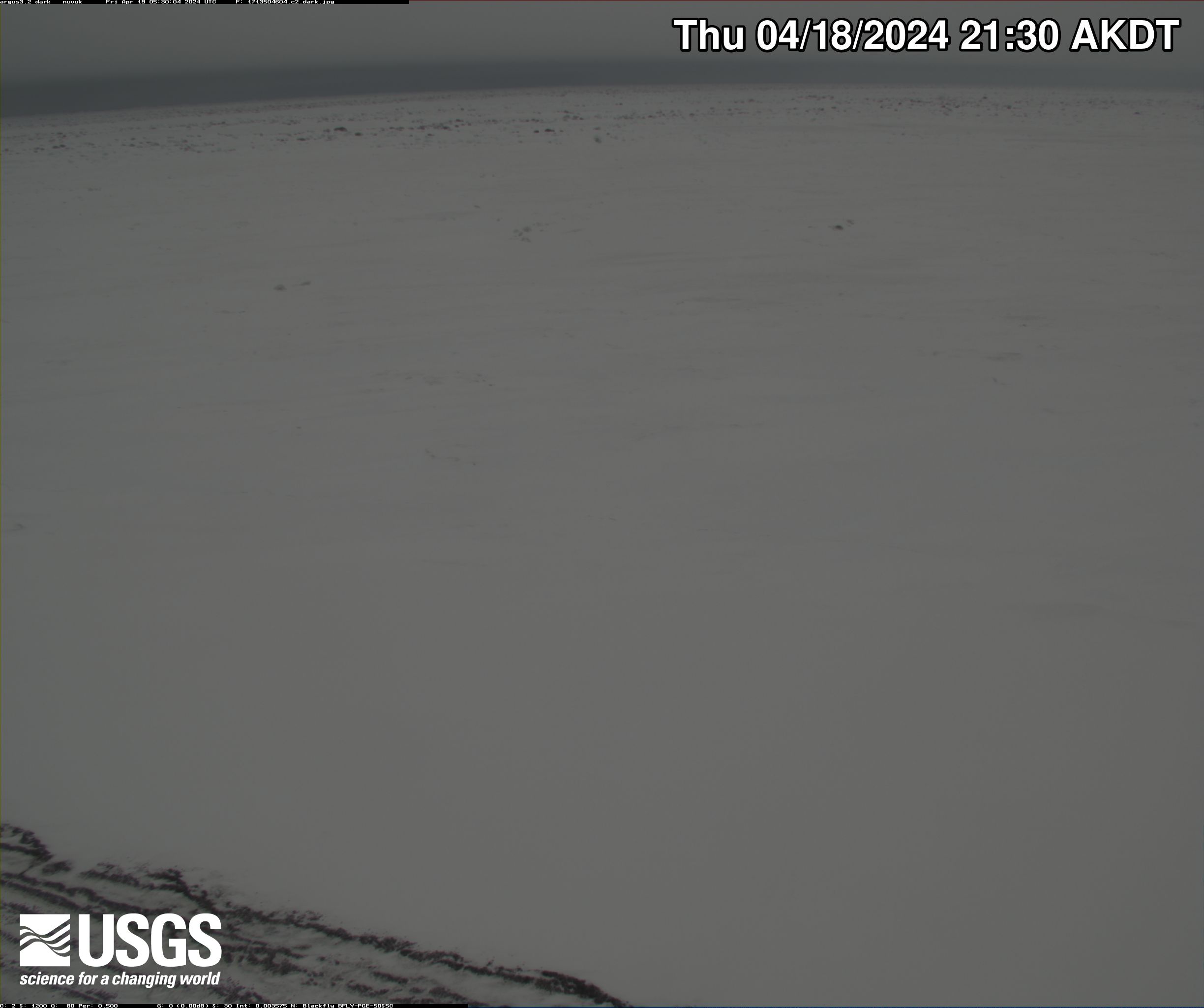
Nuvuk video camera 1 dark image

Two video cameras are installed atop a utility pole near the northernmost point of land in the United States at Nuvuk (Point Barrow), Alaska. The cameras point northwest toward the Arctic Ocean and the boundary between the Chukchi and Beaufort Seas. Every half hour during daylight hours, the cameras collect snapshots and video for 10 minutes.

Two video cameras are installed atop a utility pole near the northernmost point of land in the United States at Nuvuk (Point Barrow), Alaska. The cameras point northwest toward the Arctic Ocean and the boundary between the Chukchi and Beaufort Seas. Every half hour during daylight hours, the cameras collect snapshots and video for 10 minutes.

View of an Arctic beach area with gentle waters.
Nuvuk video camera 2 bright image

Two video cameras are installed atop a utility pole near the northernmost point of land in the United States at Nuvuk (Point Barrow), Alaska. The cameras point northwest toward the Arctic Ocean and the boundary between the Chukchi and Beaufort Seas. Every half hour during daylight hours, the cameras collect snapshots and video for 10 minutes.

Two video cameras are installed atop a utility pole near the northernmost point of land in the United States at Nuvuk (Point Barrow), Alaska. The cameras point northwest toward the Arctic Ocean and the boundary between the Chukchi and Beaufort Seas. Every half hour during daylight hours, the cameras collect snapshots and video for 10 minutes.

View of an Arctic beach area with gentle waters.
Nuvuk video camera 2 dark image

Two video cameras are installed atop a utility pole near the northernmost point of land in the United States at Nuvuk (Point Barrow), Alaska. The cameras point northwest toward the Arctic Ocean and the boundary between the Chukchi and Beaufort Seas. Every half hour during daylight hours, the cameras collect snapshots and video for 10 minutes.

Two video cameras are installed atop a utility pole near the northernmost point of land in the United States at Nuvuk (Point Barrow), Alaska. The cameras point northwest toward the Arctic Ocean and the boundary between the Chukchi and Beaufort Seas. Every half hour during daylight hours, the cameras collect snapshots and video for 10 minutes.

View of an Arctic beach area with gentle waters.
Nuvuk video camera 1 bright image

Two video cameras are installed atop a utility pole near the northernmost point of land in the United States at Nuvuk (Point Barrow), Alaska. The cameras point northwest toward the Arctic Ocean and the boundary between the Chukchi and Beaufort Seas. Every half hour during daylight hours, the cameras collect snapshots and video for 10 minutes.

Two video cameras are installed atop a utility pole near the northernmost point of land in the United States at Nuvuk (Point Barrow), Alaska. The cameras point northwest toward the Arctic Ocean and the boundary between the Chukchi and Beaufort Seas. Every half hour during daylight hours, the cameras collect snapshots and video for 10 minutes.

View of an Arctic beach area with gentle waters.
Nuvuk video camera 1 time exposure

Two video cameras are installed atop a utility pole near the northernmost point of land in the United States at Nuvuk (Point Barrow), Alaska. The cameras point northwest toward the Arctic Ocean and the boundary between the Chukchi and Beaufort Seas. Every half hour during daylight hours, the cameras collect snapshots and video for 10 minutes.

Two video cameras are installed atop a utility pole near the northernmost point of land in the United States at Nuvuk (Point Barrow), Alaska. The cameras point northwest toward the Arctic Ocean and the boundary between the Chukchi and Beaufort Seas. Every half hour during daylight hours, the cameras collect snapshots and video for 10 minutes.

View of an Arctic beach area with gentle waters.
Nuvuk video camera 1 variance image

Two video cameras are installed atop a utility pole near the northernmost point of land in the United States at Nuvuk (Point Barrow), Alaska. The cameras point northwest toward the Arctic Ocean and the boundary between the Chukchi and Beaufort Seas. Every half hour during daylight hours, the cameras collect snapshots and video for 10 minutes.

Two video cameras are installed atop a utility pole near the northernmost point of land in the United States at Nuvuk (Point Barrow), Alaska. The cameras point northwest toward the Arctic Ocean and the boundary between the Chukchi and Beaufort Seas. Every half hour during daylight hours, the cameras collect snapshots and video for 10 minutes.

View of an Arctic beach area with gentle waters.
Nuvuk video camera 2 snapshop

Two video cameras are installed atop a utility pole near the northernmost point of land in the United States at Nuvuk (Point Barrow), Alaska. The cameras point northwest toward the Arctic Ocean and the boundary between the Chukchi and Beaufort Seas. Every half hour during daylight hours, the cameras collect snapshots and video for 10 minutes.

Two video cameras are installed atop a utility pole near the northernmost point of land in the United States at Nuvuk (Point Barrow), Alaska. The cameras point northwest toward the Arctic Ocean and the boundary between the Chukchi and Beaufort Seas. Every half hour during daylight hours, the cameras collect snapshots and video for 10 minutes.

View of an Arctic beach area with gentle waters.
Nuvuk video camera 2 time exposure

Two video cameras are installed atop a utility pole near the northernmost point of land in the United States at Nuvuk (Point Barrow), Alaska. The cameras point northwest toward the Arctic Ocean and the boundary between the Chukchi and Beaufort Seas. Every half hour during daylight hours, the cameras collect snapshots and video for 10 minutes.

Two video cameras are installed atop a utility pole near the northernmost point of land in the United States at Nuvuk (Point Barrow), Alaska. The cameras point northwest toward the Arctic Ocean and the boundary between the Chukchi and Beaufort Seas. Every half hour during daylight hours, the cameras collect snapshots and video for 10 minutes.

Was this page helpful?