



Two video cameras overlook the coast from atop a windmill tower in Unalakleet, Alaska where they look westward over Norton Sound. Every half hour during daylight hours, the cameras collect snapshots and video for 10 minutes. Today’s most recent image from camera 2 is shown here.
Webcams
The USGS maintains a variety of webcams across the U.S. These webcams provide valuable research information and data to the USGS scientists, the National Weather Service, emergency managers, and area residents to evaluate near, real-time conditions during natural hazard events (most webcams refresh every 5 - 20 minutes).
Filter Total Items: 351

Unalakleet video camera 2 bright image
Two video cameras overlook the coast from atop a windmill tower in Unalakleet, Alaska where they look westward over Norton Sound. Every half hour during daylight hours, the cameras collect snapshots and video for 10 minutes. Today’s most recent image from camera 2 is shown here.
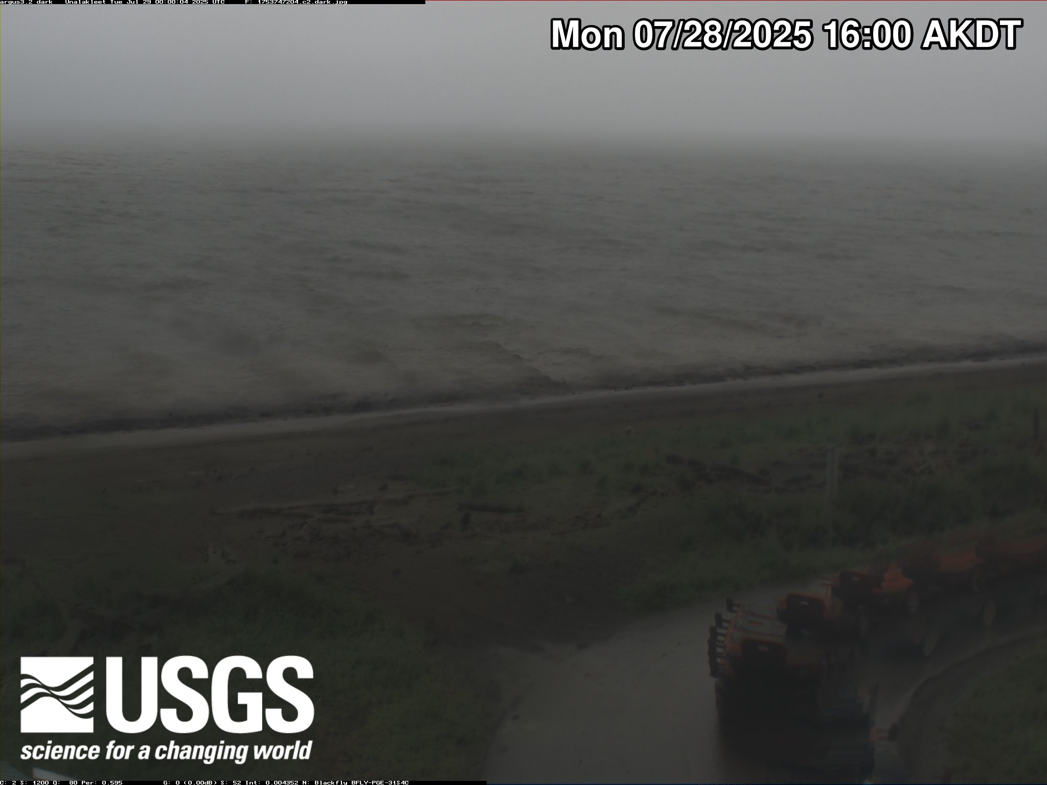
Unalakleet video camera 2 dark image
Two video cameras overlook the coast from atop a windmill tower in Unalakleet, Alaska where they look westward over Norton Sound. Every half hour during daylight hours, the cameras collect snapshots and video for 10 minutes. Today’s most recent image from camera 2 is shown here.
Two video cameras overlook the coast from atop a windmill tower in Unalakleet, Alaska where they look westward over Norton Sound. Every half hour during daylight hours, the cameras collect snapshots and video for 10 minutes. Today’s most recent image from camera 2 is shown here.

Unalakleet video camera 2 time exposure
Two video cameras overlook the coast from atop a windmill tower in Unalakleet, Alaska where they look westward over Norton Sound. Every half hour during daylight hours, the cameras collect snapshots and video for 10 minutes. Today’s most recent time-exposure (timex) image from camera 2 is shown here.
Two video cameras overlook the coast from atop a windmill tower in Unalakleet, Alaska where they look westward over Norton Sound. Every half hour during daylight hours, the cameras collect snapshots and video for 10 minutes. Today’s most recent time-exposure (timex) image from camera 2 is shown here.
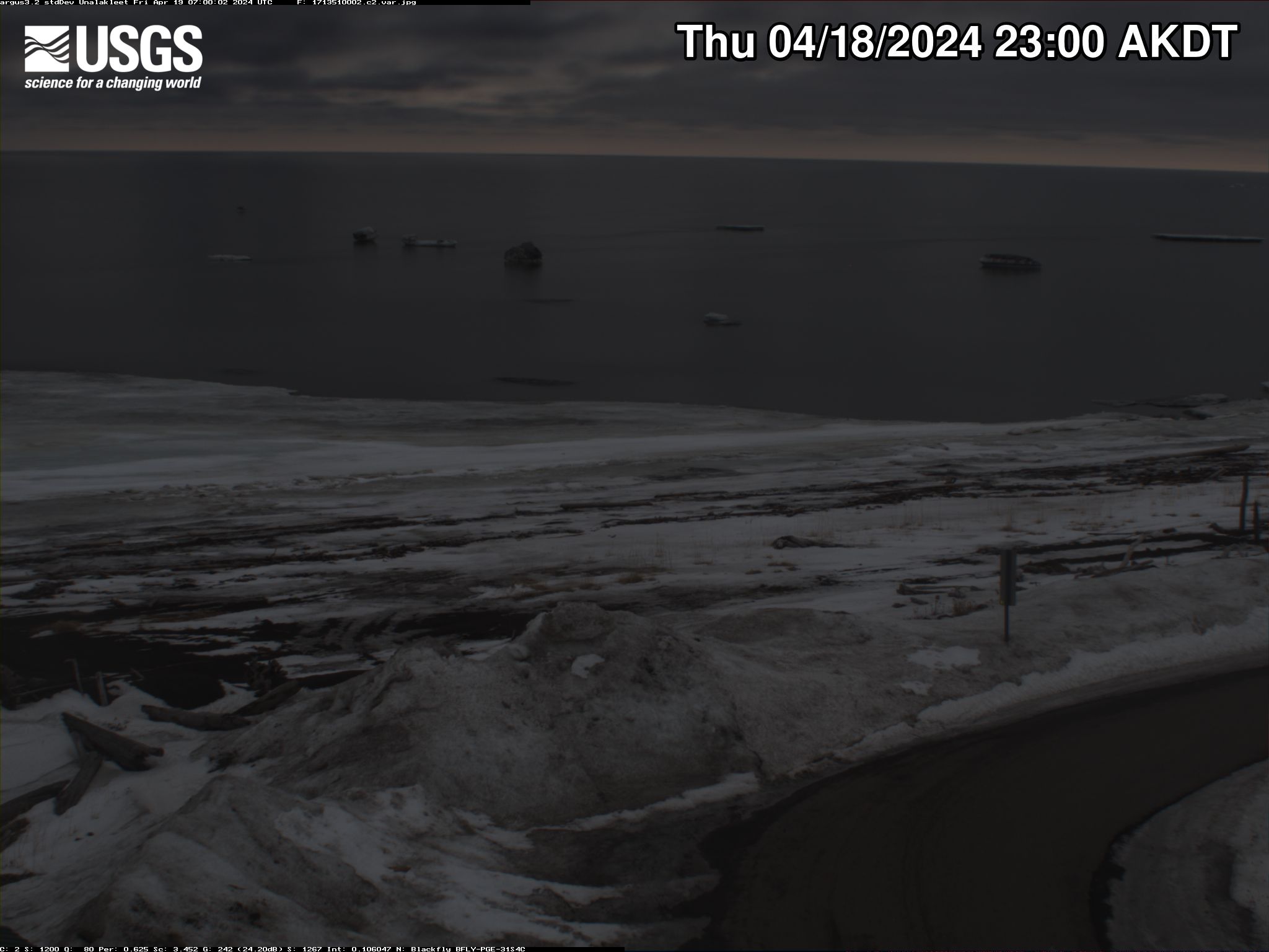
Unalakleet video camera 2 variance image
Two video cameras overlook the coast from atop a windmill tower in Unalakleet, Alaska where they look westward over Norton Sound. Every half hour during daylight hours, the cameras collect snapshots and video for 10 minutes. Today’s most recent image from camera 2 is shown here.
Two video cameras overlook the coast from atop a windmill tower in Unalakleet, Alaska where they look westward over Norton Sound. Every half hour during daylight hours, the cameras collect snapshots and video for 10 minutes. Today’s most recent image from camera 2 is shown here.

Unalakleet video camera 1 snapshot
Two video cameras overlook the coast from atop a windmill tower in Unalakleet, Alaska where they look westward over Norton Sound. Every half hour during daylight hours, the cameras collect snapshots and video for 10 minutes. Today’s most recent image from camera 1 is shown here.
Two video cameras overlook the coast from atop a windmill tower in Unalakleet, Alaska where they look westward over Norton Sound. Every half hour during daylight hours, the cameras collect snapshots and video for 10 minutes. Today’s most recent image from camera 1 is shown here.

Unalakleet video camera 1 time exposure
Two video cameras overlook the coast from atop a windmill tower in Unalakleet, Alaska where they look westward over Norton Sound. Every half hour during daylight hours, the cameras collect snapshots and video for 10 minutes. Today’s most recent time-exposure (timex) image from camera 1 is shown here.
Two video cameras overlook the coast from atop a windmill tower in Unalakleet, Alaska where they look westward over Norton Sound. Every half hour during daylight hours, the cameras collect snapshots and video for 10 minutes. Today’s most recent time-exposure (timex) image from camera 1 is shown here.

Unalakleet video camera 2 snapshot
Two video cameras overlook the coast from atop a windmill tower in Unalakleet, Alaska where they look westward over Norton Sound. Every half hour during daylight hours, the cameras collect snapshots and video for 10 minutes. Today’s most recent image from camera 2 is shown here.
Two video cameras overlook the coast from atop a windmill tower in Unalakleet, Alaska where they look westward over Norton Sound. Every half hour during daylight hours, the cameras collect snapshots and video for 10 minutes. Today’s most recent image from camera 2 is shown here.

Buffalo Bayou at State Hwy 6 near Addicks, Texas
USGS Oklahoma-Texas Water Science Center gaging station camera. USGS Gaging Station 08072600.
USGS Oklahoma-Texas Water Science Center gaging station camera. USGS Gaging Station 08072600.

Langham Creek at Addicks Reservoir Outflow near Addicks, Texas
Langham Creek at Addicks Reservoir Outflow near Addicks, TexasUSGS Oklahoma-Texas Water Science Center gaging station camera. USGS Gaging Station 08073100.
Langham Creek at Addicks Reservoir Outflow near Addicks, Texas
Langham Creek at Addicks Reservoir Outflow near Addicks, TexasUSGS Oklahoma-Texas Water Science Center gaging station camera. USGS Gaging Station 08073100.

Ray Roberts Lake near Pilot Point, Texas
USGS Oklahoma-Texas Water Science Center gaging station camera. USGS Gaging Station 08051100.
USGS Oklahoma-Texas Water Science Center gaging station camera. USGS Gaging Station 08051100.
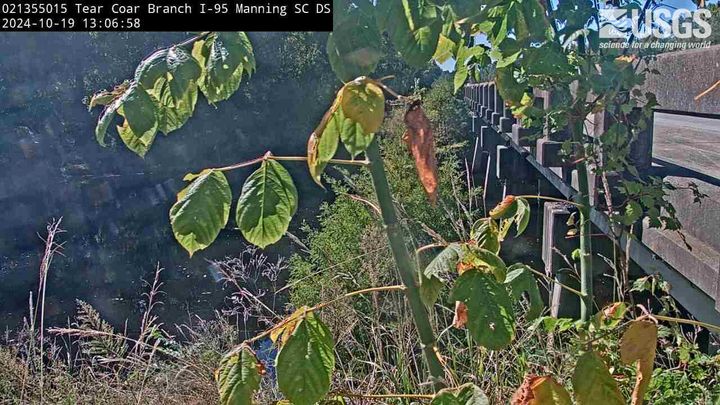
Tearcoat Branch at I-95, near Manning (021355015, Downstream)
Tearcoat Branch at I-95, near Manning (021355015, Downstream)We have installed a webcam at Tearcoat Branch at I-95, near Manning to allow you to view (in real time) the current river-stage conditions.
During periods of flooding, the South Atlantic Water Science Center will take control of the camera.
Camera is sponsored by the SC Department of Transportation.
Tearcoat Branch at I-95, near Manning (021355015, Downstream)
Tearcoat Branch at I-95, near Manning (021355015, Downstream)We have installed a webcam at Tearcoat Branch at I-95, near Manning to allow you to view (in real time) the current river-stage conditions.
During periods of flooding, the South Atlantic Water Science Center will take control of the camera.
Camera is sponsored by the SC Department of Transportation.
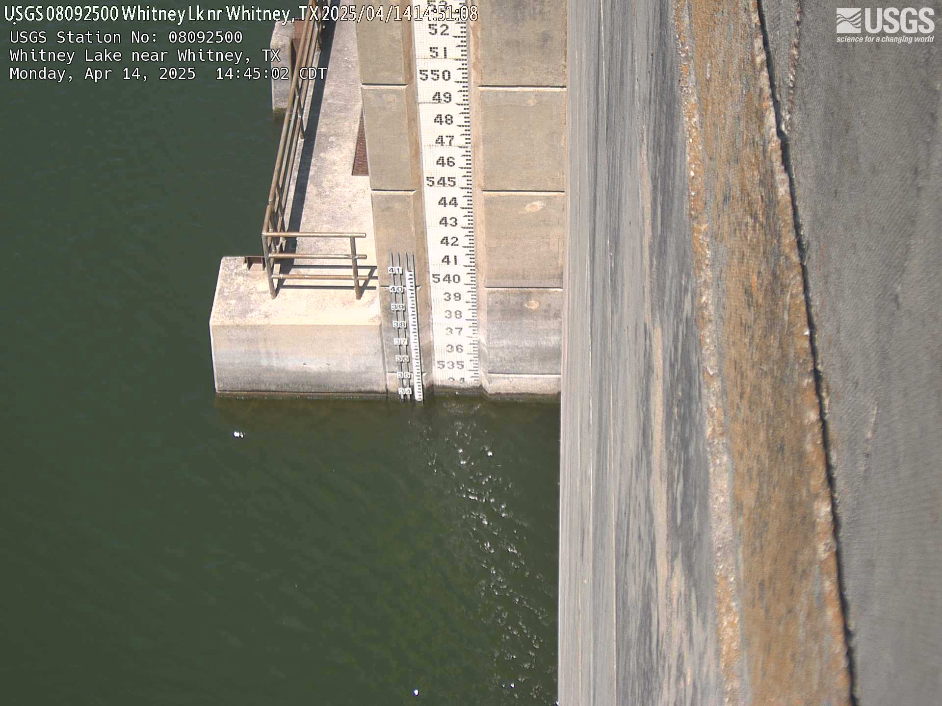
Whitney Lake near Whitney, TX
Webcam for USGS Gaging Station 08092500, Oklahoma-Texas Water Science Center
Webcam for USGS Gaging Station 08092500, Oklahoma-Texas Water Science Center
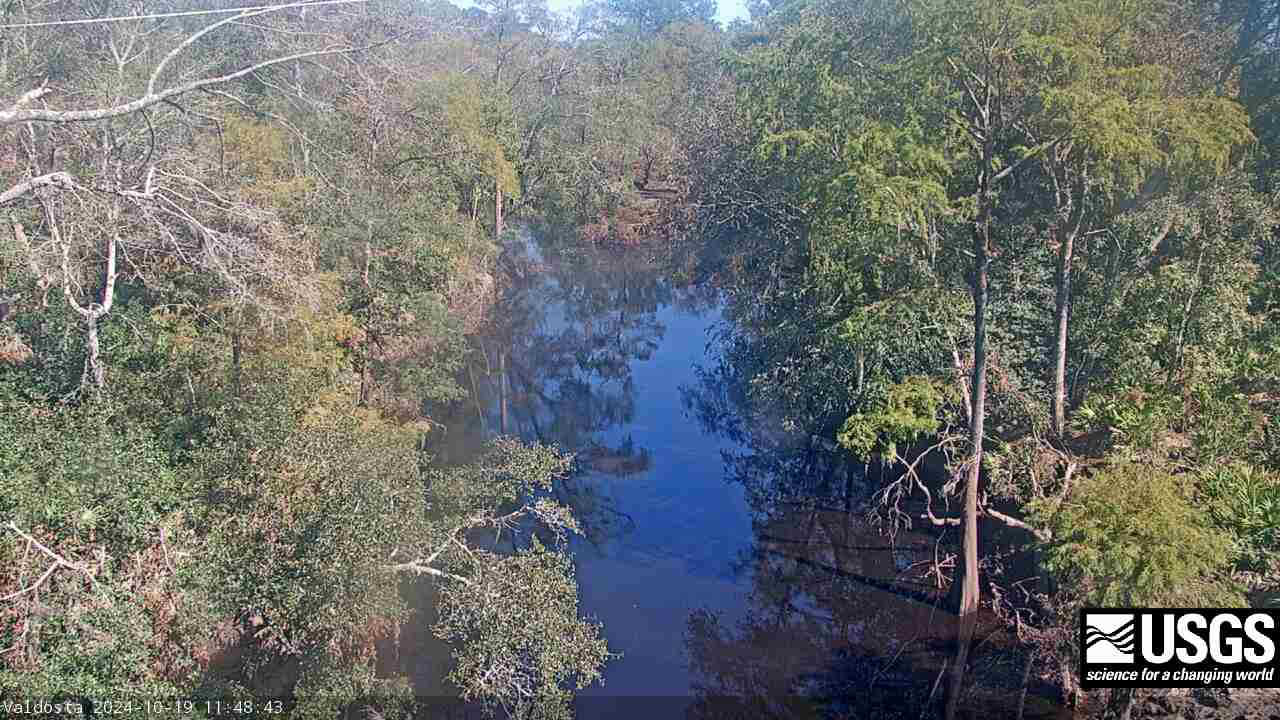
Withlacoochee River at Skipper Bridge Rd. near Bemiss (023177483)
Withlacoochee River at Skipper Bridge Rd. near Bemiss (023177483)We have installed a webcam at the Withlacoochee River at Skipper Bridge Rd. near Bemiss, GA to allow you to view, in real time, the current river-stage conditions.
During periods of flooding, the South Atlantic Water Science Center will take control of the camera.
Withlacoochee River at Skipper Bridge Rd. near Bemiss (023177483)
Withlacoochee River at Skipper Bridge Rd. near Bemiss (023177483)We have installed a webcam at the Withlacoochee River at Skipper Bridge Rd. near Bemiss, GA to allow you to view, in real time, the current river-stage conditions.
During periods of flooding, the South Atlantic Water Science Center will take control of the camera.
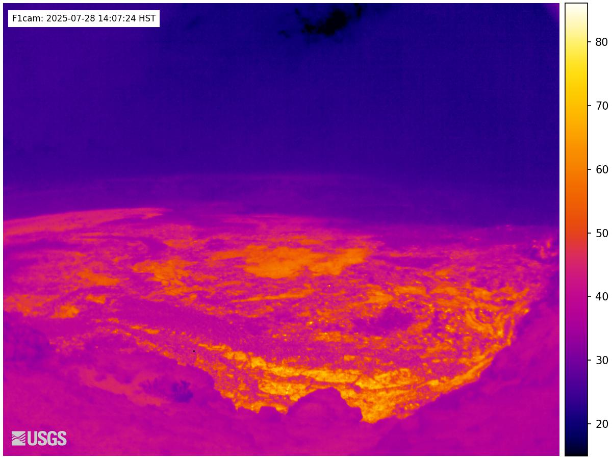
[F1cam] - Kīlauea summit thermal from the west rim of the summit caldera, looking southeast
[F1cam] - Kīlauea summit thermal from the west rim of the summit caldera, looking southeastLive Panorama of Halemaʻumaʻu - thermal image from the west rim of the summit caldera, looking southeast [F1cam].
[F1cam] - Kīlauea summit thermal from the west rim of the summit caldera, looking southeast
[F1cam] - Kīlauea summit thermal from the west rim of the summit caldera, looking southeastLive Panorama of Halemaʻumaʻu - thermal image from the west rim of the summit caldera, looking southeast [F1cam].
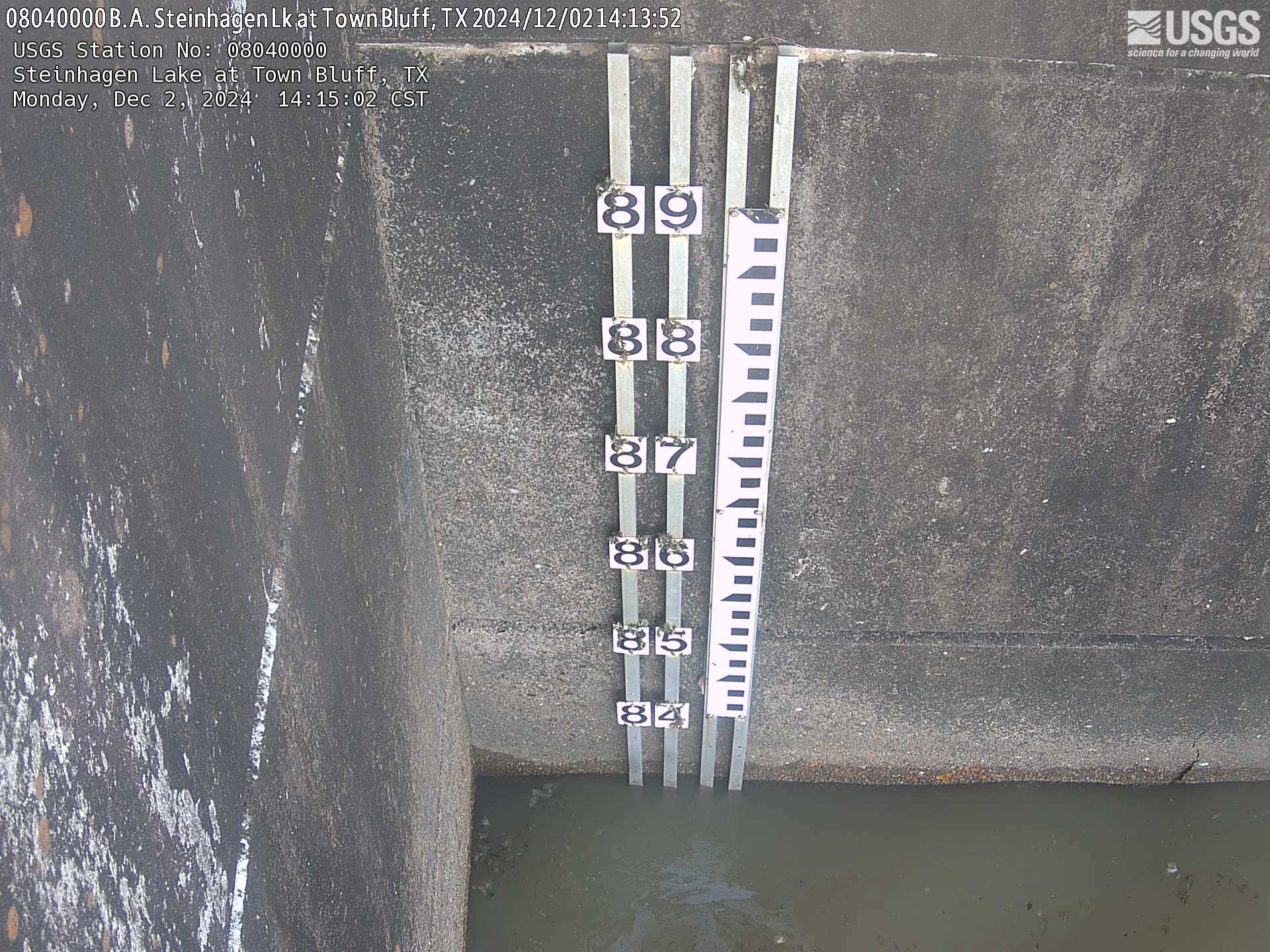
B.A. Steinhagen Lake at Town Bluff, TX
USGS Oklahoma-Texas Water Science Center gaging station camera. USGS Gaging Station 08040000.
USGS Oklahoma-Texas Water Science Center gaging station camera. USGS Gaging Station 08040000.
Bardwell Lake near Ennis, TX
USGS Oklahoma-Texas Water Science Center webcam for Bardwell Lake near Ennis (USGS site number 08063700)
USGS Oklahoma-Texas Water Science Center webcam for Bardwell Lake near Ennis (USGS site number 08063700)
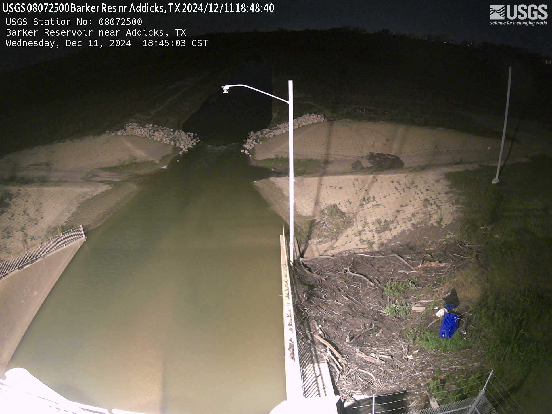
Barker Reservoir near Addicks, Texas
USGS Oklahoma-Texas Water Science Center gaging station camera. USGS Gaging Station 08072500.
USGS Oklahoma-Texas Water Science Center gaging station camera. USGS Gaging Station 08072500.

Blanco River at Crabapple Road near Blanco, TX
USGS Oklahoma-Texas Water Science Center gaging station camera. USGS Gaging Station 08170800.
USGS Oklahoma-Texas Water Science Center gaging station camera. USGS Gaging Station 08170800.

Blanco River at Fischer Store Road near Fischer, Texas
Blanco River at Fischer Store Road near Fischer, TexasUSGS Oklahoma-Texas Water Science Center gaging station camera. USGS Gaging Station 08170950.
Blanco River at Fischer Store Road near Fischer, Texas
Blanco River at Fischer Store Road near Fischer, TexasUSGS Oklahoma-Texas Water Science Center gaging station camera. USGS Gaging Station 08170950.
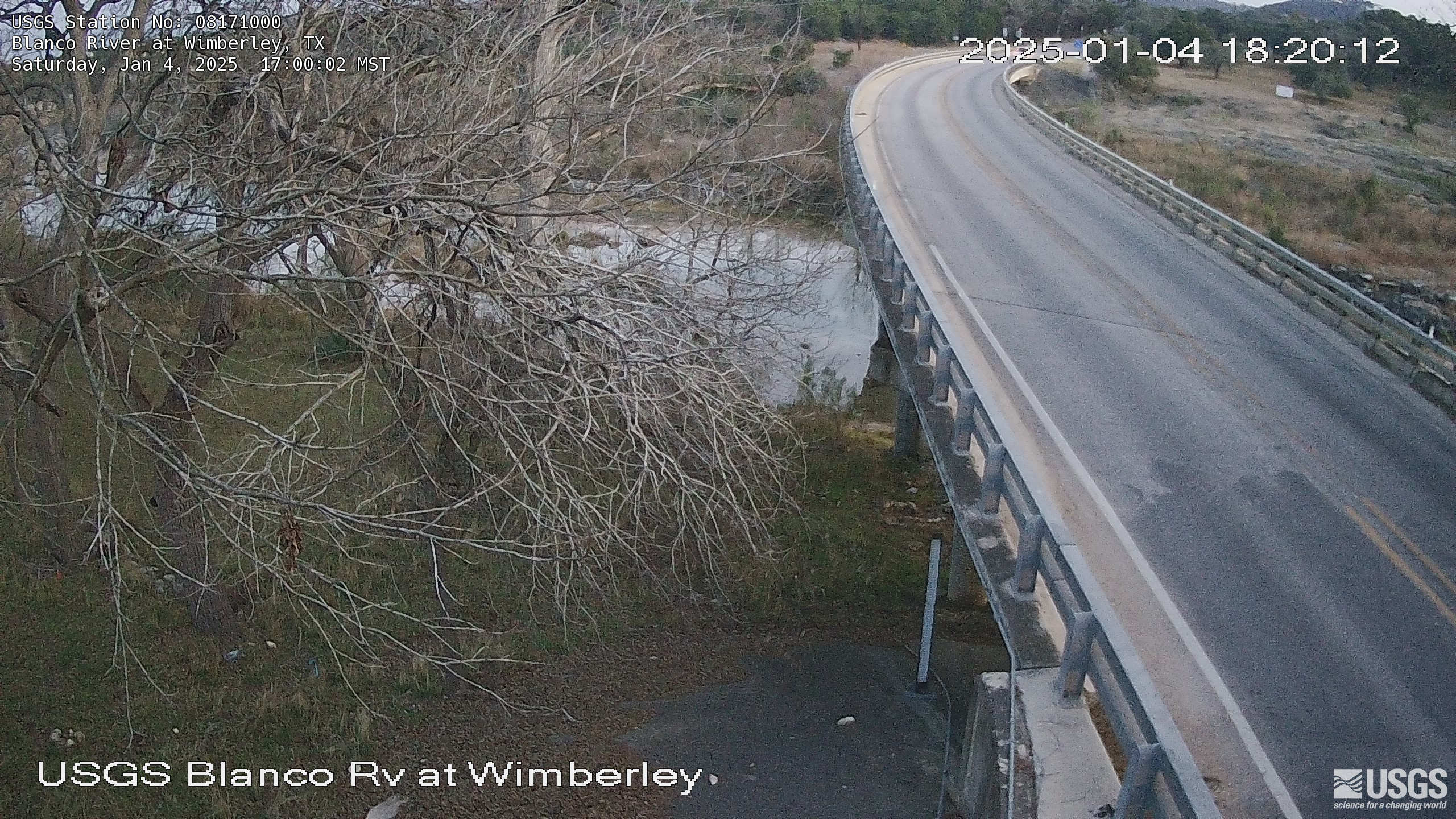
Blanco River at Wimberley, Texas
USGS Oklahoma-Texas Water Science Center gaging station camera. USGS Gaging Station 08171000.
USGS Oklahoma-Texas Water Science Center gaging station camera. USGS Gaging Station 08171000.
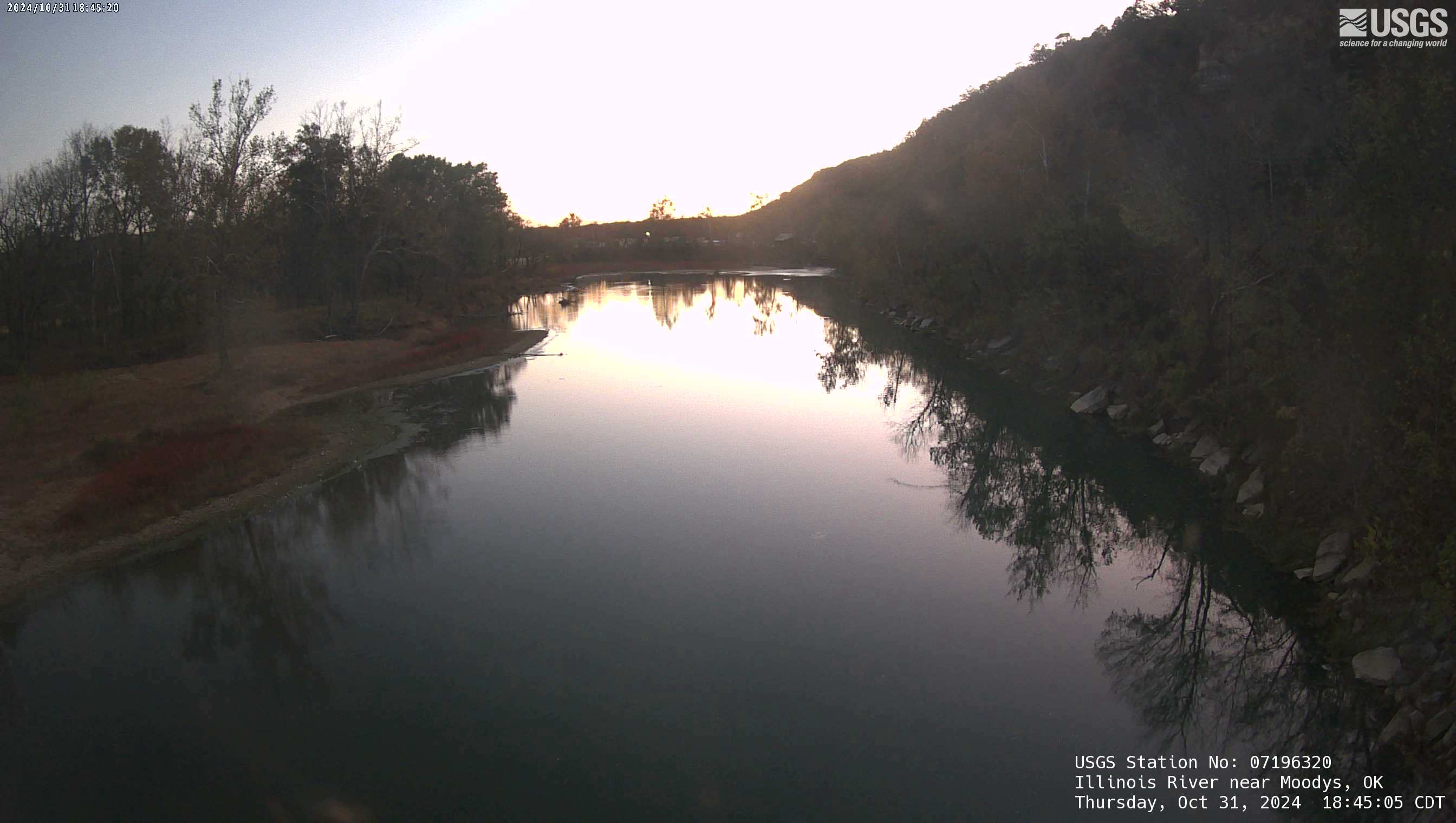
Illinois River near Moodys, OK
The Illinois River Floatcam is located at USGS station 07196320 on the Illinois River near Moodys, OK (Combs Bridge), about 36 miles downstream from the Arkansas state line.
The Illinois River Floatcam is located at USGS station 07196320 on the Illinois River near Moodys, OK (Combs Bridge), about 36 miles downstream from the Arkansas state line.