



Two video cameras are installed atop a utility pole near the northernmost point of land in the United States at Nuvuk (Point Barrow), Alaska. The cameras point northwest toward the Arctic Ocean and the boundary between the Chukchi and Beaufort Seas. Every half hour during daylight hours, the cameras collect snapshots and video for 10 minutes.
Webcams
The USGS maintains a variety of webcams across the U.S. These webcams provide valuable research information and data to the USGS scientists, the National Weather Service, emergency managers, and area residents to evaluate near, real-time conditions during natural hazard events (most webcams refresh every 5 - 20 minutes).
Filter Total Items: 351

Nuvuk video camera 2 variance image
Two video cameras are installed atop a utility pole near the northernmost point of land in the United States at Nuvuk (Point Barrow), Alaska. The cameras point northwest toward the Arctic Ocean and the boundary between the Chukchi and Beaufort Seas. Every half hour during daylight hours, the cameras collect snapshots and video for 10 minutes.

Nuvuk video camera 1 snapshot
Two video cameras are installed atop a utility pole near the northernmost point of land in the United States at Nuvuk (Point Barrow), Alaska. The cameras point northwest toward the Arctic Ocean and the boundary between the Chukchi and Beaufort Seas. Every half hour during daylight hours, the cameras collect snapshots and video for 10 minutes.
Two video cameras are installed atop a utility pole near the northernmost point of land in the United States at Nuvuk (Point Barrow), Alaska. The cameras point northwest toward the Arctic Ocean and the boundary between the Chukchi and Beaufort Seas. Every half hour during daylight hours, the cameras collect snapshots and video for 10 minutes.
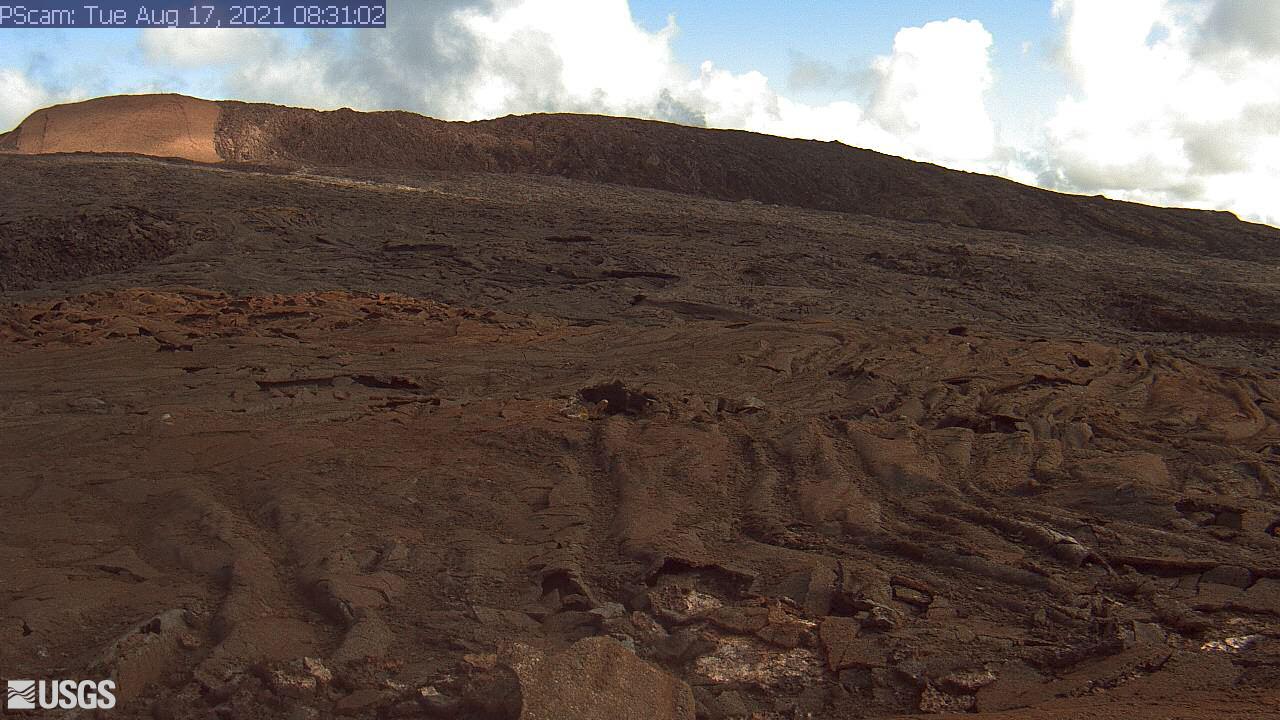
[PScam] Puʻu ʻŌʻō South Flank from the South Rim
This image is from a temporary research camera positioned just south of Puʻu ʻŌʻō, looking north at the southern flank of Puʻu ʻŌʻō's cone.
Disclaimer
This image is from a temporary research camera positioned just south of Puʻu ʻŌʻō, looking north at the southern flank of Puʻu ʻŌʻō's cone.
Disclaimer
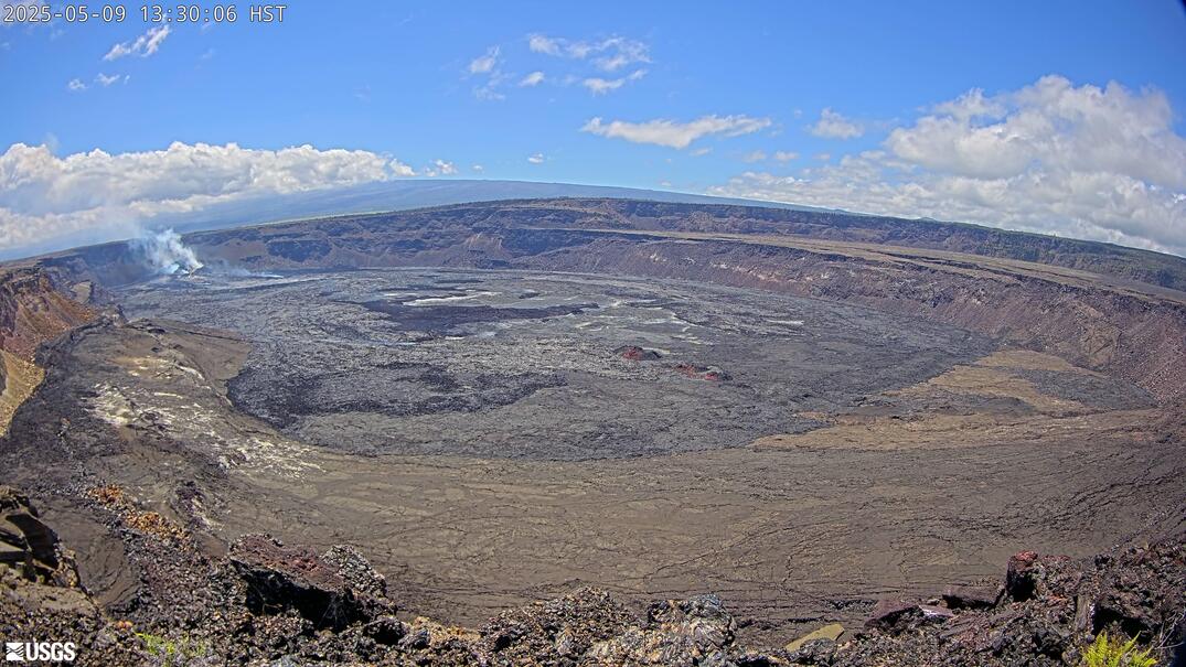
[B1cam] - Kīlauea caldera down-dropped block and Halemaʻumaʻu
[B1cam] - Kīlauea caldera down-dropped block and HalemaʻumaʻuLive view of Kīlauea caldera down-dropped block and Halemaʻumaʻu crater from the east rim of the caldera.
[B1cam] - Kīlauea caldera down-dropped block and Halemaʻumaʻu
[B1cam] - Kīlauea caldera down-dropped block and HalemaʻumaʻuLive view of Kīlauea caldera down-dropped block and Halemaʻumaʻu crater from the east rim of the caldera.
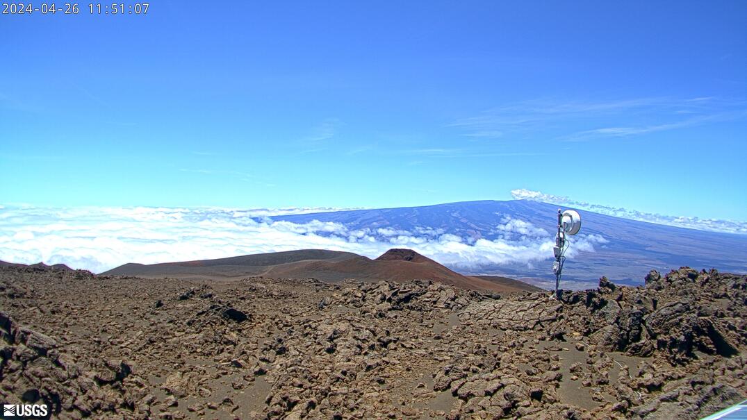
[MKcam]: Mauna Loa's Summit and Northeast Rift Zone from Mauna Kea
[MKcam]: Mauna Loa's Summit and Northeast Rift Zone from Mauna KeaLive Image of Mauna Loa's Summit and Northeast Rift Zone from Mauna Kea [MKcam].
[MKcam]: Mauna Loa's Summit and Northeast Rift Zone from Mauna Kea
[MKcam]: Mauna Loa's Summit and Northeast Rift Zone from Mauna KeaLive Image of Mauna Loa's Summit and Northeast Rift Zone from Mauna Kea [MKcam].

Marconi Beach video camera 1 dark image
Two video cameras are mounted on a bluff above Marconi Beach, Cape Cod National Seashore, Wellfleet, MA. Every half hour, the video cameras collect imagery for 10 minutes. This is the “dark” image, the darkest pixel values throughout the video, useful for tracking sediment plumes, tracking floating debris, and filtering out breaking waves.
Two video cameras are mounted on a bluff above Marconi Beach, Cape Cod National Seashore, Wellfleet, MA. Every half hour, the video cameras collect imagery for 10 minutes. This is the “dark” image, the darkest pixel values throughout the video, useful for tracking sediment plumes, tracking floating debris, and filtering out breaking waves.

Marconi Beach video camera 1 variance image
Two video cameras are mounted on a bluff above Marconi Beach, Cape Cod National Seashore, Wellfleet, MA. Every half hour, the video cameras collect imagery for 10 minutes.
Two video cameras are mounted on a bluff above Marconi Beach, Cape Cod National Seashore, Wellfleet, MA. Every half hour, the video cameras collect imagery for 10 minutes.

Marconi Beach video camera 2 dark image
Two video cameras are mounted on a bluff above Marconi Beach, Cape Cod National Seashore, Wellfleet, MA. Every half hour, the video cameras collect imagery for 10 minutes. This is the “dark” image, the darkest pixel values throughout the video, useful for tracking sediment plumes, tracking floating debris, and filtering out breaking waves.
Two video cameras are mounted on a bluff above Marconi Beach, Cape Cod National Seashore, Wellfleet, MA. Every half hour, the video cameras collect imagery for 10 minutes. This is the “dark” image, the darkest pixel values throughout the video, useful for tracking sediment plumes, tracking floating debris, and filtering out breaking waves.

Marconi Beach video camera 2 variance image
Two video cameras are mounted on a bluff above Marconi Beach, Cape Cod National Seashore, Wellfleet, MA. Every half hour, the video cameras collect imagery for 10 minutes.
Two video cameras are mounted on a bluff above Marconi Beach, Cape Cod National Seashore, Wellfleet, MA. Every half hour, the video cameras collect imagery for 10 minutes.

Marconi Beach video camera 1 bright image
Two video cameras are mounted on a bluff above Marconi Beach, Cape Cod National Seashore, Wellfleet, MA. Every half hour, the video cameras collect imagery for 10 minutes.
Two video cameras are mounted on a bluff above Marconi Beach, Cape Cod National Seashore, Wellfleet, MA. Every half hour, the video cameras collect imagery for 10 minutes.

Marconi Beach video camera 1 snapshot
Two video cameras are mounted on a bluff above Marconi Beach, Cape Cod National Seashore, Wellfleet, MA. Every half hour during daylight hours, the video camera collects imagery for 10 minutes and processes it. This is the snapshot image, like a photo, taken at the beginning of the 10-minute window and looking northeast.
Two video cameras are mounted on a bluff above Marconi Beach, Cape Cod National Seashore, Wellfleet, MA. Every half hour during daylight hours, the video camera collects imagery for 10 minutes and processes it. This is the snapshot image, like a photo, taken at the beginning of the 10-minute window and looking northeast.

Marconi Beach video camera 1 timex image
Two video cameras are mounted on a bluff above Marconi Beach, Cape Cod National Seashore, Wellfleet, MA. Every half hour, the video cameras collect imagery for 10 minutes.
Two video cameras are mounted on a bluff above Marconi Beach, Cape Cod National Seashore, Wellfleet, MA. Every half hour, the video cameras collect imagery for 10 minutes.

Marconi Beach video camera 2 bright image
Two video cameras are mounted on a bluff above Marconi Beach, Cape Cod National Seashore, Wellfleet, MA. Every half hour, the video cameras collect imagery for 10 minutes.
Two video cameras are mounted on a bluff above Marconi Beach, Cape Cod National Seashore, Wellfleet, MA. Every half hour, the video cameras collect imagery for 10 minutes.

Marconi Beach video camera 2 snapshot
Two video cameras are mounted on a bluff above Marconi Beach, Cape Cod National Seashore, Wellfleet, MA. Every half hour during daylight hours, the video camera collects imagery for 10 minutes and processes it. This is the snapshot image, like a photo, taken at the beginning of the 10-minute window and looking east.
Two video cameras are mounted on a bluff above Marconi Beach, Cape Cod National Seashore, Wellfleet, MA. Every half hour during daylight hours, the video camera collects imagery for 10 minutes and processes it. This is the snapshot image, like a photo, taken at the beginning of the 10-minute window and looking east.

Marconi Beach video camera 2 timex image
Two video cameras are mounted on a bluff above Marconi Beach, Cape Cod National Seashore, Wellfleet, MA. Every half hour, the video cameras collect imagery for 10 minutes.
Two video cameras are mounted on a bluff above Marconi Beach, Cape Cod National Seashore, Wellfleet, MA. Every half hour, the video cameras collect imagery for 10 minutes.
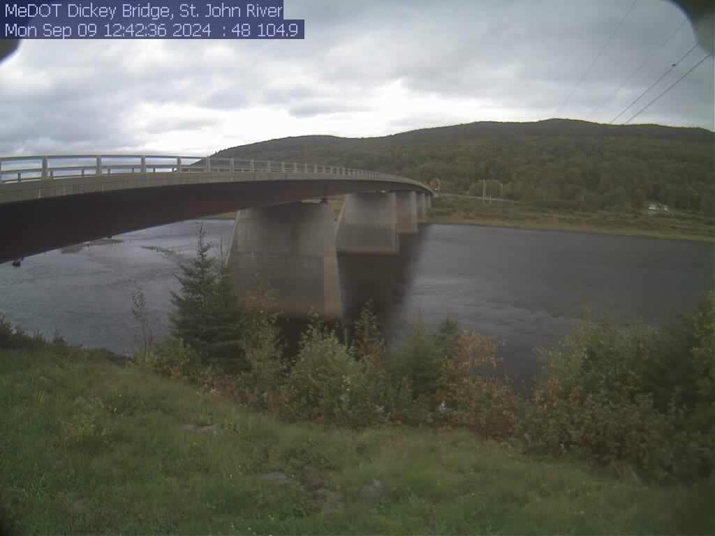
St. John River at Dickey, Maine (01037050)
View of the St. John River from the webcam located at St. John River at Dickey, Maine (01037050)
View of the St. John River from the webcam located at St. John River at Dickey, Maine (01037050)
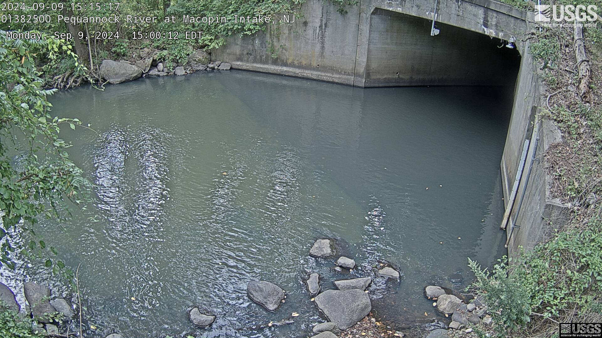
Streamgage 01382500 Pequannock R at Macopin Intake Dam, NJ
Streamgage 01382500 Pequannock R at Macopin Intake Dam, NJWebcam at USGS Streamgage 01382500 Pequannock River at Macopin Intake Dam, NJ
Visit Water Data For the Nation to get current data for this site.
Streamgage 01382500 Pequannock R at Macopin Intake Dam, NJ
Streamgage 01382500 Pequannock R at Macopin Intake Dam, NJWebcam at USGS Streamgage 01382500 Pequannock River at Macopin Intake Dam, NJ
Visit Water Data For the Nation to get current data for this site.
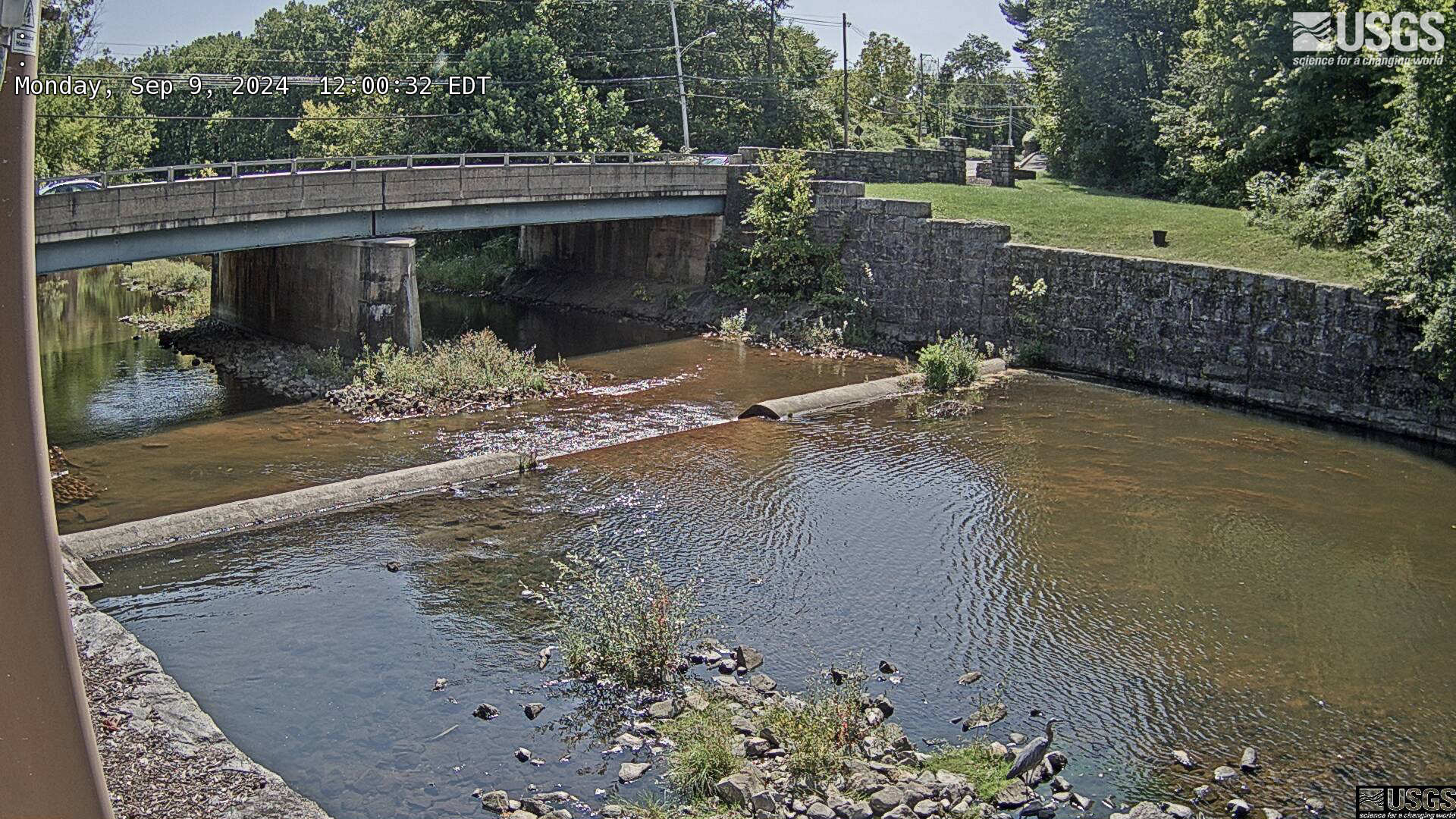
Streamgage 01387000 Wanaque River at Wanaque, NJ
Webcam at USGS Streamgage 01387000 Wanaque River at Wanaque, NJ.
Visit Water Data For the Nation to get current data for this site.
Webcam at USGS Streamgage 01387000 Wanaque River at Wanaque, NJ.
Visit Water Data For the Nation to get current data for this site.
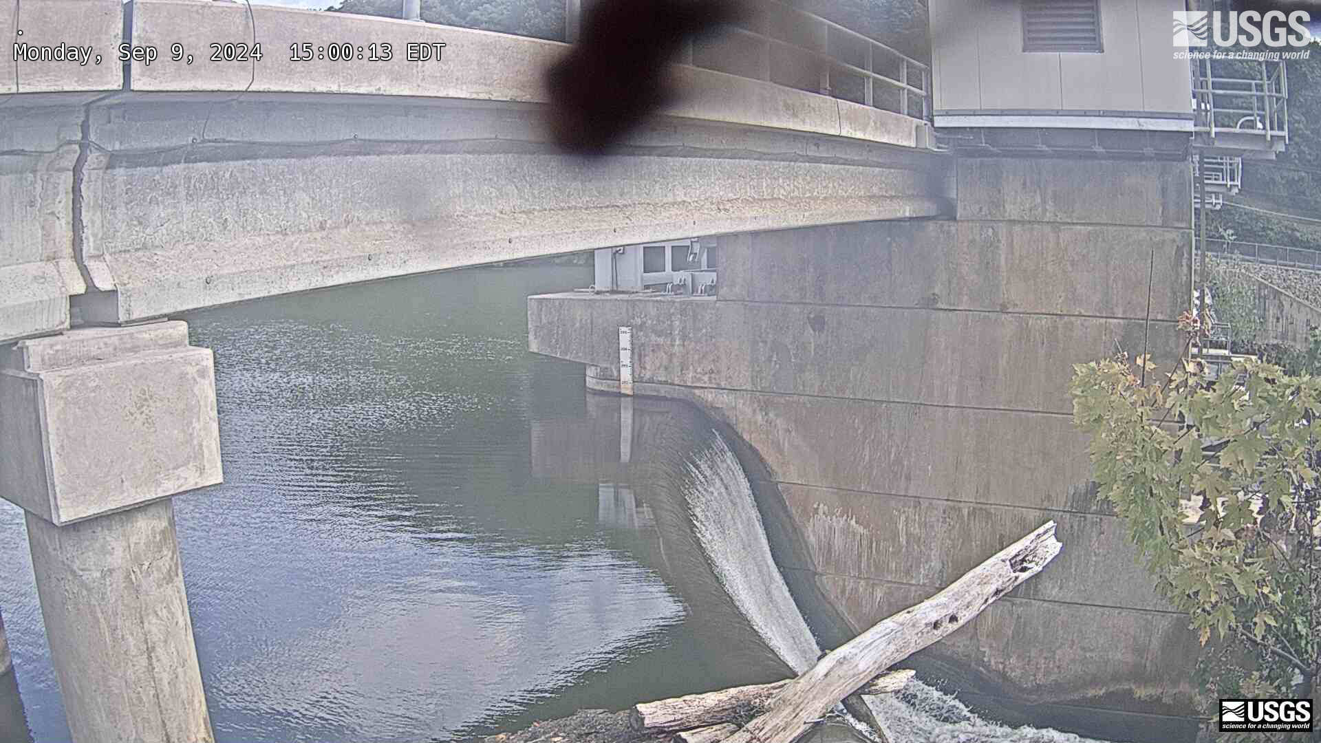
Streamgage 01387998 Ramapo R abv Dam at Pompton Lakes, NJ
Streamgage 01387998 Ramapo R abv Dam at Pompton Lakes, NJWebcam at USGS Streamgage 01387998 Ramapo River above Dam at Pompton Lakes, NJ
Streamgage 01387998 Ramapo R abv Dam at Pompton Lakes, NJ
Streamgage 01387998 Ramapo R abv Dam at Pompton Lakes, NJWebcam at USGS Streamgage 01387998 Ramapo River above Dam at Pompton Lakes, NJ
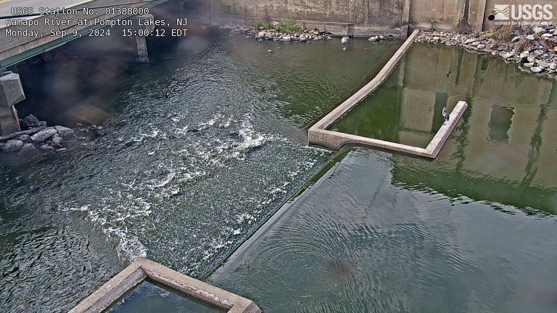
Streamgage 01388000 Ramapo River at Pompton Lakes, NJ
Streamgage 01388000 Ramapo River at Pompton Lakes, NJWebcam at USGS Streamgage 01388000 Ramapo River at Pompton Lakes, NJ
Visit Water Data For the Nation to get current data for this site.
Streamgage 01388000 Ramapo River at Pompton Lakes, NJ
Streamgage 01388000 Ramapo River at Pompton Lakes, NJWebcam at USGS Streamgage 01388000 Ramapo River at Pompton Lakes, NJ
Visit Water Data For the Nation to get current data for this site.
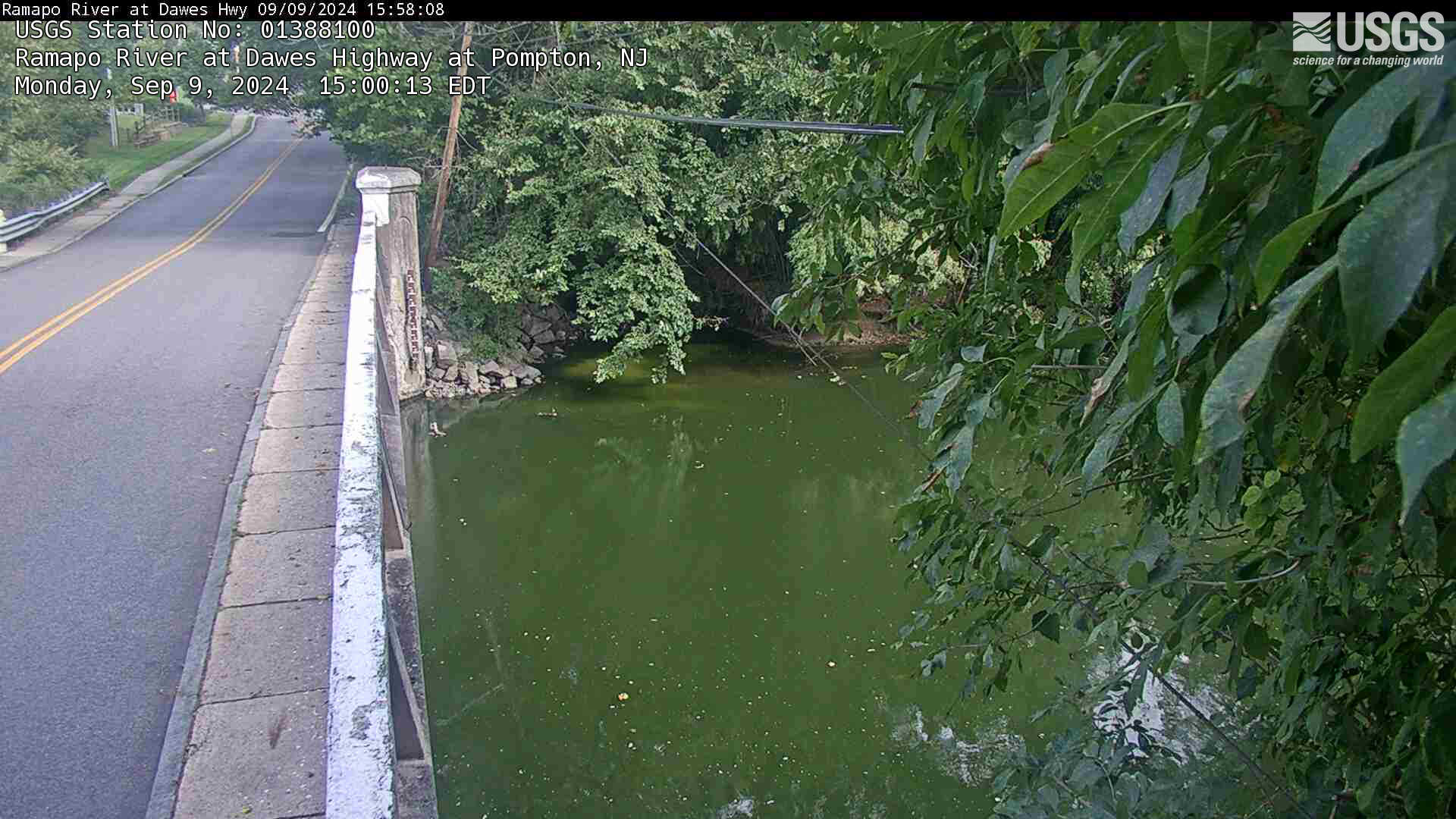
Streamgage 01388100 Ramapo River at Dawes Hwy at Pompton NJ
Streamgage 01388100 Ramapo River at Dawes Hwy at Pompton NJWebcam at USGS Streamgage 01388100 Ramapo River at Dawes Highway at Pompton NJ.
Streamgage 01388100 Ramapo River at Dawes Hwy at Pompton NJ
Streamgage 01388100 Ramapo River at Dawes Hwy at Pompton NJWebcam at USGS Streamgage 01388100 Ramapo River at Dawes Highway at Pompton NJ.