

A cisco
Images
Explore photos, graphics, and illustrations related to projects from across the CASC Network. And be sure to check out our Climate Illustrations page, featuring free-to-download illustrations that help describe tricky climate concepts and explain how climate change affects the world around us.
Filter Total Items: 639

Effect of aspect on post-fire vegetation recovery
This image taken at the site of the 2015 Soda Wildfire shows the effect of aspect on plant communities in the sagebrush steppe. Aspect refers to the direction in which a landform, like these hills, is oriented in relation to the sun's path across the sky.
This image taken at the site of the 2015 Soda Wildfire shows the effect of aspect on plant communities in the sagebrush steppe. Aspect refers to the direction in which a landform, like these hills, is oriented in relation to the sun's path across the sky.

Sagebrush steppe landscape at the site of the Soda Wildfire
Sagebrush steppe landscape at the site of the Soda WildfireThe sagebrush steppe of the western U.S., including the site of the 2015 Soda Wildfire pictured here, is vast and encompasses landscapes with variable elevation, weather, water availability, aspect, soil type, and more.

Red alder landscape
Looking out over a red alder forest with evergreen trees at Cascade Head Preserve in Oregon.
Looking out over a red alder forest with evergreen trees at Cascade Head Preserve in Oregon.
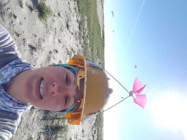
Annual tern census on Monomoy National Wildlife Refuge
Annual tern census on Monomoy National Wildlife RefugeAnnual tern census on Monomoy National Wildlife Refuge.
Annual tern census on Monomoy National Wildlife Refuge
Annual tern census on Monomoy National Wildlife RefugeAnnual tern census on Monomoy National Wildlife Refuge.

Pinyon pine near Glade Park, CO
Pinus edulis on a rocky outcrop near Colorado National Monument. Photo by Andreas Wion (USGS).
Pinus edulis on a rocky outcrop near Colorado National Monument. Photo by Andreas Wion (USGS).

Volcanoes, Landslides, and Angry Gods—A Pacific Northwest Connection
Volcanoes, Landslides, and Angry Gods—A Pacific Northwest ConnectionView of headscarp of Red Bluffs landslide (adjacent to the Bonneville landslide), looking northwest and showing the bedded volcaniclastic sediments (gray layers) that are dipping about 7 degrees toward the viewer and in which sliding has occurred. The slightly darker gray and orange-brown unit in the top quarter of the scarp face is Columbia River Basalt.

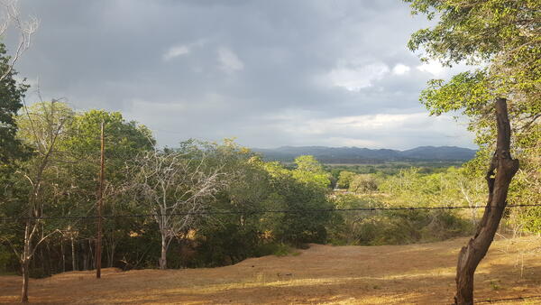
Indian Paintbrush in front of the Rio Chama in New Mexico
Indian Paintbrush in front of the Rio Chama in New MexicoThis photo was taken during a routine site visit to measure streamflow on the Rio Chama in New Mexico.
Indian Paintbrush in front of the Rio Chama in New Mexico
Indian Paintbrush in front of the Rio Chama in New MexicoThis photo was taken during a routine site visit to measure streamflow on the Rio Chama in New Mexico.
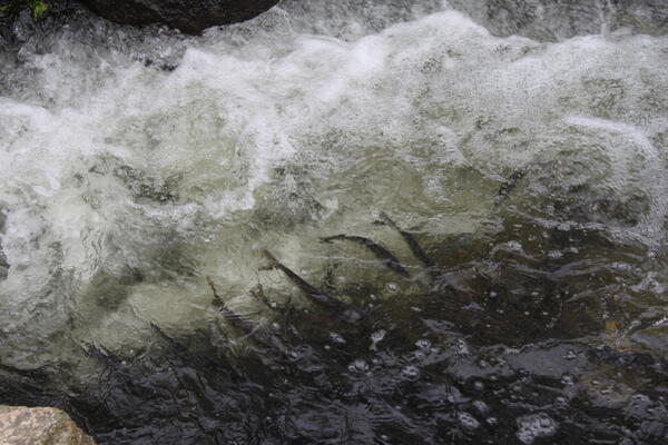
Adult alewife spring spawning migration at Stony Brook River, MA
Adult alewife spring spawning migration at Stony Brook River, MAAdult alewife spring spawning migration at Stony Brook River in Brewster, Massachusetts. Credit: Michelle Staudinger
Adult alewife spring spawning migration at Stony Brook River, MA
Adult alewife spring spawning migration at Stony Brook River, MAAdult alewife spring spawning migration at Stony Brook River in Brewster, Massachusetts. Credit: Michelle Staudinger
Dry Forest in Guanica
Dry Forest in southern Puerto Rico (Guánica municipality). Climate change is projected to make dry landscapes such as these even drier.
Dry Forest in southern Puerto Rico (Guánica municipality). Climate change is projected to make dry landscapes such as these even drier.

Invasive Aquatic Vegetation, Sacramento-San Joaquin Delta
Invasive Aquatic Vegetation, Sacramento-San Joaquin DeltaInvasive aquatic vegetation chokes Lindsey Slough, creating a potentially challenging environment for fish and other aquatic life. The slough is the site of a 2014 restoration project in the Sacramento-San Joaquin Delta to improve freshwater tidal marsh and spawning habitat for Delta smelt and other fish.

Native and invasive plants in desert southwest.
Native and invasive plants in desert southwest.
Native and invasive plants in desert southwest.

Wave runup at Madeira Beach Florida during a storm
Wave runup at Madeira Beach Florida during a stormWave runup at Madeira Beach, Florida, during Tropical Storm Colin
Wave runup at Madeira Beach Florida during a storm
Wave runup at Madeira Beach Florida during a stormWave runup at Madeira Beach, Florida, during Tropical Storm Colin

A USGS researcher gathers elevation data from an eroding coastal bluff in Arctic Alaska
A USGS researcher gathers elevation data from an eroding coastal bluff in Arctic AlaskaA USGS researcher gathers elevation data from an eroding coastal bluff in Arctic Alaska
A USGS researcher gathers elevation data from an eroding coastal bluff in Arctic Alaska
A USGS researcher gathers elevation data from an eroding coastal bluff in Arctic AlaskaA USGS researcher gathers elevation data from an eroding coastal bluff in Arctic Alaska

Alaska Interior Mountain Range
Alaska Interior mountain range shot with snow capped mountains.
Alaska Interior mountain range shot with snow capped mountains.

Chaco Culture National Historical Park, New Mexico.
Chaco Culture National Historical Park, New Mexico.Chaco Culture National Historical Park, New Mexico.
Chaco Culture National Historical Park, New Mexico.
Chaco Culture National Historical Park, New Mexico.Chaco Culture National Historical Park, New Mexico.

Adam Terando - American Geophysical Union, Fall 2016
Adam Terando - American Geophysical Union, Fall 2016Adam Terando (right) and his colleagues from left to right, Dr. Azad Henareh, Dr. Jared Bowden, Ms. Sarah Grade, at the American Geophysical Union conference in the Fall of 2016.
Adam Terando - American Geophysical Union, Fall 2016
Adam Terando - American Geophysical Union, Fall 2016Adam Terando (right) and his colleagues from left to right, Dr. Azad Henareh, Dr. Jared Bowden, Ms. Sarah Grade, at the American Geophysical Union conference in the Fall of 2016.
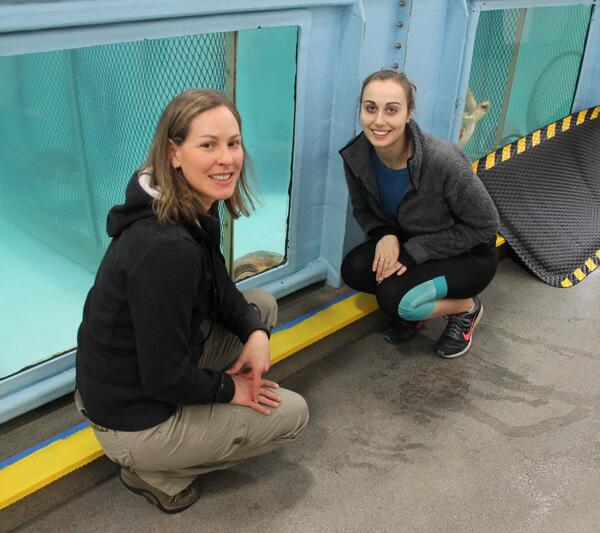
Michelle Staudinger at the New England Aquarium
Staudinger and UMass Amherst undergraduate honors student (Gabrielle (Mila) Calandrino) at the New England Aquarium sea turtle rehabilitation center.
Staudinger and UMass Amherst undergraduate honors student (Gabrielle (Mila) Calandrino) at the New England Aquarium sea turtle rehabilitation center.

Rio Chama above Abiquiu Dam
Snowy road on the way to Rio Chama above Abiquiu Dam (08286500)
Snowy road on the way to Rio Chama above Abiquiu Dam (08286500)

Lush thicket of Staghorn Coral in the Dry Tortugas National Park
Lush thicket of Staghorn Coral in the Dry Tortugas National ParkLush thicket of staghorn coral in the Dry Tortugas National Park
Lush thicket of Staghorn Coral in the Dry Tortugas National Park
Lush thicket of Staghorn Coral in the Dry Tortugas National ParkLush thicket of staghorn coral in the Dry Tortugas National Park

Shepaug River Peter's Dam gage pool
Autumnal reflection in the Shepaug River Peter's Dam gage pool looking upstream at the dam with the gage in view (site 01202501 at Woodville, CT). The blue sky and Autumn leaves cast a reflection in the gage pool.
Autumnal reflection in the Shepaug River Peter's Dam gage pool looking upstream at the dam with the gage in view (site 01202501 at Woodville, CT). The blue sky and Autumn leaves cast a reflection in the gage pool.