A seasonal wetland engineered to have a deeper and shallow pool
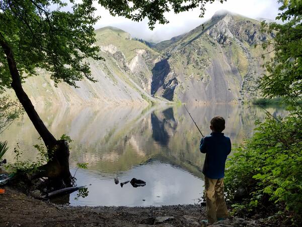
A seasonal wetland engineered to have a deeper and shallow poolA three year study was conducted in seasonal wetlands to determine if a deep and shallow water pool resulted in a reduction of methylmercury in caged fish and surface water.