
David S Pilliod
My research focuses on species conservation, habitat management, and effectiveness of restoration in a variety of terrestrial and aquatic ecosystems. I also co-lead the Pacific Northwest Environmental DNA Laboratory.
Research and Lab Websites
Decision Support Tools
I lead a team of scientists that develop tools and models to improve understanding of ecological systems and solve challenging problems in natural resource management. We primarily address questions related to species conservation, wildlife habitat, and restoration. We combine molecular methods, remote sensing, field studies, and statistical modeling. Our research team also develops data management and decision support systems to facilitate adaptive management, such as the Land Treatment Digital Library and Land Treatment Exploration Tool. We primarily work on issues affecting the Intermountain West and Great Basin regions of the U.S.
Science and Products
Wildlife Ecology and Habitat Restoration Team
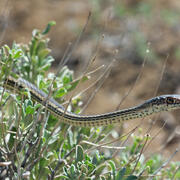
Species Conservation

Project ROAM

Proof of concept airborne eDNA testing to detect invasive species in shipping containers

Fuel Break Science in the Great Basin

Systematic Review and Analysis of Seeding and Herbicide Treatment in the Sagebrush Steppe

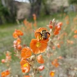
Using Pollinator Environmental DNA to Assess the Ecological Resilience of America’s Grasslands
Science and Products
Wildlife Ecology and Habitat Restoration Team
Species Conservation
Project ROAM
Proof of concept airborne eDNA testing to detect invasive species in shipping containers
Fuel Break Science in the Great Basin
Systematic Review and Analysis of Seeding and Herbicide Treatment in the Sagebrush Steppe