Hazy conditions caused by sulfur dioxide emissions from Kīlauea, Hawai‘i
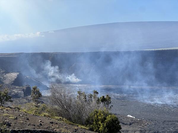
Hazy conditions caused by sulfur dioxide emissions from Kīlauea, Hawai‘iHazy conditions caused by sulfur dioxide (SO2) emissions from Halema‘uma‘u crater, Kīlauea, Hawai‘i. USGS photo by Jennifer Lewicki, December 25, 2024.