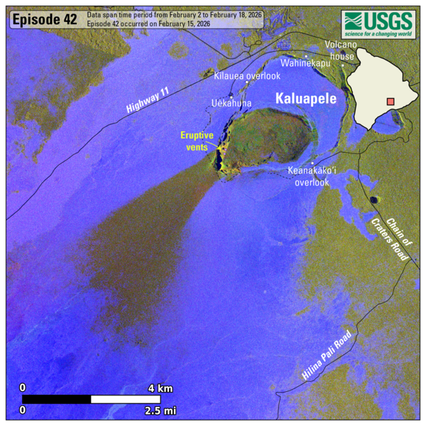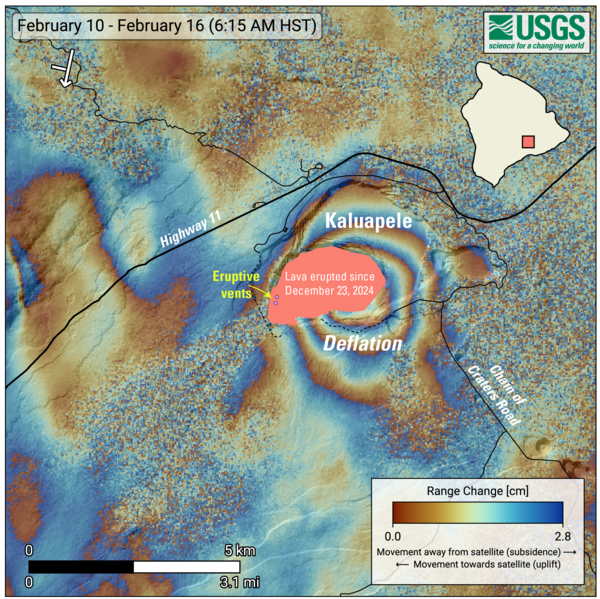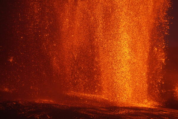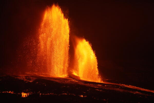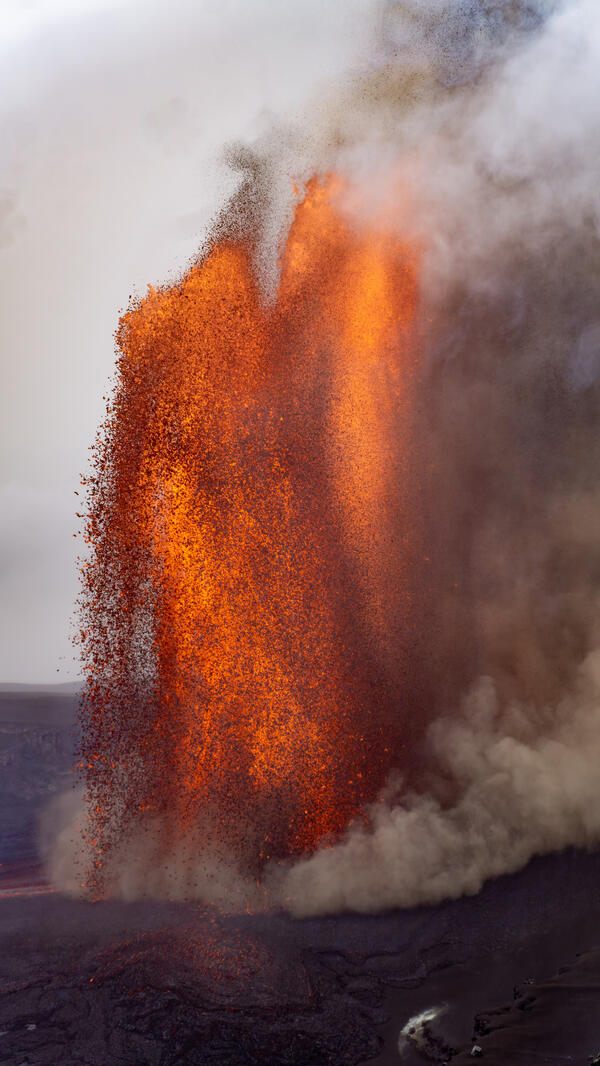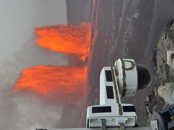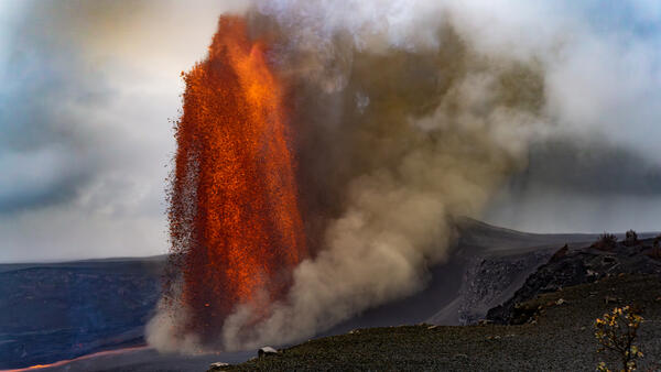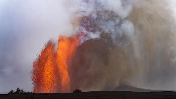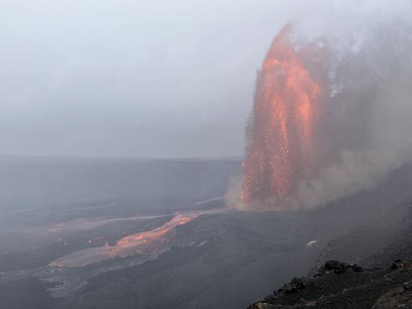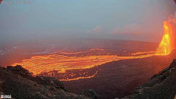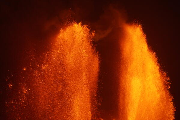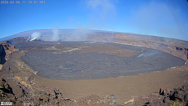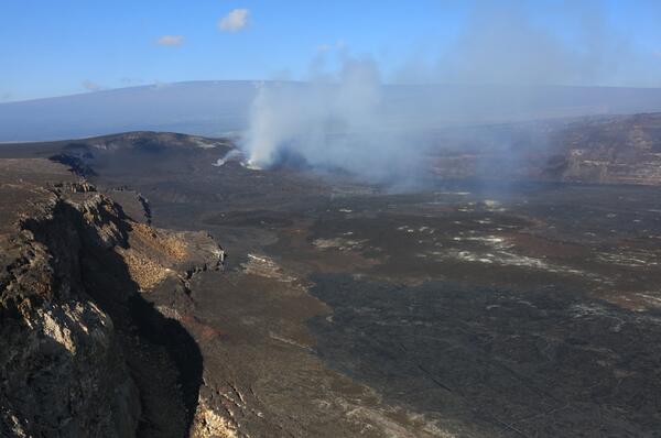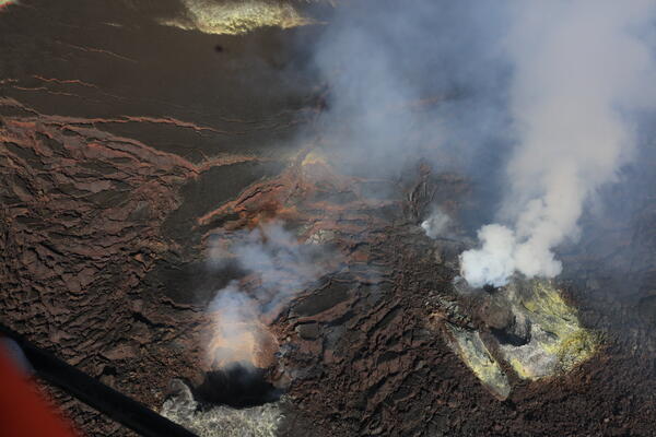
February 26, 2026 — Halemaʻumaʻu overflight, Kīlauea summit
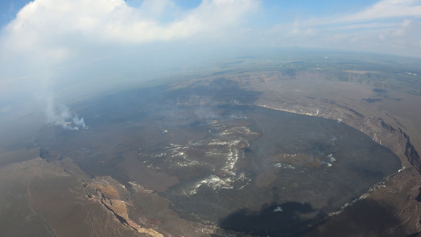
February 26, 2026 — Halemaʻumaʻu overflight, Kīlauea summitUSGS Hawaiian Volcano Observatory (HVO) geologists on a routine KILAUEA summit monitoring helicopter overflight on Thursday, February 26, collected visual and thermal images to map out the changes on the crater floor following episode 42 lava fountaining at KILAUEA summit that took place on February 15, 2026.