routine inspection of a UAS system prior to a flight
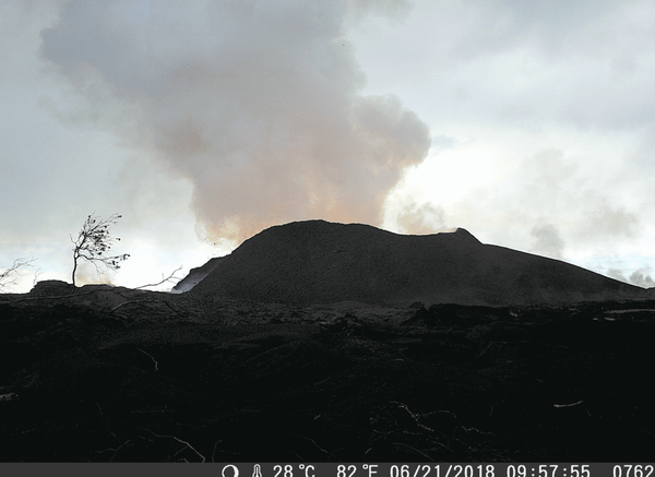
routine inspection of a UAS system prior to a flightTwo U.S. Geological Survey Unmanned Aircraft Systems (UAS) pilots perform a routine inspection of a UAS system prior to a flight at the summit of Kīlauea Volcano in June 2018. The UAS for this particular flight was outfitted with a multi-gas sensor to identify any new degassing sources within the collapsing summit caldera.