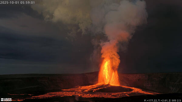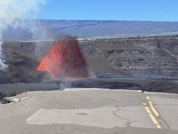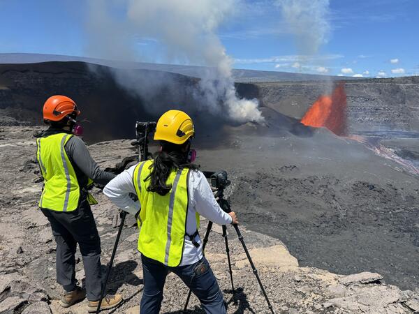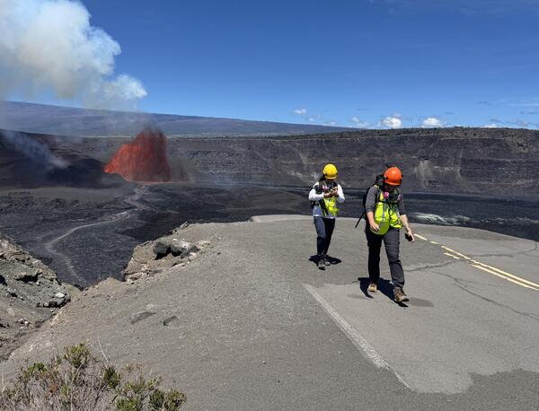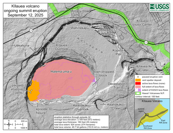
October 18, 2025 — Kīlauea summit eruption episode 35
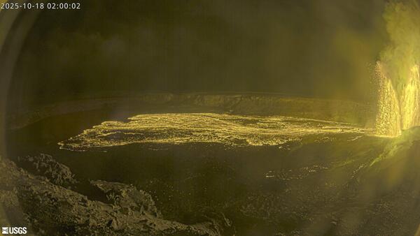
October 18, 2025 — Kīlauea summit eruption episode 35This image, captured by the USGS Hawaiian Volcano Observatory KWcam, shows lava fountains erupting during episode 35 of the Kīlauea summit eruption. Dual lava fountains within Halemaʻumaʻu crater feed lava flows on the crater floor. USGS webcam image taken on October 18, 2025.