Benchmark T366, north of Canyon Junction in Yellowstone National Park
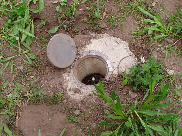
Benchmark T366, north of Canyon Junction in Yellowstone National ParkBenchmark T366, was installed in 1987 a few miles north of Canyon Junction in Yellowstone National Park. Rather than being a brass or aluminum disk, the benchmark is a rod that was driven into the ground until it would not sink any lower. The precise elevation of the top of the rod was established by surveying methods, and an access cover flush with the g