National Land Cover Database (NLCD) 2021: Conterminous U.S. Land Cover
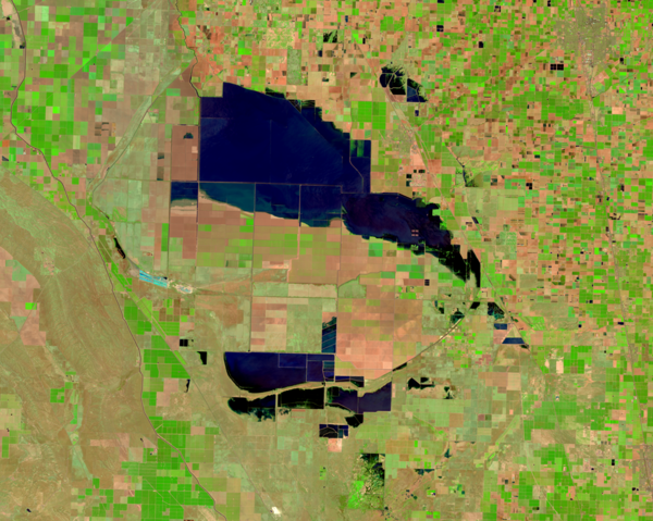
National Land Cover Database (NLCD) 2021: Conterminous U.S. Land CoverMap of the Conterminous U.S. showing the Land Cover layer from the NLCD 2021.
Learn more about NLCD at www.usgs.gov/centers/eros/science/national-land-cover-database