Installing a soil temperature and moisture monitoring station
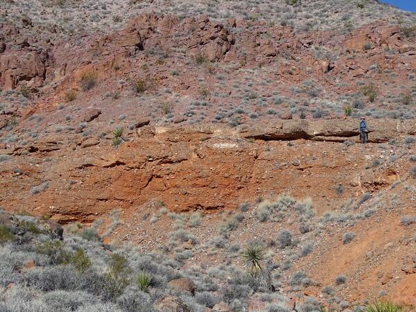
Installing a soil temperature and moisture monitoring stationResearch Geologist Adam Hudson installs a soil temperature and moisture monitoring station for a topographic asymmetry study in the Great Sand Dunes National Park and Preserve (Sangre de Cristo Mountains, Colorado, USA).