
Floods and Droughts
The Upper Midwest Water Science Center has a network of over 580 active streamgages expanding Michigan, Minnesota, and Wisconsin that provide data on stream conditions. We use this information to track floods (usually caused by slow-moving summer thunderstorms, rapid snowmelt due to rainfall, or winter ice jams) and droughts (associated with abnormal weather patterns or climate change). We also collect data on sediment erosion, transport, and deposition, which allows us to study the physical processes behind stream channels and floodplains. This, in turn, informs our ability to evaluate stream restoration or erosion-control techniques, land conservation practices, and aquatic habitat improvements. We use hydraulic modeling and flooding inundation mapping to support flood preparedness, emergency response, emergency recovery, mitigation and planning, and environmental and ecological assessment.

Bad River Watershed Assessments

Evaluating the impacts of aircraft deicers in runoff from General Mitchell International Airport, Milwaukee, Wis.

Milwaukee Metropolitan Sewerage District (MMSD) Watercourse Corridor Study

MMSD Watercourse Corridor Study: Continuous Real-Time Streamflow

Assessing stormwater reduction through green infrastructure: RecoveryPark (Detroit, Mich.)
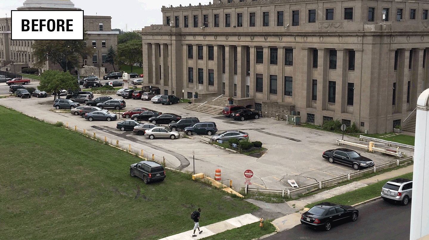
Assessing stormwater reduction using green infrastructure: Gary City Hall (Gary, Ind.)

Monitoring and predicting the impacts of trees on urban stormwater volume reduction

Groundwater monitoring and research

GLRI Urban Stormwater Monitoring

Ecoflows: Developing Indices of Streamflow Alteration

Fluvial geomorphology studies
