
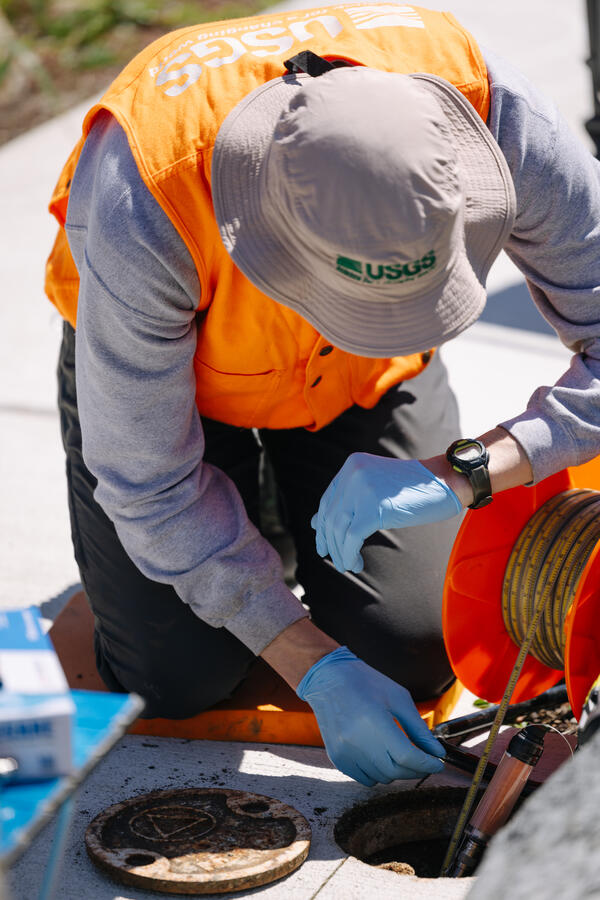
USGS scientists access a flush-mounted well to measure the groundwater-level.
Images
Below are images associated with the Washington Water Science Center's science and staff. Images appear according to the year they were taken. To search, type a keyword or select a year from the dropdown menu. Or, click through the pages using the arrows at the bottom of the page.
Filter Total Items: 254
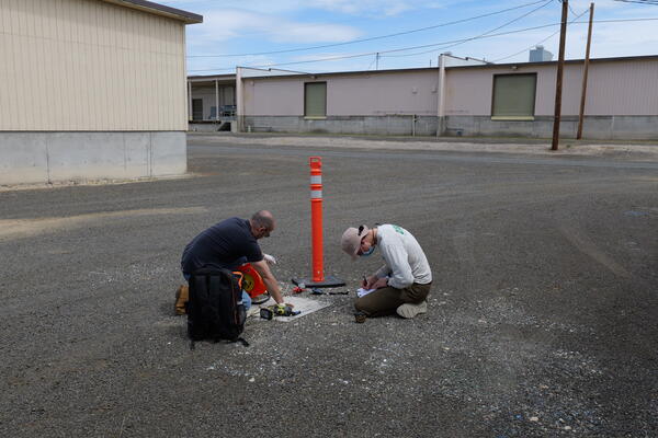
Measuring groundwater-level in a well
USGS scientists access a flush-mounted well to measure the groundwater-level.
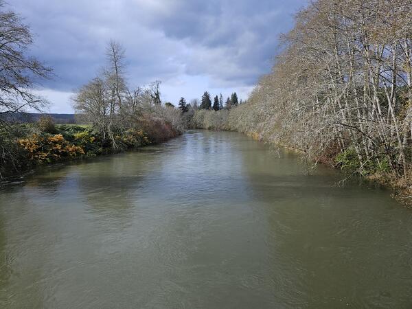
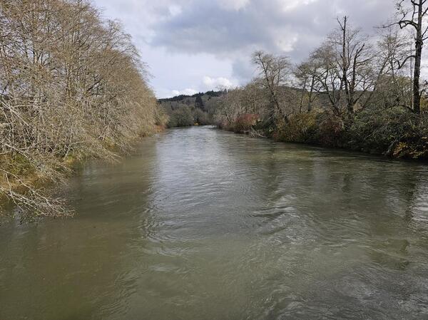
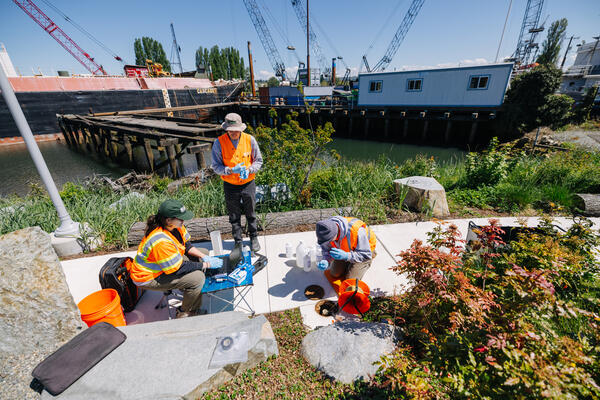
Duwamish River, WA
The USGS monitors streamflow and sediment at Duwamish River at Golf Course at Tukwila, WA.
The USGS monitors streamflow and sediment at Duwamish River at Golf Course at Tukwila, WA.
USGS Streamgage - Similkameen River Near Nighthawk
USGS Streamgage - Similkameen River Near NighthawkThe USGS monitors streamflow and water quality at the Similkameen River Near Nighthawk, WA (12442500).
USGS Streamgage - Similkameen River Near Nighthawk
USGS Streamgage - Similkameen River Near NighthawkThe USGS monitors streamflow and water quality at the Similkameen River Near Nighthawk, WA (12442500).

Cedar River, WA streamflow measurement
A USGS hydrologic technician measures streamflow in the Cedar River, WA as part of a series of bathymetric, hydrometric, and sediment surveys in this area. The surveys will be used to understand the potential impacts of reservoir operations on bull trout spawning habitat in the Cedar River.
A USGS hydrologic technician measures streamflow in the Cedar River, WA as part of a series of bathymetric, hydrometric, and sediment surveys in this area. The surveys will be used to understand the potential impacts of reservoir operations on bull trout spawning habitat in the Cedar River.

Gravel bar, Cedar River, WA
A gravel bar is exposed next to the Cedar River, WA. Bull trout spawn in this river and their egg nests require suitable habitat and water quality to thrive.
A gravel bar is exposed next to the Cedar River, WA. Bull trout spawn in this river and their egg nests require suitable habitat and water quality to thrive.
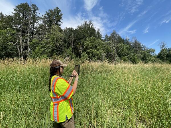
Collecting streamflow information at Scatter Creek, WA
Collecting streamflow information at Scatter Creek, WAA USGS field technician collects data near Scatter Creek, WA. Scientists are researching where and when streams go dry in this basin. Field observations, including photographs, help determine when streams are flowing or dry.
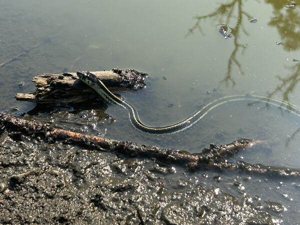
Garter snake in Washington stream
A garter snake swims in a stream in the Scatter Creek watershed, Washington. The USGS is studying surface and groundwater interactions in this basin where streams sometimes run dry. This information will help land, water, and wildlife managers.
A garter snake swims in a stream in the Scatter Creek watershed, Washington. The USGS is studying surface and groundwater interactions in this basin where streams sometimes run dry. This information will help land, water, and wildlife managers.
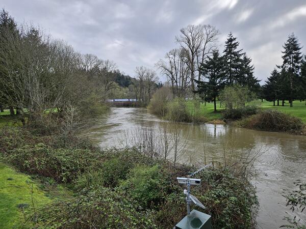
Chehalis River, WA
Chehalis River storm waters receded. The green-blue water color indicates a lower sediment concentration.
Chehalis River storm waters receded. The green-blue water color indicates a lower sediment concentration.
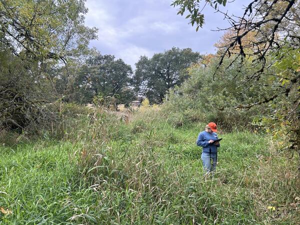
Technician collects streamflow information at Scatter Creek, WA
Technician collects streamflow information at Scatter Creek, WAA USGS field technician collects data near Scatter Creek, WA. Scientists are researching where and when streams go dry in this basin. Field observations, including photographs, help determine when streams are flowing or dry.
Chehalis River in rainstorm
Chehalis River during a winter rainstorm. The brown water indicates a higher sediment concentration.
Chehalis River during a winter rainstorm. The brown water indicates a higher sediment concentration.

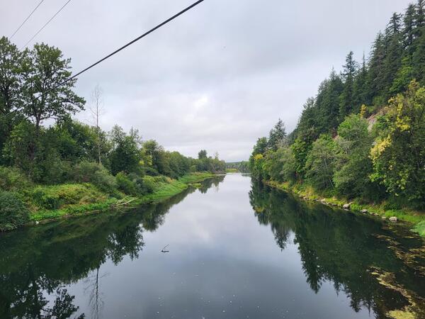
Quillayute River
The Quillayute River drains the Olympic Mountains in Washington State. The river and its tributaries provide habitat for several salmon species.
The Quillayute River drains the Olympic Mountains in Washington State. The river and its tributaries provide habitat for several salmon species.
Suspended Sediment in the Wynoochee River, WA
The Wynoochee River turns dark with suspended sediment near the USGS streamgage at Wynoochee River Above Black Creek NR Montesano, WA. The USGS monitored sediment in the Chehalis Basin to better und
The Wynoochee River turns dark with suspended sediment near the USGS streamgage at Wynoochee River Above Black Creek NR Montesano, WA. The USGS monitored sediment in the Chehalis Basin to better und
High turbidity in the Wynoochee River, WA
The Wynoochee River turns a darker color during periods of high sediment transport. The USGS monitored sediment transport in the Chehalis watershed.
The Wynoochee River turns a darker color during periods of high sediment transport. The USGS monitored sediment transport in the Chehalis watershed.
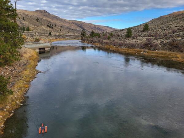
Measuring Streamflow at Similkameen River Near Nighthawk, WA
Measuring Streamflow at Similkameen River Near Nighthawk, WAThe USGS monitors streamflow and water quality at the Similkameen River Near Nighthawk, WA (12442500). Technicians measure streamflow using ADCPs - the small orange boat pictured.
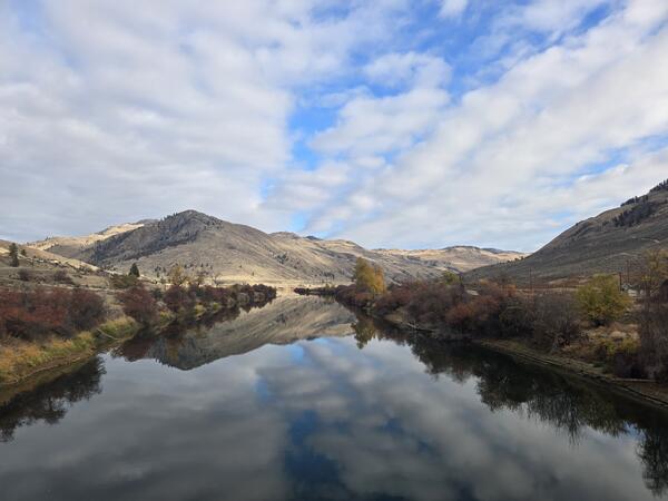
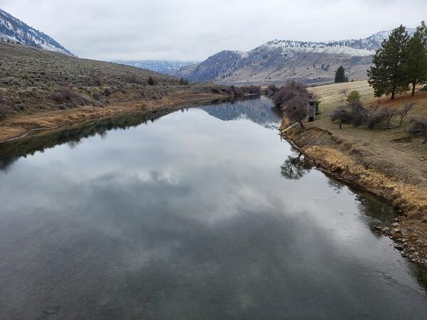
Similkameen River, WA
The Similkameen River flows through north-central Washington. The USGS monitors flow and water quality at multiple locations along its length.
The Similkameen River flows through north-central Washington. The USGS monitors flow and water quality at multiple locations along its length.
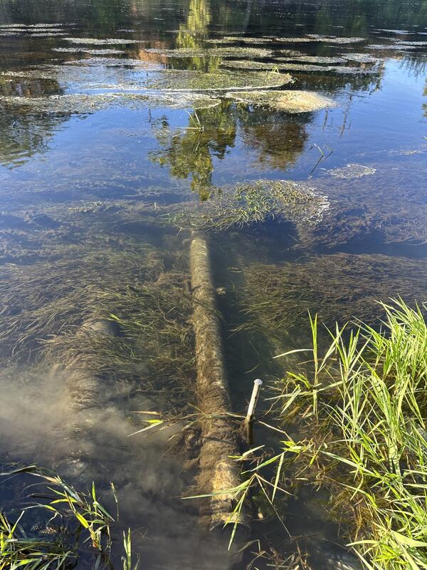
Monitoring water quality in the Yakima River
A pipe protects equipment used by the USGS to monitor water quality in the lower Yakima River. A dusting of sediment and clumps of aquatic plants demonstrate the water quality challenges faced in this river.
A pipe protects equipment used by the USGS to monitor water quality in the lower Yakima River. A dusting of sediment and clumps of aquatic plants demonstrate the water quality challenges faced in this river.
South Fork Nooksack River
The South Fork Nooksack River at USGS Station 12210485. Real-time data are available at: South Fork Nooksack River Above Potter Bridge at Van Zandt, WA.
The South Fork Nooksack River at USGS Station 12210485. Real-time data are available at: South Fork Nooksack River Above Potter Bridge at Van Zandt, WA.

South Fork Tolt River, WA
Water flows around boulders and large wood in the South Fork Tolt River, WA.
Access water data: South Fork Tolt River Near Carnation, WA.
Water flows around boulders and large wood in the South Fork Tolt River, WA.
Access water data: South Fork Tolt River Near Carnation, WA.

Green River, Washington
The USGS monitors streamflow at the Green River at Purification Plant Near Palmer, WA.
The USGS monitors streamflow at the Green River at Purification Plant Near Palmer, WA.
Measuring groundwater in South Park, Seattle, WA
USGS scientists measure groundwater properties from a well located in South Park, Seattle, WA.
USGS scientists measure groundwater properties from a well located in South Park, Seattle, WA.
Measuring groundwater level in well
A USGS scientist reads the time while measuring the depth to water in a groundwater well.
A USGS scientist reads the time while measuring the depth to water in a groundwater well.