Evaluating the Fate of Methane Released into Streams
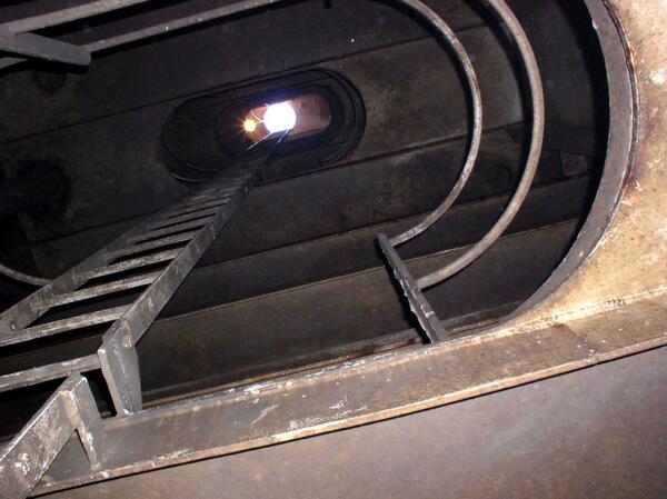
Evaluating the Fate of Methane Released into StreamsScientists apply a new method for determining the fate of methane discharged into streams. Here, gas is injected into stream water along West Bear Creek, North Carolina.