USGS scientists coordinate the rescue of over 60 sea turtles in cold weather snap
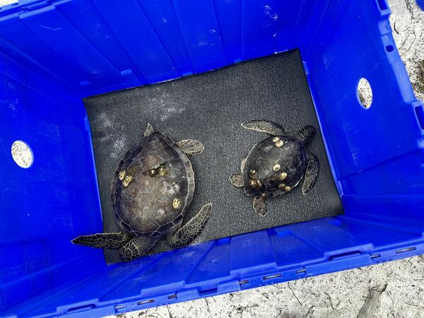
USGS scientists coordinate the rescue of over 60 sea turtles in cold weather snapCold-stunned green sea turtles rescued from fatal water temperatures in St. Joseph Bay, Florida by U.S. Geological Survey staff members are held temporarily in a crate before being transferred to Gulf World Marine Institute for rehabilitation and medical treatment January 23, 2024.