
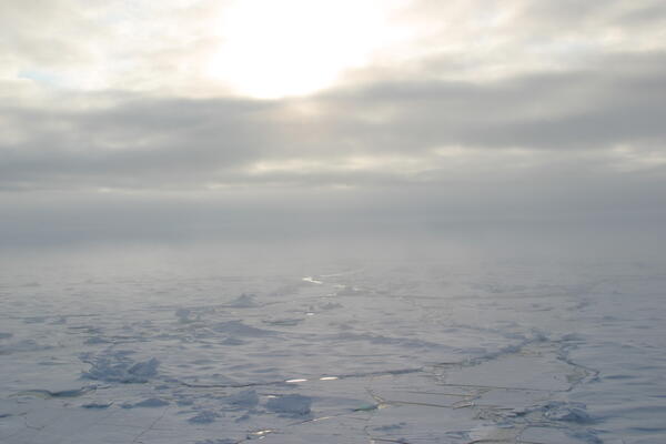
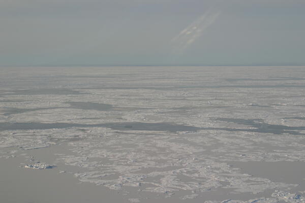
Image of sea ice along the Arctic Ocean.
Images
Images
Filter Total Items: 9448

Arctic Sea Ice
Image of sea ice along the Arctic Ocean.
Arctic Sea Ice
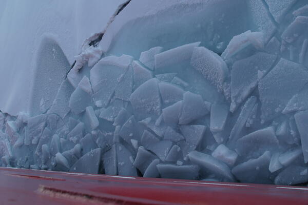
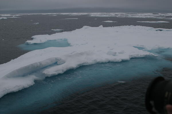
Image of Arctic sea ice.

Arctic Sea Ice
Image of sea ice along the Arctic Ocean.
Image of sea ice along the Arctic Ocean.

Arctic Sea Ice
Image of Arctic sea ice.
Arctic Sea Ice
Image of Arctic sea ice.
Arctic Sea Ice
Image of Arctic sea ice.
Arctic Sea Ice
Image of Arctic sea ice.

Sunset Over Arctic Ocean
Sunset over sea ice along the Arctic Ocean.
Sunset over sea ice along the Arctic Ocean.

Discussing Arctic Seismic Data
USGS scientists Ellyn Montgomery and William Danforth discuss incoming data. This was during a scientific expedition to map the Arctic seafloor.
USGS scientists Ellyn Montgomery and William Danforth discuss incoming data. This was during a scientific expedition to map the Arctic seafloor.

Measuring Sound Speed with an XBT
A U.S. Coast Guard member is preparing to launch an Expendable Bathythermograph (XBT) to help calculate the speed of sound in the ocean. The launcher sends a probe into the water to measure depth and temperature variation below the ship. There is a copper wire attached to both the launcher and the probe.
A U.S. Coast Guard member is preparing to launch an Expendable Bathythermograph (XBT) to help calculate the speed of sound in the ocean. The launcher sends a probe into the water to measure depth and temperature variation below the ship. There is a copper wire attached to both the launcher and the probe.

Picturing Arctic Sea Ice
Two U.S. Coast Guard members are taking pictures of Arctic sea ice. They were lowered down from the U.S. Coast Guard Cutter Healy during an expedition to map the Arctic seafloor.
Two U.S. Coast Guard members are taking pictures of Arctic sea ice. They were lowered down from the U.S. Coast Guard Cutter Healy during an expedition to map the Arctic seafloor.

U.S. and Canadian Ships in Arctic Ocean
Helicopter view of Canadian Coast Guard Ship Louis S. St. Laurent (top) and U.S. Coast Guard Cutter Healy (bottom) on the Arctic Ocean. The ships are coming together because the crews are planning to meet and learn the operations of the other ship. This was during a scientific expedition to map the Arctic seafloor.
Helicopter view of Canadian Coast Guard Ship Louis S. St. Laurent (top) and U.S. Coast Guard Cutter Healy (bottom) on the Arctic Ocean. The ships are coming together because the crews are planning to meet and learn the operations of the other ship. This was during a scientific expedition to map the Arctic seafloor.

U.S. and Canadian Ships in Arctic Ocean
Helicopter view of Canadian Coast Guard Ship Louis S. St. Laurent (top) and U.S. Coast Guard Cutter Healy (bottom) on the Arctic Ocean. Louis is approaching Healy to come alongside it. The ships are coming together because the crews are planning to meet and learn the operations of the other ship.
Helicopter view of Canadian Coast Guard Ship Louis S. St. Laurent (top) and U.S. Coast Guard Cutter Healy (bottom) on the Arctic Ocean. Louis is approaching Healy to come alongside it. The ships are coming together because the crews are planning to meet and learn the operations of the other ship.

U.S. and Canadian Ships in Arctic Ocean
Helicopter view of Canadian Coast Guard Ship Louis S. St. Laurent (top) and U.S. Coast Guard Cutter Healy (bottom) on the Arctic Ocean. This was during a scientific expedition to map the Arctic seafloor.
Helicopter view of Canadian Coast Guard Ship Louis S. St. Laurent (top) and U.S. Coast Guard Cutter Healy (bottom) on the Arctic Ocean. This was during a scientific expedition to map the Arctic seafloor.

U.S. and Canadian Ships in Arctic Ocean
Helicopter view of Canadian Coast Guard Ship Louis S. St. Laurent (left) and U.S. Coast Guard Cutter Healy (right) on the Arctic Ocean. The ships are coming together because the crews are planning to meet and learn the operations of the other ship. This was during a scientific expedition to map the Arctic seafloor.
Helicopter view of Canadian Coast Guard Ship Louis S. St. Laurent (left) and U.S. Coast Guard Cutter Healy (right) on the Arctic Ocean. The ships are coming together because the crews are planning to meet and learn the operations of the other ship. This was during a scientific expedition to map the Arctic seafloor.

Computer Lab
USGS geologists Peter Triezenberg and William Danforth sit with WHOI/LDEO Computer Technician Tom Bolmer in the Healy computer lab.
This was during a scientific expedition to map the Arctic seafloor.
USGS geologists Peter Triezenberg and William Danforth sit with WHOI/LDEO Computer Technician Tom Bolmer in the Healy computer lab.
This was during a scientific expedition to map the Arctic seafloor.

Helicopter Rescue Men
U.S. Coast Guard rescue men waiting for the Canadian helicopter to land on U.S. Coast Guard Cutter Healy. This was during a scientific expedition to map the Arctic seafloor.
U.S. Coast Guard rescue men waiting for the Canadian helicopter to land on U.S. Coast Guard Cutter Healy. This was during a scientific expedition to map the Arctic seafloor.

Computer Lab on Healy
USGS scientists Ellyn Montgomery and William Danforth discuss incoming data in a computer lab on U.S. Coast Guard Cutter Healy. This was during a scientific expedition to map the Arctic seafloor.
USGS scientists Ellyn Montgomery and William Danforth discuss incoming data in a computer lab on U.S. Coast Guard Cutter Healy. This was during a scientific expedition to map the Arctic seafloor.

Little Missouri River at Medora
Little Missouri River at Medora, North Dakota, with the badlands in the background.
Little Missouri River at Medora, North Dakota, with the badlands in the background.
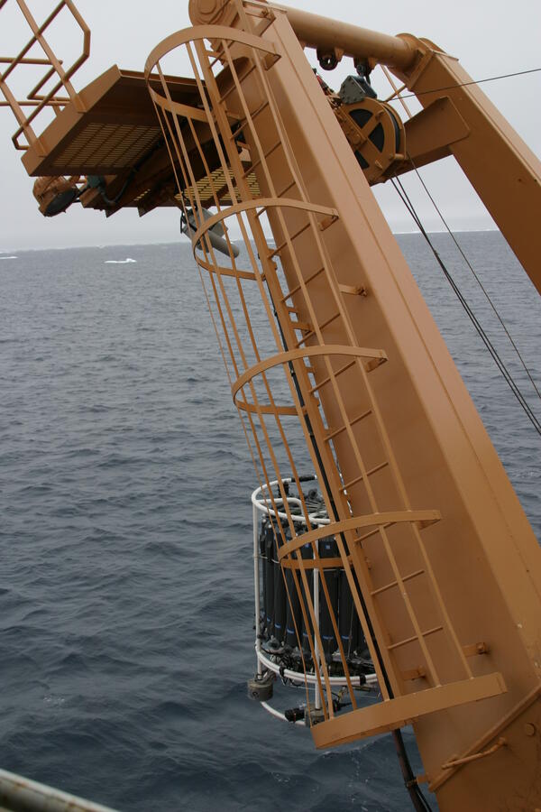
Conductivity Temperature Depth Profiler (CTD) in Arctic Ocean
Conductivity Temperature Depth Profiler (CTD) in Arctic OceanThe Conductivity Temperature Depth Profiler (CTD) is being lowered in the Arctic Ocean to collect water samples and measure conductivity and temperature as a function of water depth.