



Topographic Maps
topoBuilder
Create custom USGS topographic maps on demand using the best available data from The National Map
Explore Historical USGS Topographic Maps
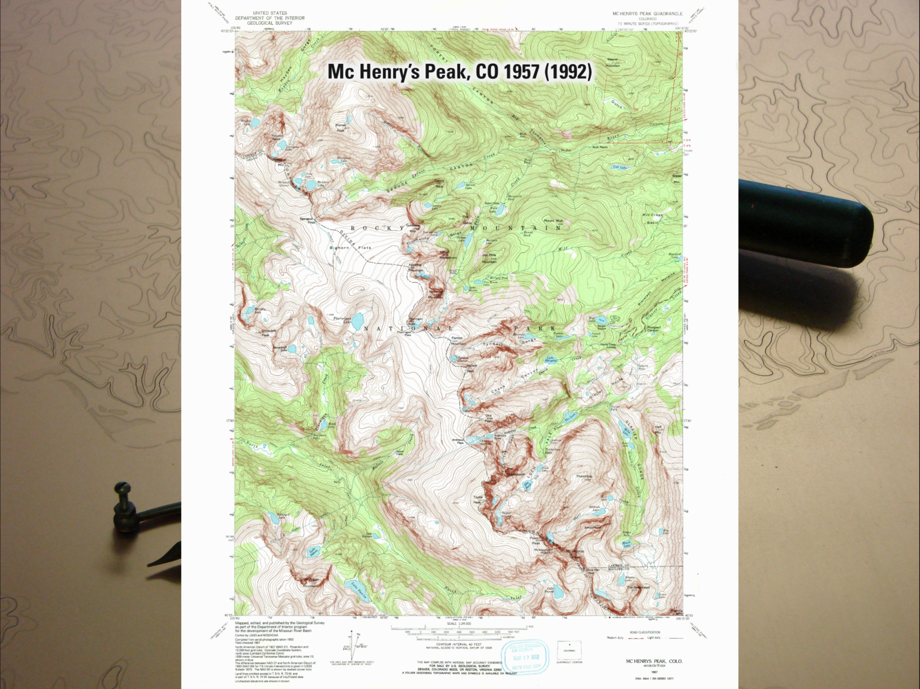
The Historical Topographic Map Collection contains USGS topographic maps published 1884 to 2006
Topographic maps continue to be a signature USGS product because they remain a critical, versatile tool for viewing the Nation's vast landscape.
Download Topo Maps

US Topos, historical topo maps, and more are available through The National Map Downloader.
Create a Custom Topo
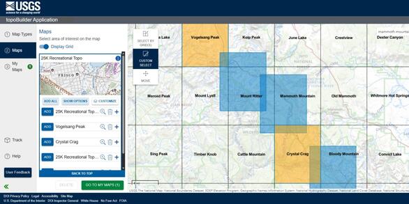
Build a USGS topographic map with choice of format, area of interest, scale, and National Map content.
topoView
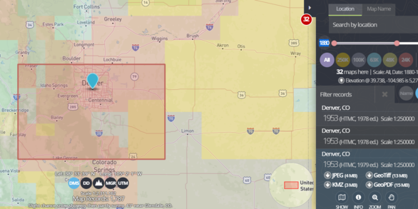
Browse, preview, and download historical topo maps using the topoView application.
U.S. Geological Survey Topographic Map Series

In 1879, the U.S. Geological Survey was entrusted with the responsibility of mapping the Nation and has been the lead Federal civilian mapping agency of the United States ever since.
While mapping has evolved considerably in that time, the National Geospatial Program continues to ensure the availability of complete, consistent, and current topographic maps of the American landscape.
Accessible primarily as free digital downloads, USGS topographic maps come in three distinct varieties:
-
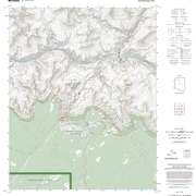
topoBuilder topoBuilder
Create custom topographic maps— OnDemand Topos—using the latest innovation in USGS mapping: the topoBuilder application.
US Topo: Maps for America US Topo: Maps for America
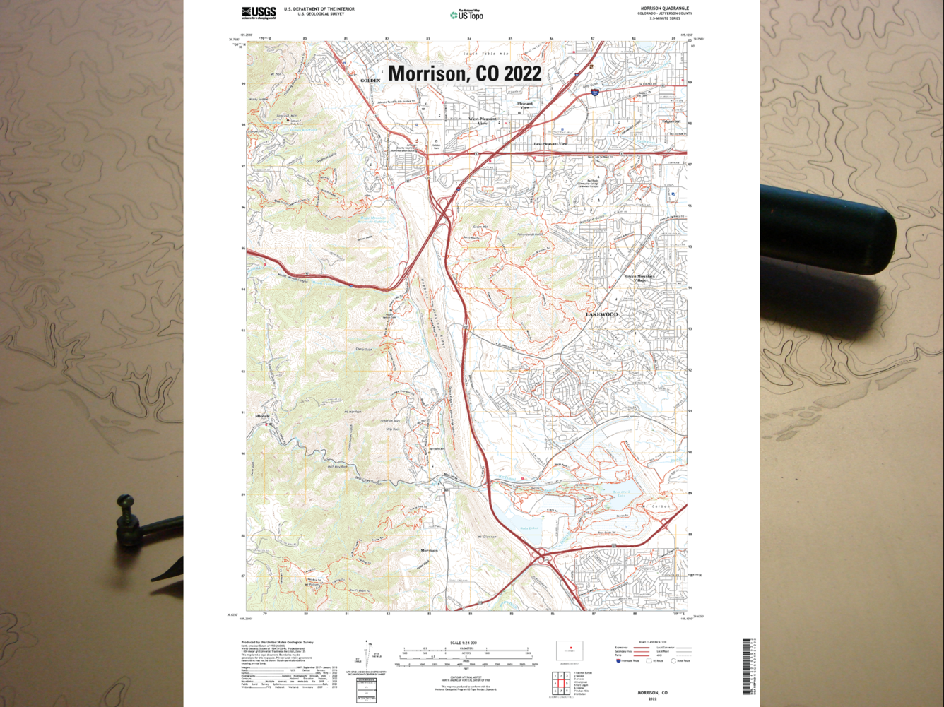
Built on the success of over 140 years of USGS topographic mapping, the US Topo series delivers consistent map coverage of the American landscape using National Map data.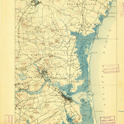
Historical Topographic Maps - Preserving the Past Historical Topographic Maps - Preserving the Past
The Historical Topographic Map Collection (HTMC) is a digital repository of USGS topographic maps originally printed between 1884 and 2006.
Need Help?
Questions and feedback are welcomed by The National Map Help Desk at TNM_Help@USGS.gov.
Or browse answers to some of the most Frequently Asked Questions about USGS mapping.
Looking to purchase a printed map? Visit the USGS Store to order US Topos, historical topos, or many other maps produced by the federal government.
A Brief Overview of USGS Topographic Maps




Additional Resources
Topographic Map Training Videos
Topographic Map FAQs
Topographic Map Standards and Specifications
Explore All Options for Downloading or Ordering USGS Topographic Maps
Access Lists of All Versions of US Topo and Historical Topographic Maps
Related

How do I find, download, or order topographic maps? How do I find, download, or order topographic maps?
The U.S. Geological Survey (USGS) has been the primary civilian mapping agency of the United States since 1879. Some of the most well-known USGS maps are the 1:24,000-scale topographic maps, also called 7.5-minute quadrangles. In 2009, the USGS transitioned from our hand scribed historical topographic maps to US Topos, which are computer-generated on a regular schedule using national databases...

How do US Topo maps differ from historical USGS topographic maps? How do US Topo maps differ from historical USGS topographic maps?
Historically, USGS topographic maps were made using data from primary sources including direct field observations. Those maps were compiled, drawn, and edited by hand. By today's standards, those traditional methods are very expensive and time-consuming, and the USGS no longer has funding to make maps that way. A new USGS topographic map series was launched in 2009 and branded " US Topo." Though...

Can I still get the older topographic maps? Can I still get the older topographic maps?
Yes. Topographic maps originally published as paper documents between 1884-2006 have been scanned and published as the USGS Historical Topographic Map Collection. Download our historical topographic maps and our more current US Topo maps (published 2009-present) free of charge using TopoView (GeoPDF, GeoTIFF, JPEG, and KMZ formats) or using the USGS Store’s Map Locator (GeoPDF format). Order paper...
How do USGS OnDemand Topo maps differ from US Topo maps? How do USGS OnDemand Topo maps differ from US Topo maps?
USGS OnDemand Topo maps and USGS US Topo maps are built using similar datasets but can look different depending on what areas or options the user selects. OnDemand Topos--created using the topoBuilder application--offer customizations such as custom extents, a variety of scales, contour smoothing, and user-selected data layers. They include U.S. Territory coverage that is not available on US...
Related
How do I find, download, or order topographic maps? How do I find, download, or order topographic maps?
The U.S. Geological Survey (USGS) has been the primary civilian mapping agency of the United States since 1879. Some of the most well-known USGS maps are the 1:24,000-scale topographic maps, also called 7.5-minute quadrangles. In 2009, the USGS transitioned from our hand scribed historical topographic maps to US Topos, which are computer-generated on a regular schedule using national databases...
How do US Topo maps differ from historical USGS topographic maps? How do US Topo maps differ from historical USGS topographic maps?
Historically, USGS topographic maps were made using data from primary sources including direct field observations. Those maps were compiled, drawn, and edited by hand. By today's standards, those traditional methods are very expensive and time-consuming, and the USGS no longer has funding to make maps that way. A new USGS topographic map series was launched in 2009 and branded " US Topo." Though...
Can I still get the older topographic maps? Can I still get the older topographic maps?
Yes. Topographic maps originally published as paper documents between 1884-2006 have been scanned and published as the USGS Historical Topographic Map Collection. Download our historical topographic maps and our more current US Topo maps (published 2009-present) free of charge using TopoView (GeoPDF, GeoTIFF, JPEG, and KMZ formats) or using the USGS Store’s Map Locator (GeoPDF format). Order paper...
How do USGS OnDemand Topo maps differ from US Topo maps? How do USGS OnDemand Topo maps differ from US Topo maps?
USGS OnDemand Topo maps and USGS US Topo maps are built using similar datasets but can look different depending on what areas or options the user selects. OnDemand Topos--created using the topoBuilder application--offer customizations such as custom extents, a variety of scales, contour smoothing, and user-selected data layers. They include U.S. Territory coverage that is not available on US...