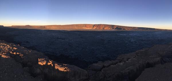
The ocean entry being fed by a crusted over channel has fewer tiny ooze-out channels than yesterday spilling into the water. One larger ooze-out channel making dominant entry plume at the northern end of the broad ocean entry.
Images
Hawaiian Volcano Observatory images of eruptive activity, field work, and more.
The ocean entry being fed by a crusted over channel has fewer tiny ooze-out channels than yesterday spilling into the water. One larger ooze-out channel making dominant entry plume at the northern end of the broad ocean entry.
Kīlauea Volcano — Fissure 8 Channel (Annotated)
Kīlauea Volcano — Fissure 8 Channel (Annotated)Annotated drone image of Kīlauea Volcano's lower East Rift Zone fissure 8 lava channel. Image captured near Kapoho Crater looking east toward the ocean entry. Incandescent flow margin is more easily identified in the dark - specifically here in the area of Kapoho Beach Lots.
At the coast, the northern margin of the flow field is still oozing pasty lava at several points in the area of Kapoho Beach Lots.
Fountains from Fissure 8 spatter cone continue to supply lava to the open channel with intermittent small, short-lived overflows. Overflows appear as lighter gray to silver areas on the margins of the channel.
Lava from fissure 8 is fed into a channel that travels about 13 km (8 mi) to the sea. A plumemarks the location of fissure 8, visible in the upper right; a small plume in the upper center marks the location of fissure 22.
This animated GIF shows a sequence of radar amplitude images that were acquired by the Agenzia Spaziale Italiana CosmoSkyMed satellite system. The images illustrate changes to the caldera area of Kīlauea Volcano that occurred between May 5 and June 30 at about 6:00 a.m. HST.
Fountains from the fissure 8 spatter cone continue to supply lava to an open channel.
View of Kīlauea Volcano's summit. The brown visible dust coming from Halema‘uma‘u is from rockfalls.
Hawaiian Volcano Observatory geologist Matt Patrick acquires video of fissure 8 and the lava channel from Pohoiki Road/Highway 132. The video is used to document fountain behavior and lava flow characteristics, and how they change with time.
At the Kapoho coast, lava enters the ocean along the northern margin of the flow field.
Lava was entering the ocean over a broad area this morning. This image shows an active entry area along the northern flow front at Kapoho. View to the south.
Kīlauea Volcano — Lava Flowing Around Channel Islands
Kīlauea Volcano — Lava Flowing Around Channel IslandsLava flows around islands in the lava channel. The direction of flow is from the upper right to lower left. Field crews can make a rough calculation of velocity by timing large blocks as they pass between two landmarks that are a known distance apart.
During the June 29 overflight, USGS scientists observed multiple active spots along the Kapoho ocean entry producing laze plumes.
High-resolution satellite data are useful for mapping cracks and deformation in the summit caldera at Kīlauea Volcano.
One portion of the braided section of the fissure 8 lava channel.
Fissure 8 and the proximal lava flow channel on the morning of June 29. Low fountaining within the cone is still producing a vigorous supply of lava to the channel.
Early morning view of Fissure 8. Lava roils and pours out of the spatter cone into the open channel.
View of the ocean entry (lower left) from this morning's overflight. Lava was entering the ocean across a broad area primarily on the north part of the lava delta.
Kīlauea Volcano — Fresh Lava at Kapoho Beach Lots
Kīlauea Volcano — Fresh Lava at Kapoho Beach LotsNear the coast, the northern margin of the lava flow field is still oozing fresh lava at several points in the area of Kapoho Beach Lots. Smoke marks locations where lava is burning vegetation.
Kīlauea Volcano — Fresh Lava at Kapoho Beach Lots
Kīlauea Volcano — Fresh Lava at Kapoho Beach LotsNear the coast, the northern margin of the lava flow field is still oozing fresh lava at several points in the area of Kapoho Beach Lots. Smoke marks locations where lava is burning vegetation.
routine inspection of a UAS system prior to a flight
routine inspection of a UAS system prior to a flightTwo U.S. Geological Survey Unmanned Aircraft Systems (UAS) pilots perform a routine inspection of a UAS system prior to a flight at the summit of Kīlauea Volcano in June 2018. The UAS for this particular flight was outfitted with a multi-gas sensor to identify any new degassing sources within the collapsing summit caldera.
Night view of the lava channel toward fissure 8 under a nearly full moon. This image was taken from an observation point near the right-hand bend in the channel where it turns southward around Kapoho Crater.