
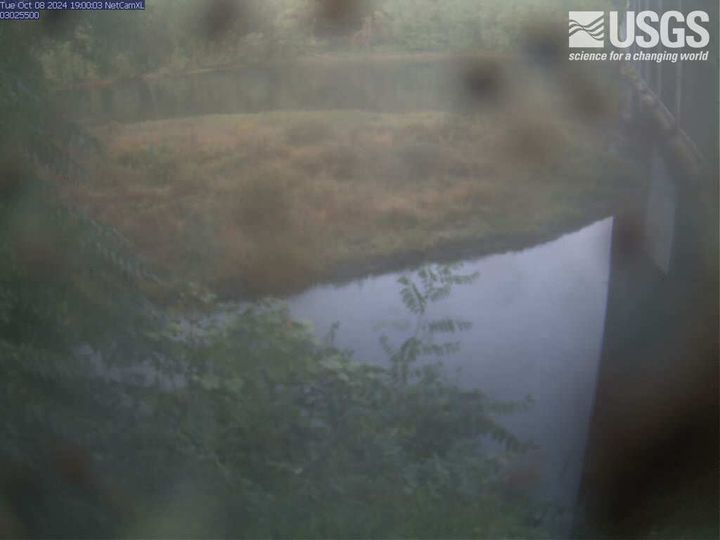
The latest view from the camera at Allegheny River at Franklin, PA (03025500). Visit webcam for more details.
Webcams
The USGS maintains a variety of webcams across the U.S. These webcams provide valuable research information and data to the USGS scientists, the National Weather Service, emergency managers, and area residents to evaluate near, real-time conditions during natural hazard events (most webcams refresh every 5 - 20 minutes).
Filter Total Items: 346
Allegheny River at Franklin, PA (03025500)
The latest view from the camera at Allegheny River at Franklin, PA (03025500). Visit webcam for more details.
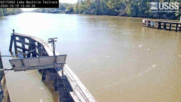
Lake Moultrie Canal at Moncks Corner, SC (02172002)
Lake Moultrie Canal at Moncks Corner, SC (02172002)We have installed a webcam at the Lake Moultrie Tailrace Canal at Moncks Corner, SC to allow you to view, in real time, the current river-stage conditions.
During periods of flooding, the South Atlantic Water Science Center - South Carolina will take control of the camera.
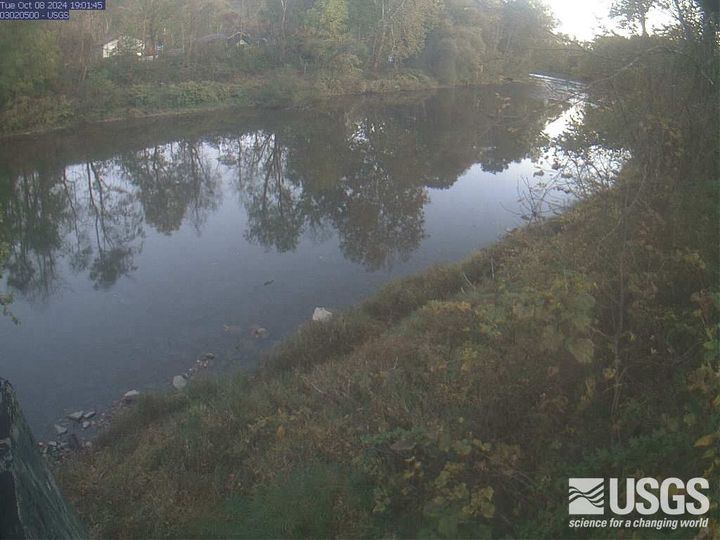
Oil Creek at Rouseville, PA (03020500)
The latest view from Oil Creek at Rouseville, PA (03020500). View the webcam for more details.
The latest view from Oil Creek at Rouseville, PA (03020500). View the webcam for more details.
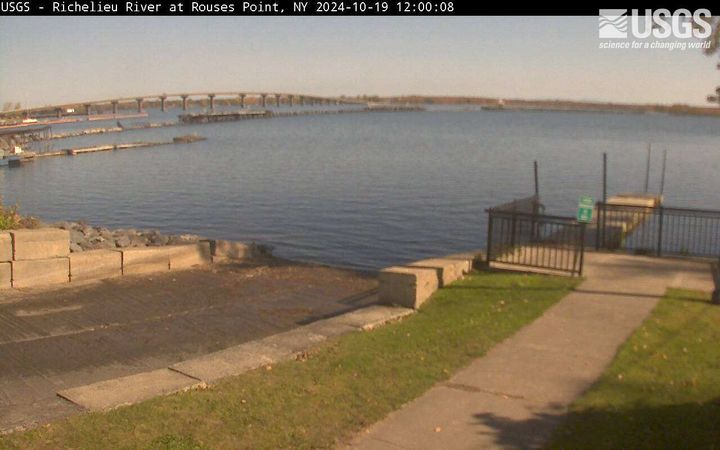
Richelieu River (Lake Champlain) at Rouses Point, NY
Richelieu River (Lake Champlain) at Rouses Point, NYRichelieu River (Lake Champlain) at Rouses Point, NY from USGS gaging station (04295000)
Richelieu River (Lake Champlain) at Rouses Point, NY
Richelieu River (Lake Champlain) at Rouses Point, NYRichelieu River (Lake Champlain) at Rouses Point, NY from USGS gaging station (04295000)
Susquehanna River at Towanda, PA (01531500)
A view of the latest image of the Susquehanna River at Towanda, PA (01531500). Visit webcam for more details.
A view of the latest image of the Susquehanna River at Towanda, PA (01531500). Visit webcam for more details.
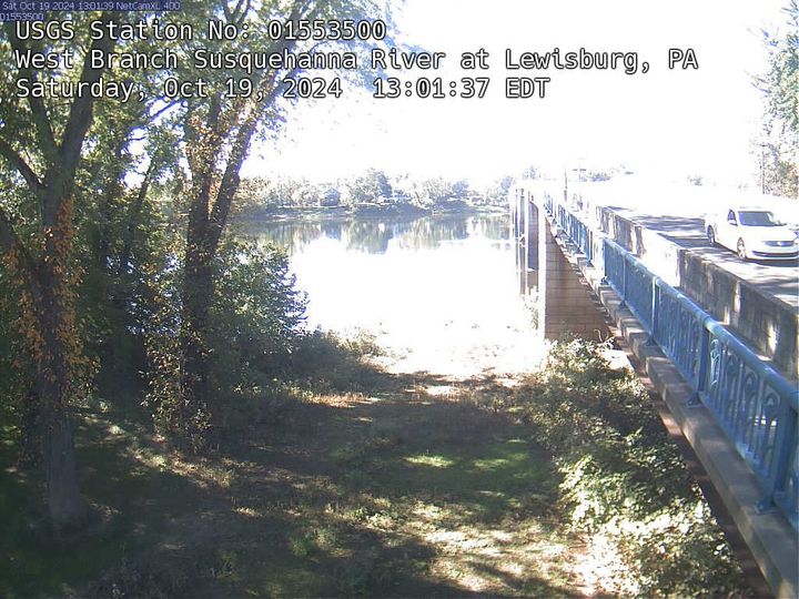
West Branch Susquehanna River at Lewisburg, PA (01553500)
West Branch Susquehanna River at Lewisburg, PA (01553500)View of the latest image from the West Branch Susquehanna River at Lewisburg, PA (01553500). View webcam for more details.
West Branch Susquehanna River at Lewisburg, PA (01553500)
West Branch Susquehanna River at Lewisburg, PA (01553500)View of the latest image from the West Branch Susquehanna River at Lewisburg, PA (01553500). View webcam for more details.
[M2cam] The Middle Part of Mauna Loa's Southwest Rift Zone
[M2cam] The Middle Part of Mauna Loa's Southwest Rift ZoneThis image is from a research camera positioned on a cone in Mauna Loa's Southwest Rift Zone in Hawaiʻi Volcanoes National Park. The camera looks northeast (upslope), focusing on the middle part of the Southwest Rift Zone. The volcano's summit is at upper right.
Disclaimer
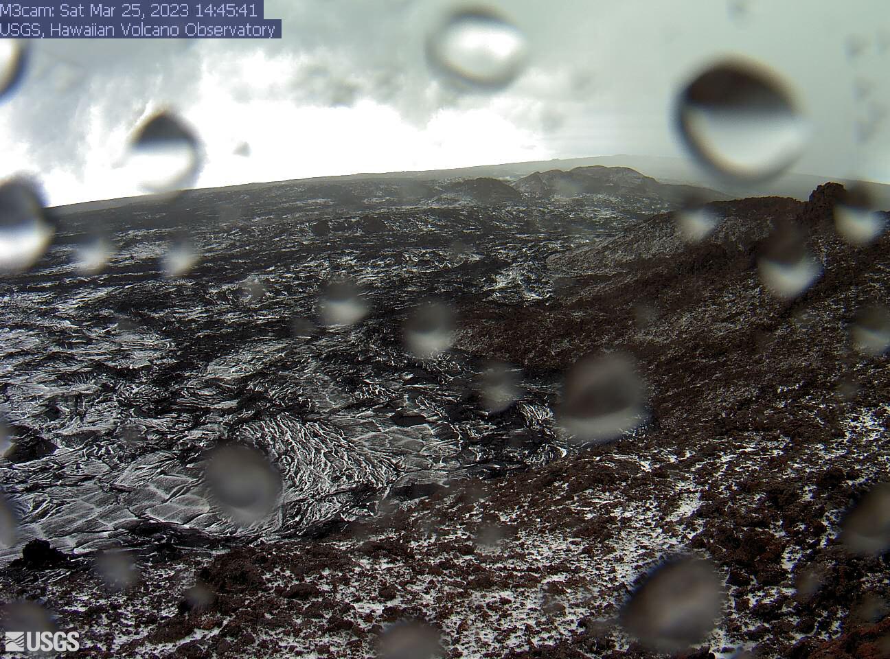
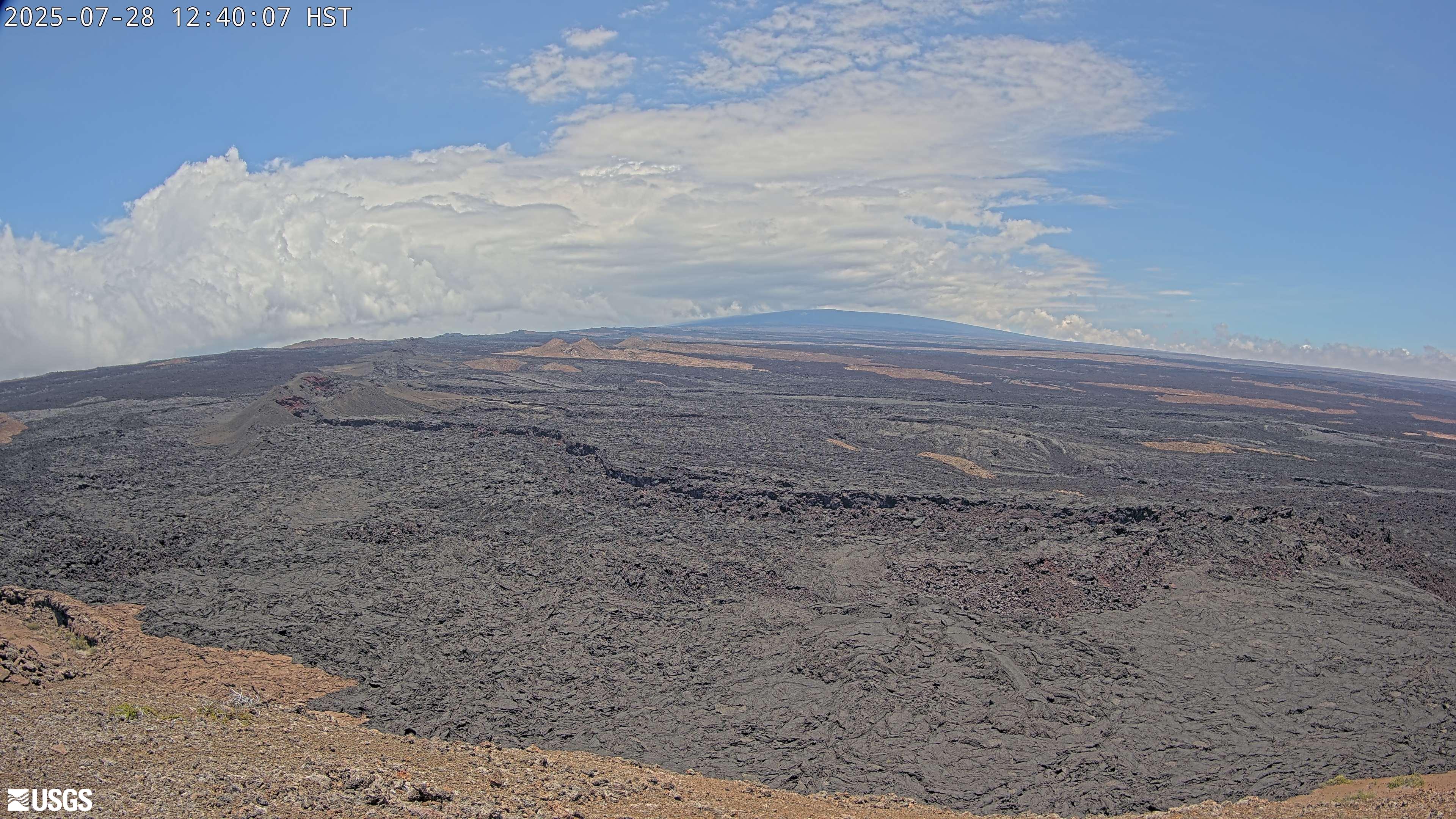
[M3cam] The Upper Part of Mauna Loa's Southwest Rift Zone
[M3cam] The Upper Part of Mauna Loa's Southwest Rift ZoneThis image is from a research camera positioned on a cone in Mauna Loa's Southwest Rift Zone in Hawaiʻi Volcanoes National Park. The camera looks northeast (upslope), focusing on the upper part of the Southwest Rift Zone. The upper flank of Mauna Loa forms the skyline.
Disclaimer
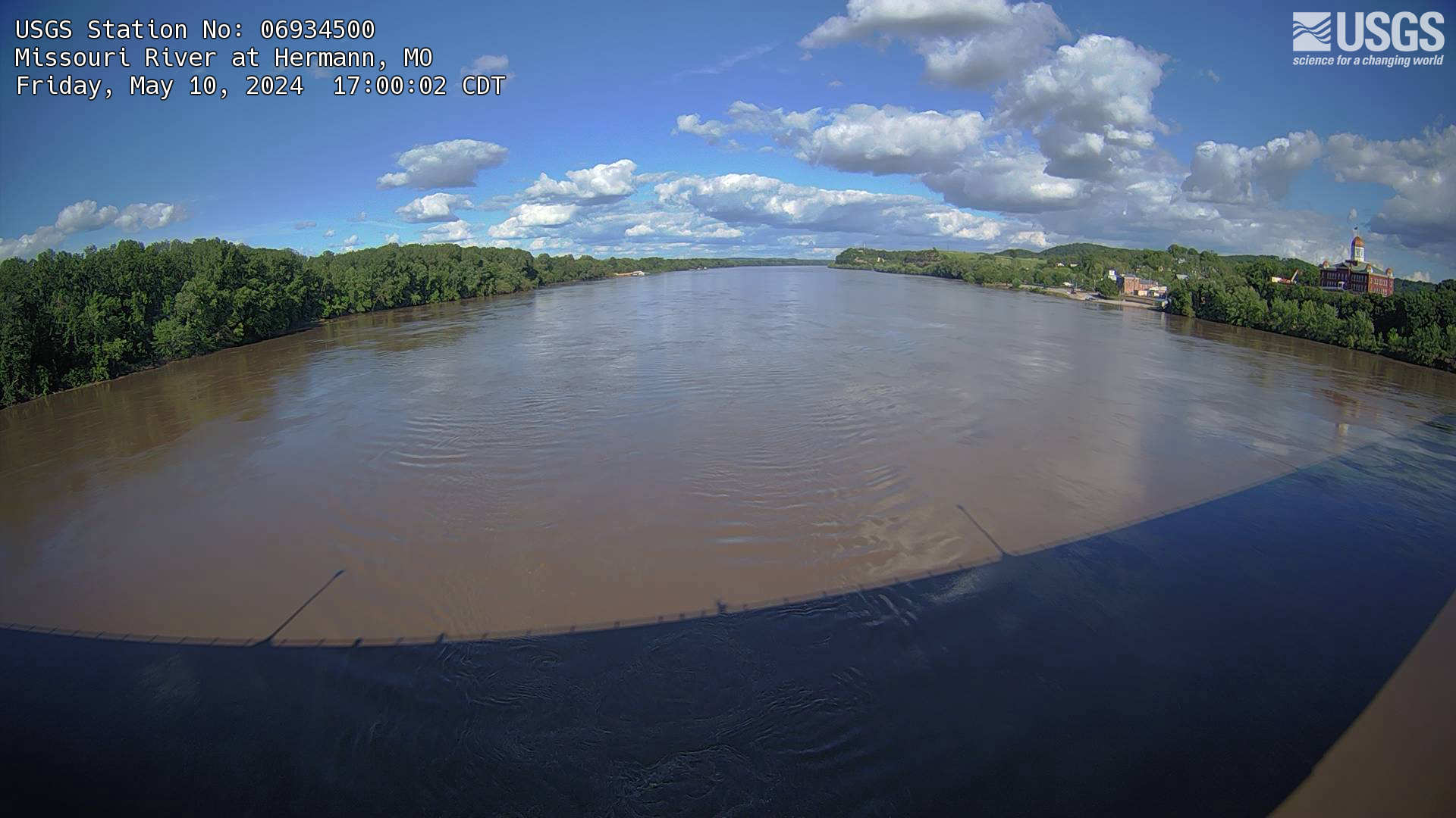
Missouri River at Hermann, MO (06934500)
The webcam is located on a gaging station (06934500) on the Missouri River in Hermann, MO. View the current conditions at the gaging station.
The webcam is located on a gaging station (06934500) on the Missouri River in Hermann, MO. View the current conditions at the gaging station.
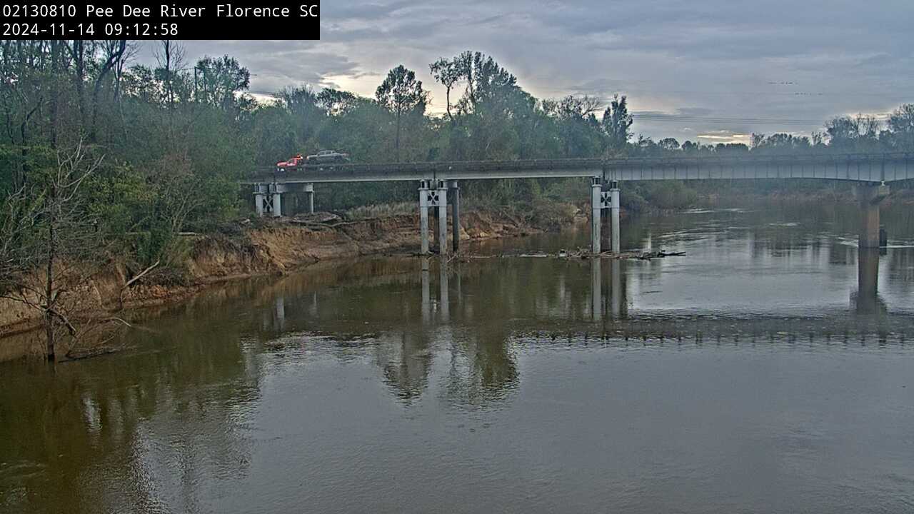
Pee Dee River near Florence (Upstream, 02130810)
We have installed a webcam at Peedee River near Florence to allow you to view (in real time) the current conditions.
During periods of flooding, the South Atlantic Water Science Center - South Carolina will take control of the camera.
Camera is sponsored by the SC Department of Transportation.
We have installed a webcam at Peedee River near Florence to allow you to view (in real time) the current conditions.
During periods of flooding, the South Atlantic Water Science Center - South Carolina will take control of the camera.
Camera is sponsored by the SC Department of Transportation.
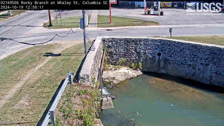
Rocky Branch at Whaley St., Columbia (02169506)
We have installed a webcam at the Rocky Branch at Whaley St. to allow you to view, in real time, the current river-stage conditions.
During periods of flooding, the South Atlantic Water Science Center - South Carolina will take control of the camera.
We have installed a webcam at the Rocky Branch at Whaley St. to allow you to view, in real time, the current river-stage conditions.
During periods of flooding, the South Atlantic Water Science Center - South Carolina will take control of the camera.
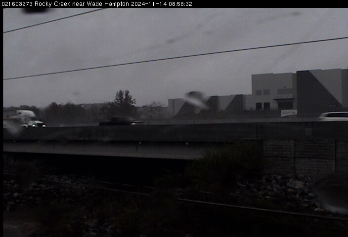
Rocky Creek Near Wade Hampton (021603273)
We have installed a webcam at Rocky Creek, near Wade Hampton, to allow you to view (in real time) the current river-stage conditions.
During periods of flooding, the South Atlantic Water Science Center - South Carolina will take control of the camera.
We have installed a webcam at Rocky Creek, near Wade Hampton, to allow you to view (in real time) the current river-stage conditions.
During periods of flooding, the South Atlantic Water Science Center - South Carolina will take control of the camera.

[HPcam] Lava Flow 61G from Holei Pali
This image is from a research camera positioned on Holei Pali, looking east towards Lava Flow 61G and Kalapana.
Disclaimer
This image is from a research camera positioned on Holei Pali, looking east towards Lava Flow 61G and Kalapana.
Disclaimer
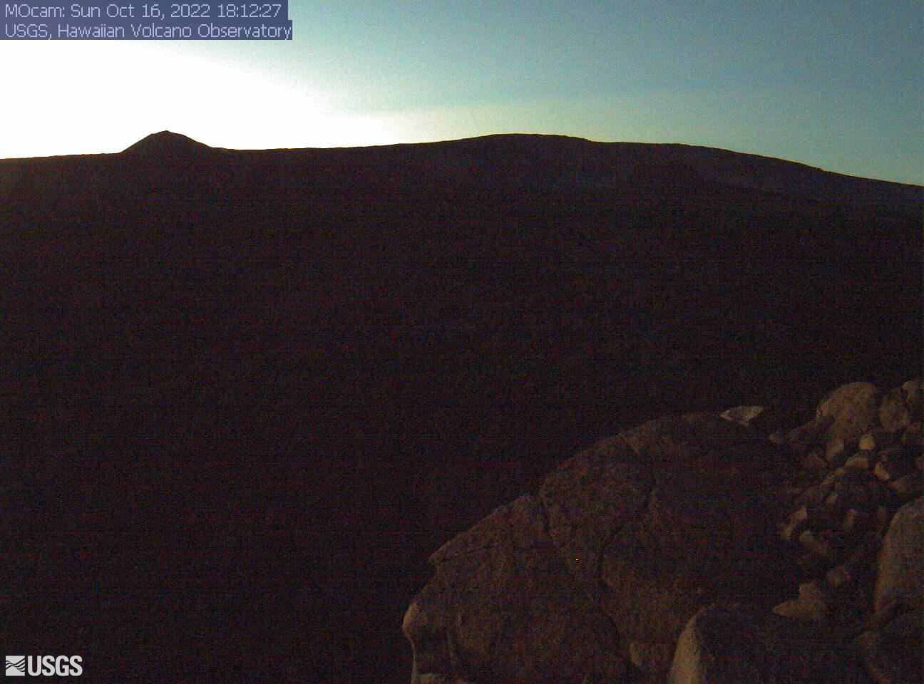
[MLcam] Mokuʻāweoweo Caldera from the Northwest Rim
[MLcam] Mokuʻāweoweo Caldera from the Northwest RimThis image is from a research camera positioned on the north rim of Mokuʻāweoweo, the summit caldera of Mauna Loa volcano by the USGS Hawaiian Volcano Observatory. If you look carefully around early morning or late evening, you may see a few thermal areas emitting steam. See 'Current Activity' for the latest Mauna Loa information.
[MOcam] Mokuʻāweoweo Caldera from South Rim
This image is from a research camera positioned on the south rim of Mokuʻāweoweo, Mauna Loa's summit caldera, in Hawaiʻi Volcanoes National Park. The camera looks north, focusing on the southern part of the caldera. The 1940 cone is just right of center; the 1949 cone is on the caldera rim at left. The high point of Mauna Loa's summit is in the background.
This image is from a research camera positioned on the south rim of Mokuʻāweoweo, Mauna Loa's summit caldera, in Hawaiʻi Volcanoes National Park. The camera looks north, focusing on the southern part of the caldera. The 1940 cone is just right of center; the 1949 cone is on the caldera rim at left. The high point of Mauna Loa's summit is in the background.
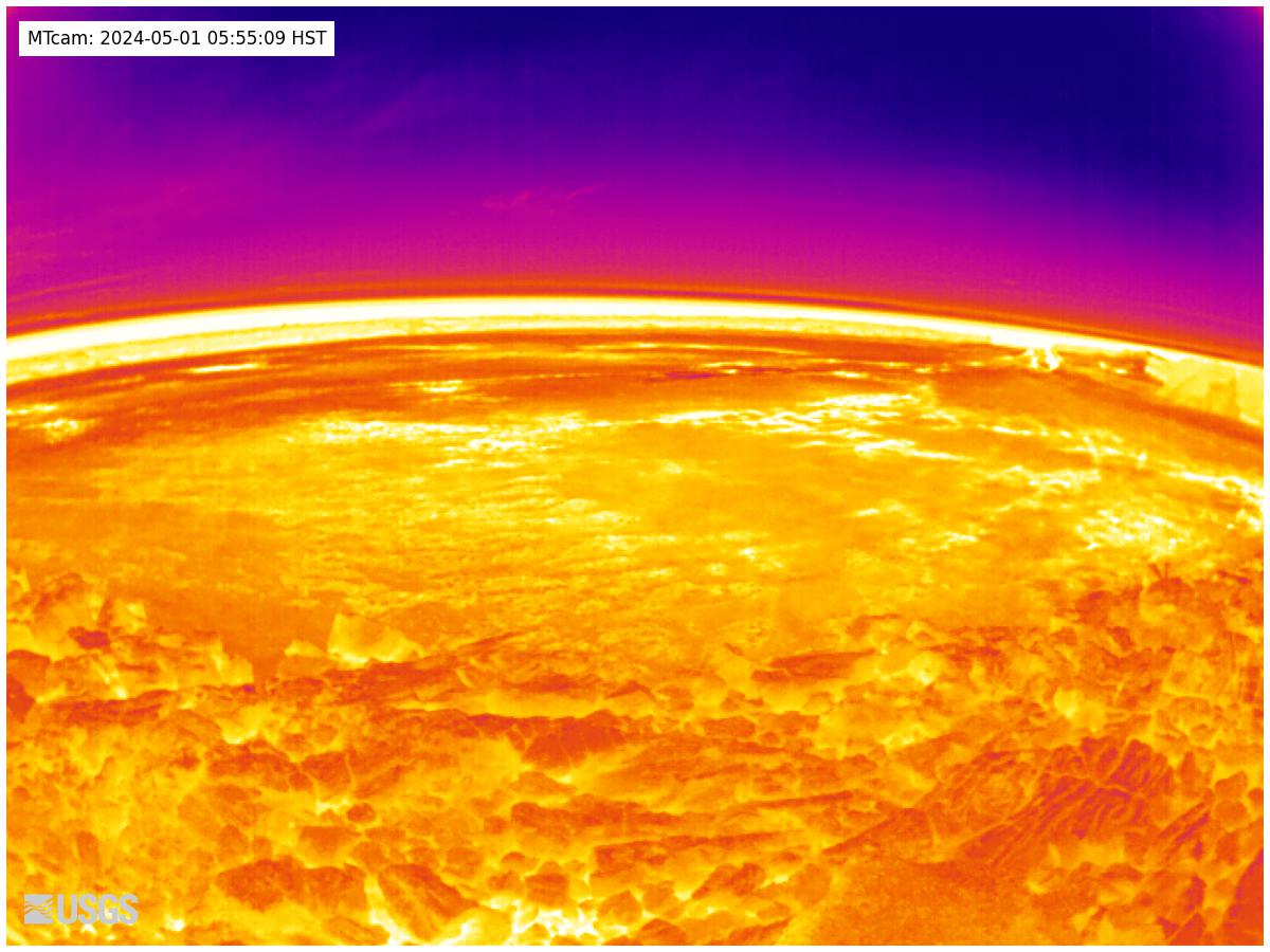
[MTcam] Mokuʻāweoweo Caldera Thermal from the Northwest Rim
[MTcam] Mokuʻāweoweo Caldera Thermal from the Northwest RimThis image is from a thermal camera located on the north rim of Mauna Loa's summit caldera. The camera was upgraded on November 8, 2023. Thermal webcams record in Centigrade, conversions to Fahrenheit are provided here for your convenience: 20°C=68°F, 40°C=104°F, 60°C=140°F, 80°C=176°F.
Disclaimer
[PGcam] Lower East Rift Zone Camera from Lower East Rift Zone
[PGcam] Lower East Rift Zone Camera from Lower East Rift ZoneThis image is from atop Puʻu Honuaula looking southwest towards Leilani Estates. Fissure 22 is on the far left, and Puʻu Kaliu is the cone left of center on the skyline. The fissure 8 channel wraps from the center of the image to the lower right side of the image.
Disclaimer
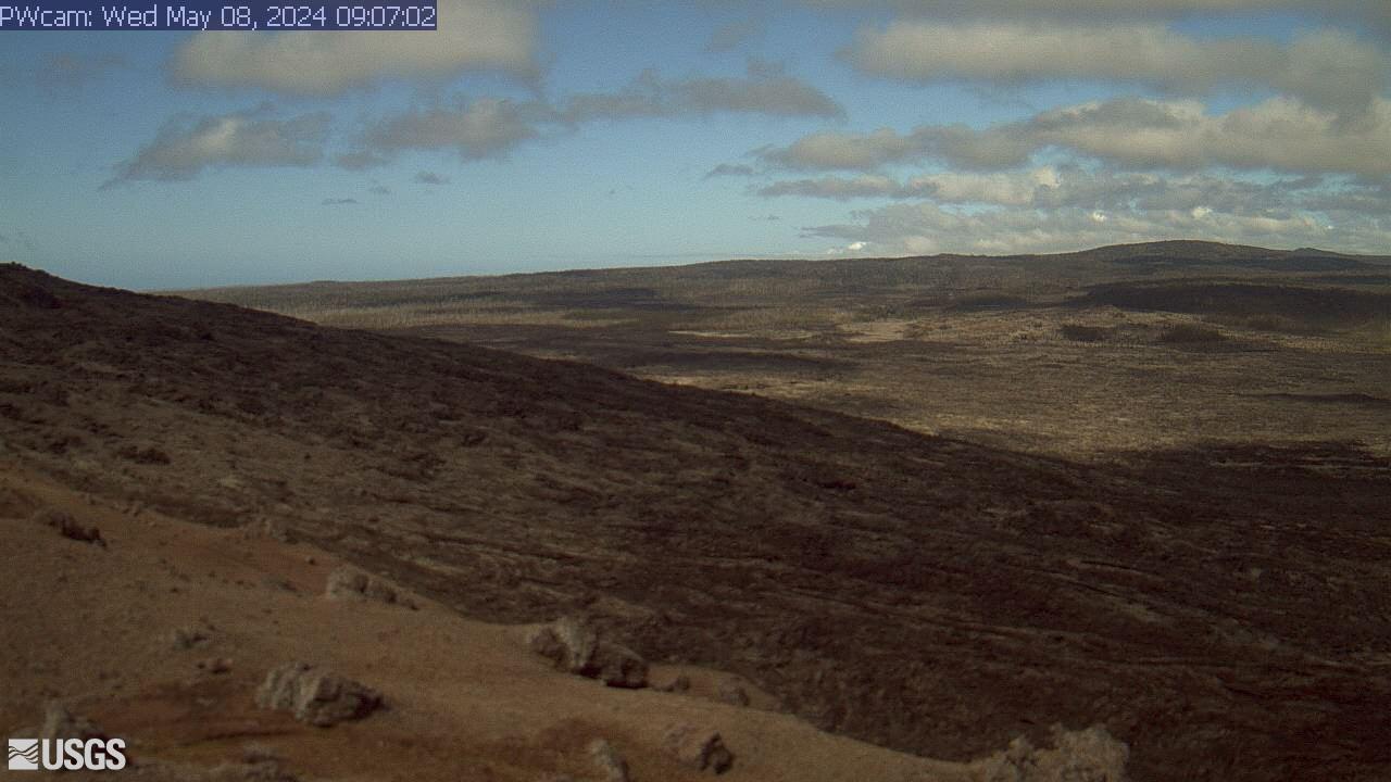
[PWcam] Puʻu ʻŌʻō West Flank from Puʻu ʻŌʻō
This image is from a research camera positioned on the northwest flank of Puʻu ʻŌʻō, looking southwest. On the morning of May 24, 2016, this camera was rotated to be pointed northeast to follow a new breakout on the east flank of Puʻu ʻŌʻō.
Disclaimer
This image is from a research camera positioned on the northwest flank of Puʻu ʻŌʻō, looking southwest. On the morning of May 24, 2016, this camera was rotated to be pointed northeast to follow a new breakout on the east flank of Puʻu ʻŌʻō.
Disclaimer
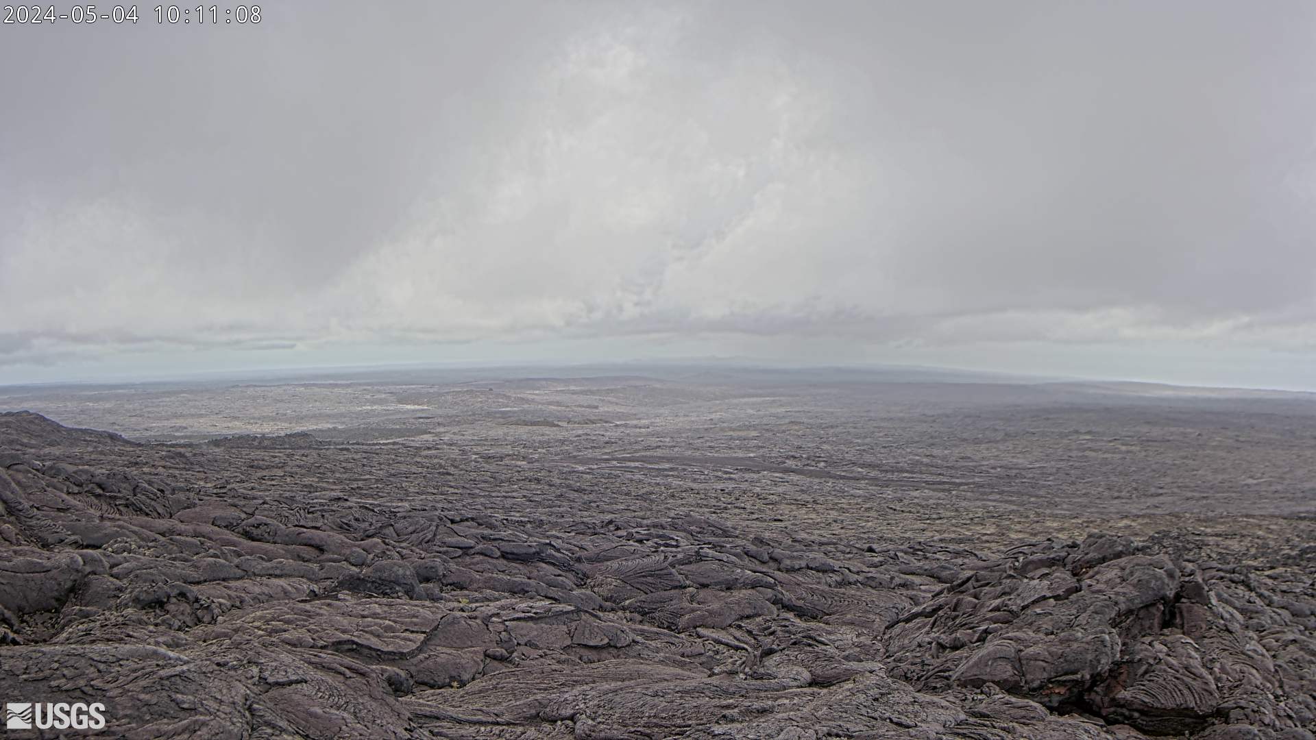
[R3cam] Mobile Cam 3
This image is from a research camera positioned on the southeast flank of Puʻu ʻŌʻō, looking toward the southeast.
This image is from a research camera positioned on the southeast flank of Puʻu ʻŌʻō, looking toward the southeast.
[SPcam] South Pit from South Rim
This image is from a research camera positioned on the south rim of Mokuʻāweoweo, Mauna Loa's summit caldera, in Hawaiʻi Volcanoes National Park. The camera looks west-southwest, across South Pit, focusing on the south part of Mauna Loa's summit region and upper Southwest Rift Zone.
Disclaimer
This image is from a research camera positioned on the south rim of Mokuʻāweoweo, Mauna Loa's summit caldera, in Hawaiʻi Volcanoes National Park. The camera looks west-southwest, across South Pit, focusing on the south part of Mauna Loa's summit region and upper Southwest Rift Zone.
Disclaimer
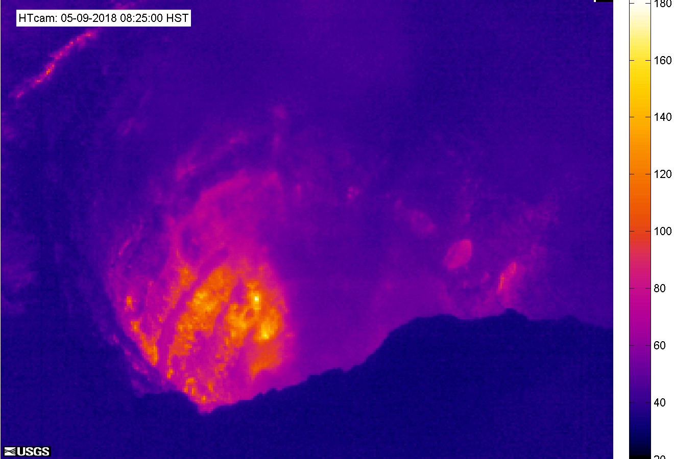
[HTcam] Halemaʻumaʻu Overlook Vent Thermal from Halemaʻumaʻu Overlook
[HTcam] Halemaʻumaʻu Overlook Vent Thermal from Halemaʻumaʻu OverlookThis image is from a temporary thermal camera located on the south rim of Halemaʻumaʻu and looking steeply toward the north at the active Halemaʻumaʻu vent.
[HTcam] Halemaʻumaʻu Overlook Vent Thermal from Halemaʻumaʻu Overlook
[HTcam] Halemaʻumaʻu Overlook Vent Thermal from Halemaʻumaʻu OverlookThis image is from a temporary thermal camera located on the south rim of Halemaʻumaʻu and looking steeply toward the north at the active Halemaʻumaʻu vent.