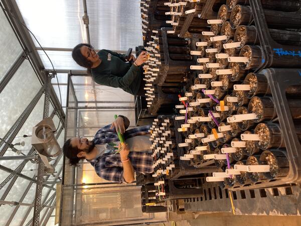
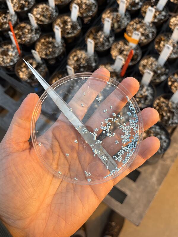
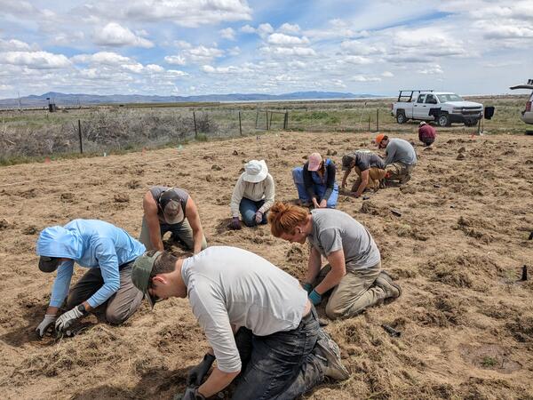
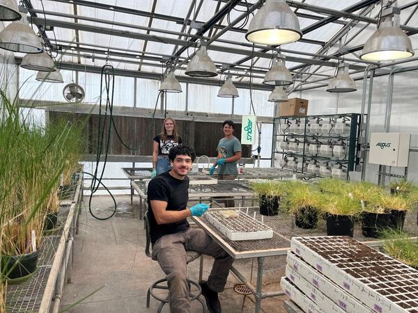
Northern Montana Sagebrush Collaborative Restoration Landscape
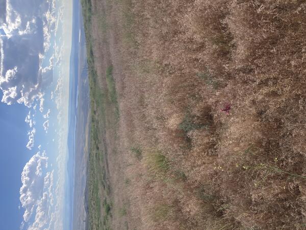
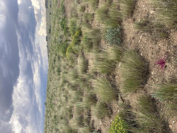
Northern Montana Sagebrush Collaborative Restoration LandscapeSagebrush Collaborative Restoration Landscapes capture over a third of the remaining intact Core Sagebrush Areas across the sagebrush biome.