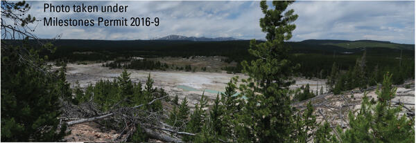
Lower Geyser Basin, with Fountain and Clepsydra Geysers in eruption
Lower Geyser Basin, with Fountain and Clepsydra Geysers in eruptionView of Lower Geyser Basin, with Fountain and Clepsydra Geysers in eruption, looking south towards Fountain Paint Pots. The vegetation in the photo is indicative of vegetation throughout much of Lower Geyser Basin—open grassland maintained by hot ground with patches of lodgepole pine.