
USGS employees surveying on the South Platte near Overland Golf Course (February 2024) using RC boat and sonar.
Multimedia
Some collected images, video, and live web cameras in Colorado.
Images

South Platte near Overland Golf Course
USGS employees surveying on the South Platte near Overland Golf Course (February 2024) using RC boat and sonar.

South Platte near Elitch Gardens
USGS employee surveying on the South Platte near Elitch Gardens in February, 2024.
USGS employee surveying on the South Platte near Elitch Gardens in February, 2024.

ADCP setup on the South Platte near Elitch Gardens
USGS employees setting up an ADCP survey on the South Platte River near Elitch Gardens in Denver, CO.
USGS employees setting up an ADCP survey on the South Platte River near Elitch Gardens in Denver, CO.

Allison Kreiley - Staff Profile
Allison is a Hydrologic Technician with the Colorado Water Science Center at the Lakewood Field Office specializing in streamflow and water quality data collection.
Allison is a Hydrologic Technician with the Colorado Water Science Center at the Lakewood Field Office specializing in streamflow and water quality data collection.

Jessica Sanow - Staff Profile
Jessica Sanow is a Hydrologist with the USGS Colorado Water Science Center in Lakewood, CO.
Jessica Sanow is a Hydrologist with the USGS Colorado Water Science Center in Lakewood, CO.

Sam Burch - Staff Profile
Sam is a Hydrologic Technician with the Colorado Water Science Center (COWSC), Western Colorado Office, in Grand Junction, CO.
Sam is a Hydrologic Technician with the Colorado Water Science Center (COWSC), Western Colorado Office, in Grand Junction, CO.
Videos

John Wesley Powell, Canyon Geologist
Webcams
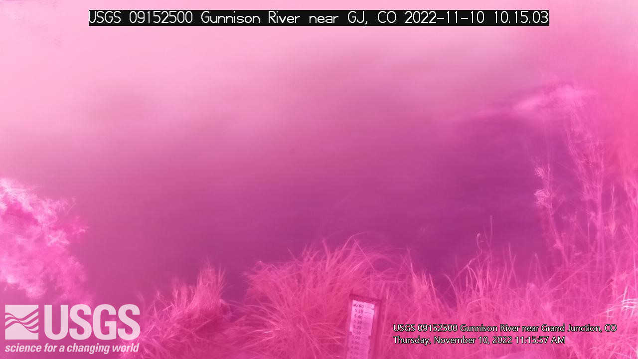
Streamgage 09152500 Gunnison River near Grand Junction, CO
Webcam at USGS Streamgage 09152500 Gunnison River near Grand Junction, CO.
Visit Water Data For the Nation to get current data for this site.
Webcam at USGS Streamgage 09152500 Gunnison River near Grand Junction, CO.
Visit Water Data For the Nation to get current data for this site.
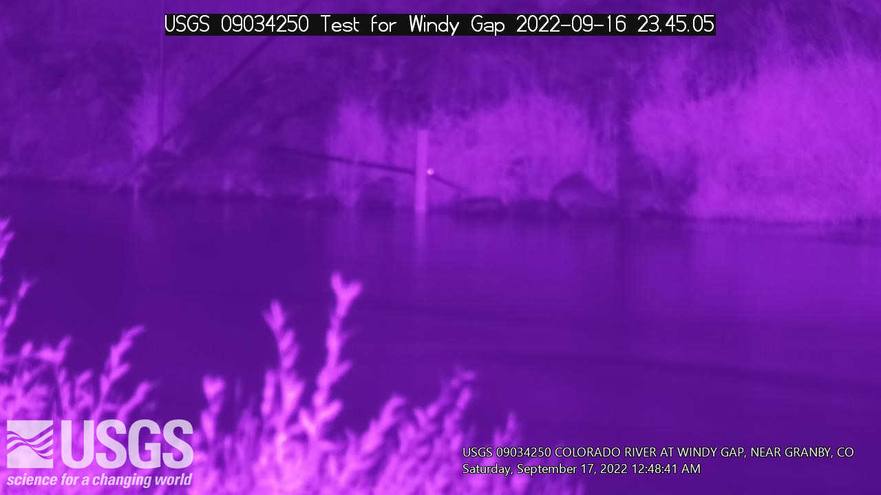
Streamgage 09034250 Colorado River at Windy Gap near Granby, CO
Webcam at USGS Streamgage 09034250 Colorado River at Windy Gap near Granby, CO.
Visit Water Data For the Nation to get current data for this site.
Webcam at USGS Streamgage 09034250 Colorado River at Windy Gap near Granby, CO.
Visit Water Data For the Nation to get current data for this site.
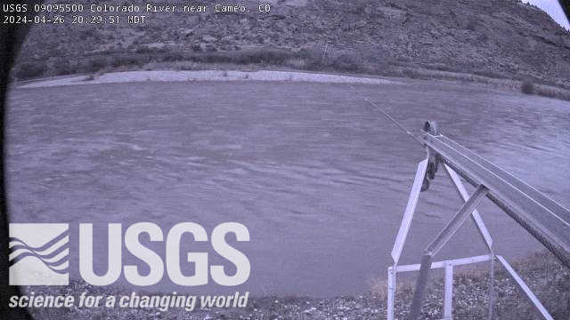
Streamgage 09095500 Colorado River near Cameo, CO
Webcam at USGS Streamgage 09095500 Colorado River near Cameo, CO.
Visit Water Data For the Nation to get current data for this site.
Webcam at USGS Streamgage 09095500 Colorado River near Cameo, CO.
Visit Water Data For the Nation to get current data for this site.

Streamgage 09071750 Colorado River above Glenwood Springs, CO
Webcam at USGS Streamgage 09071750 Colorado River above Glenwood Springs, CO.
Visit Water Data For the Nation to get current data for this site.
Webcam at USGS Streamgage 09071750 Colorado River above Glenwood Springs, CO.
Visit Water Data For the Nation to get current data for this site.
Four Mile Creek AT Orodell, CO (06727500)
View from a USGS webcam of Fourmile Creek at Orodell, CO, USGS site number 06727500
View from a USGS webcam of Fourmile Creek at Orodell, CO, USGS site number 06727500