



USGS Scientist Kelly Smalling wading into the river at site USGS 01381900 Passaic River at Pine Brook, New Jersey to collect water samples for PFAS study
Images
New Jersey Water Science Center Image File
Filter Total Items: 313
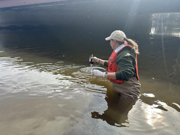
Pine Brook Sampling
USGS Scientist Kelly Smalling wading into the river at site USGS 01381900 Passaic River at Pine Brook, New Jersey to collect water samples for PFAS study
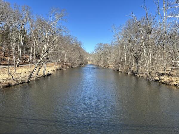
Ramapo Glen Gary Rd
Looking upstream from a boat towards the bridge and the USGS 01387735 Ramapo River at Glen Gary Rd
Looking upstream from a boat towards the bridge and the USGS 01387735 Ramapo River at Glen Gary Rd
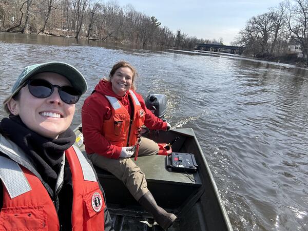
Passaic River Boat Sampling
Two USGS Scientists Molly Schreiner and Sally Carullo, traveling upstream at site USGS 01389005 Passaic River at Two Bridges, New Jersey, to sample for PFAS
Two USGS Scientists Molly Schreiner and Sally Carullo, traveling upstream at site USGS 01389005 Passaic River at Two Bridges, New Jersey, to sample for PFAS
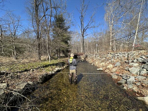
Bear Swamp Measurement
USGS Scientist Lucas Sirotniak taking a wading discharge measurement of the site USGS 01387700 Bear Swamp near Oakland, New Jersey
USGS Scientist Lucas Sirotniak taking a wading discharge measurement of the site USGS 01387700 Bear Swamp near Oakland, New Jersey

Princeton Webcam
Stony Brook flowing through channel as seen from on top of the gage house at Streamgage 01401000 Stony Brook at Princeton, New Jersey
Stony Brook flowing through channel as seen from on top of the gage house at Streamgage 01401000 Stony Brook at Princeton, New Jersey
Marlboro Webcam
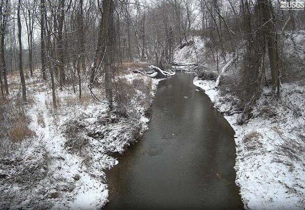
Big Brook flowing through channel as seen from on top of the gage house at Streamgage 01407290 Big Brook near Marlboro, New Jersey
Big Brook flowing through channel as seen from on top of the gage house at Streamgage 01407290 Big Brook near Marlboro, New Jersey
North Branch Webcam
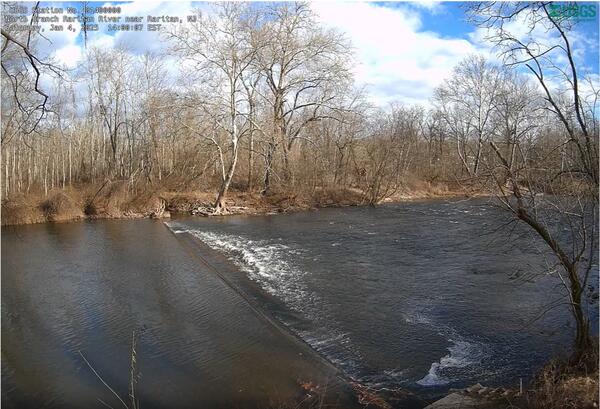
North Branch Raritan River flowing through channel as seen from on top of the gage house at Streamgage 01400000 North Branch Raritan River near Raritan, New Jersey
North Branch Raritan River flowing through channel as seen from on top of the gage house at Streamgage 01400000 North Branch Raritan River near Raritan, New Jersey
Allenwood Webcam
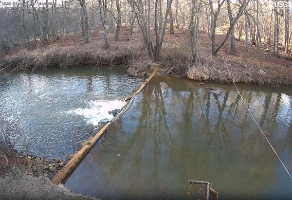
Manasquan River flowing through channel as seen from on top of the gage house at Streamgage 01407290 Manasquan River near Allenwood, New Jersey
Manasquan River flowing through channel as seen from on top of the gage house at Streamgage 01407290 Manasquan River near Allenwood, New Jersey
Passaic River Winter Sampling
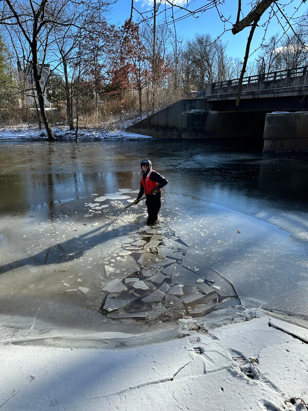
USGS Scientist Jake Gray breaking up ice to wade into the site USGS 01379320 Passaic River at Gillette, New Jersey to collect PFAS samples
USGS Scientist Jake Gray breaking up ice to wade into the site USGS 01379320 Passaic River at Gillette, New Jersey to collect PFAS samples
Ewingville Webcam
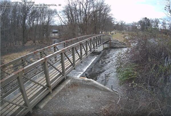
Shabakunk Creek flowing through channel as seen from on top of the gage house at Streamgage 01463740 Shabakunk Creek at Sylva Lake Dam at Ewingville, New Jersey
Shabakunk Creek flowing through channel as seen from on top of the gage house at Streamgage 01463740 Shabakunk Creek at Sylva Lake Dam at Ewingville, New Jersey
Ramapo River Sampling
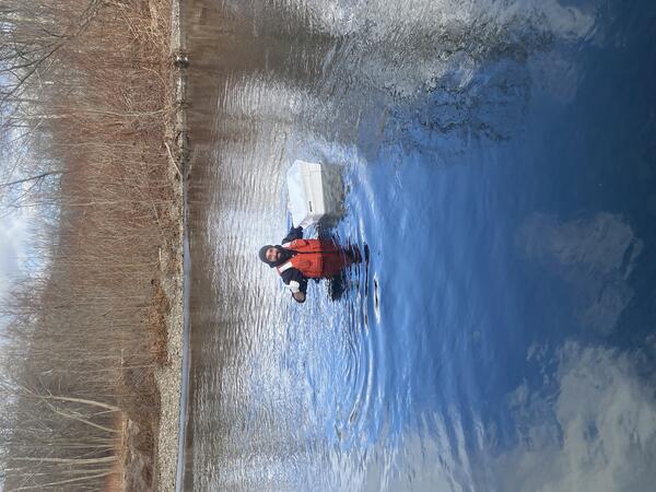
USGS Scientist Jon Cohl wading the site USGS 01387500, Ramapo River at Mahwah, New Jersey to collect samples.
USGS Scientist Jon Cohl wading the site USGS 01387500, Ramapo River at Mahwah, New Jersey to collect samples.
Berkley Heights Sampling
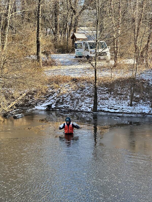
USGS Scientist Jacob Gray wades into the site USGS 01379340 Passaic River at Berkley Heights, New Jersey to collect samples for PFAS analysis
USGS Scientist Jacob Gray wades into the site USGS 01379340 Passaic River at Berkley Heights, New Jersey to collect samples for PFAS analysis
Side Looking Tide Gage
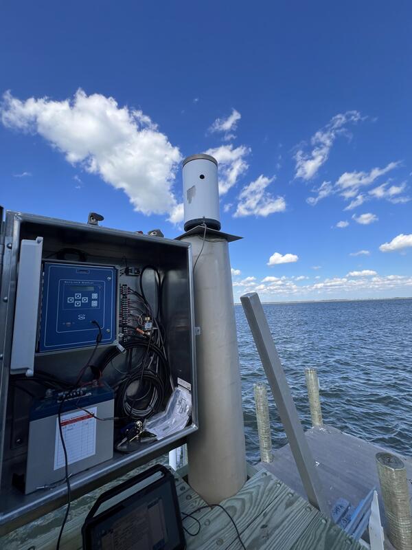
Looking at the Data Collection Platform for a side-looking tide sensor at the 01411320 Great Egg Harbor Bay at Ocean City, New Jersey gage
Looking at the Data Collection Platform for a side-looking tide sensor at the 01411320 Great Egg Harbor Bay at Ocean City, New Jersey gage
Tidal Crest-Stage Gage
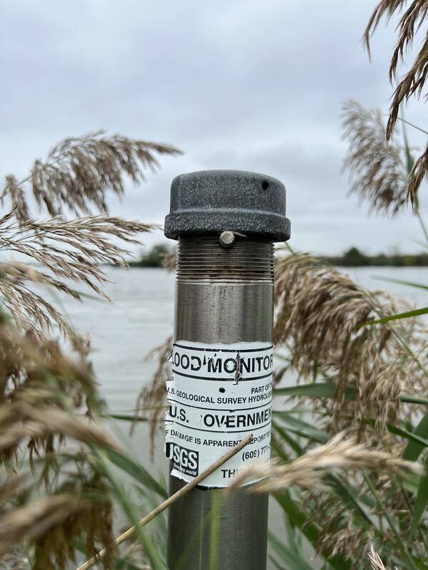
Tidal Crest-Stage Gage located at the USGS 01482650 Salem River at Salem, New Jersey site.
Tidal Crest-Stage Gage located at the USGS 01482650 Salem River at Salem, New Jersey site.
Coastal Weather Station
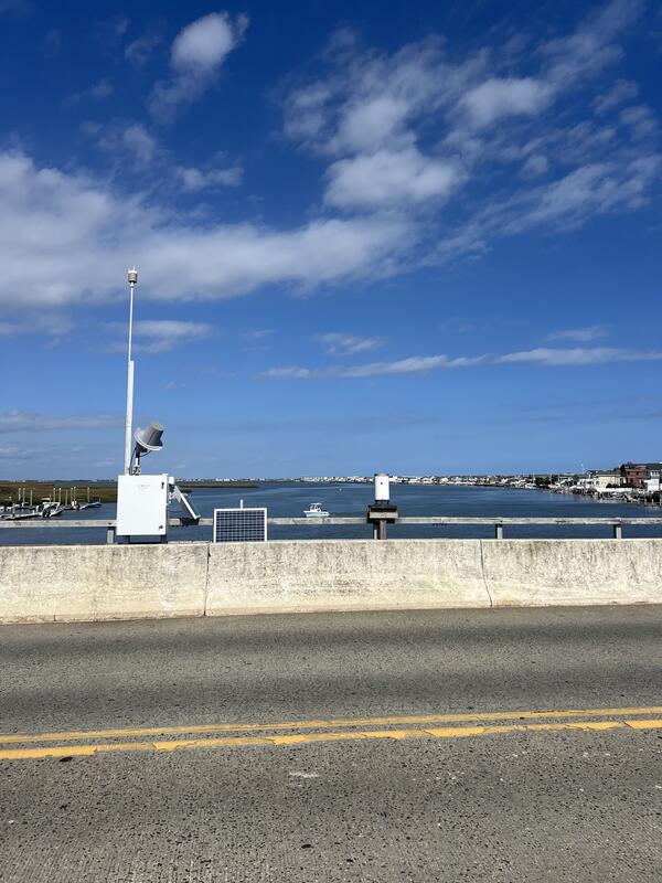
Weather sensor and rain gage, USGS 390325074455401 Stone Harbor USGS Weather Station, mounted along with USGS
Weather sensor and rain gage, USGS 390325074455401 Stone Harbor USGS Weather Station, mounted along with USGS
Raritan Storm Sampling
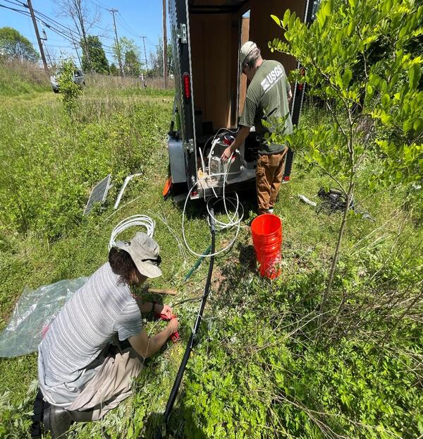
USGS Hydrologists Zachary Bunnel and Tim Wilson setting up storm sampling equipment within a trailer in the Raritan River Basin as was common in most study sites.
USGS Hydrologists Zachary Bunnel and Tim Wilson setting up storm sampling equipment within a trailer in the Raritan River Basin as was common in most study sites.
Crypyo Collection
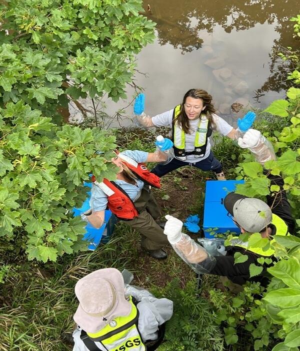
Hydrographers Kat Cahalane, Anna Deetz-Boetsma, and Lucas Sirotniak celebrate a successful Cryptosporidium sample run.
Hydrographers Kat Cahalane, Anna Deetz-Boetsma, and Lucas Sirotniak celebrate a successful Cryptosporidium sample run.
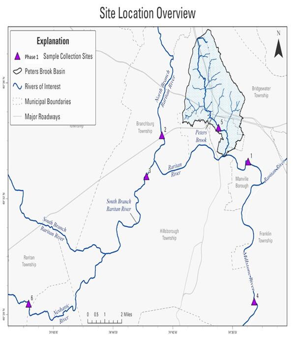
Raritan Site Map
Map of Sampling Locations within the Raritan River Basin from the Phase 1 Track Down Study.
Map of Sampling Locations within the Raritan River Basin from the Phase 1 Track Down Study.
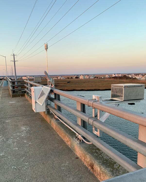
Avalon Tide Gage
USGS 01411355 Ingram Thorofare at Avalon, New Jersey tide gage.
This site was moved from its original location near the marshes below, to a much higher elevation on the side of a nearby bridge.
USGS 01411355 Ingram Thorofare at Avalon, New Jersey tide gage.
This site was moved from its original location near the marshes below, to a much higher elevation on the side of a nearby bridge.
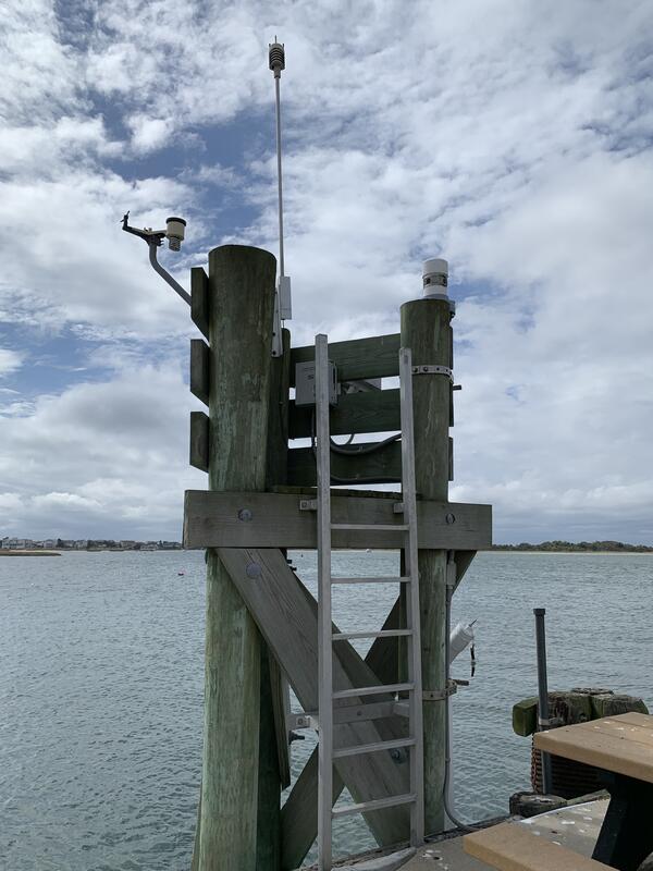
Barnegat Light Tide Gage
USGS 01409125 Barnegat Bay at Barnegat Light, New Jersey tide gage.
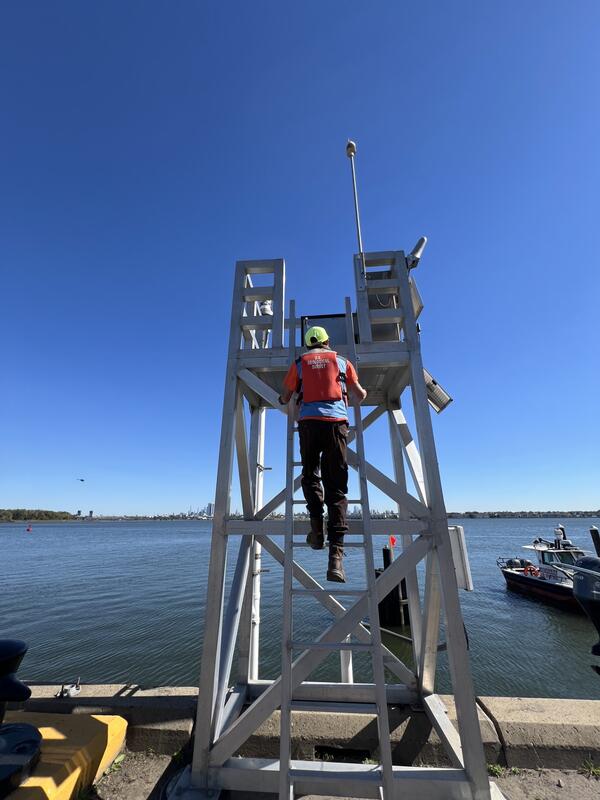
Newark Tide Gage
USGS 01392650 Newark Bay at PVSC at Newark, New Jersey tide gage.