
Strengthening Our Skills: sUAS Lidar Training
The USGS Woods Hole Coastal and Marine Science Center hosted a small uncrewed aircraft system lidar training workshop from October 31 through November 4.
The combined use of uncrewed aircraft systems (UAS), or drones, and lidar (light detection and ranging) technology enable scientists to create maps and 3D models of different coastal environments, survey land cover types of interest, and assess short- and long-term changes to the coastline.
From October 31 through November 4, the U.S. Geological Survey (USGS) Woods Hole Coastal and Marine Science Center’s (WHCMSC) Aerial Imaging and Mapping group hosted a training workshop on using small UAS (sUAS) lidar technology. The workshop was taught by Mark Bauer and Matt Burgess of the USGS National Uncrewed Systems Office and Geoffrey DeBenedetto of the USGS Arizona Water Science Center.


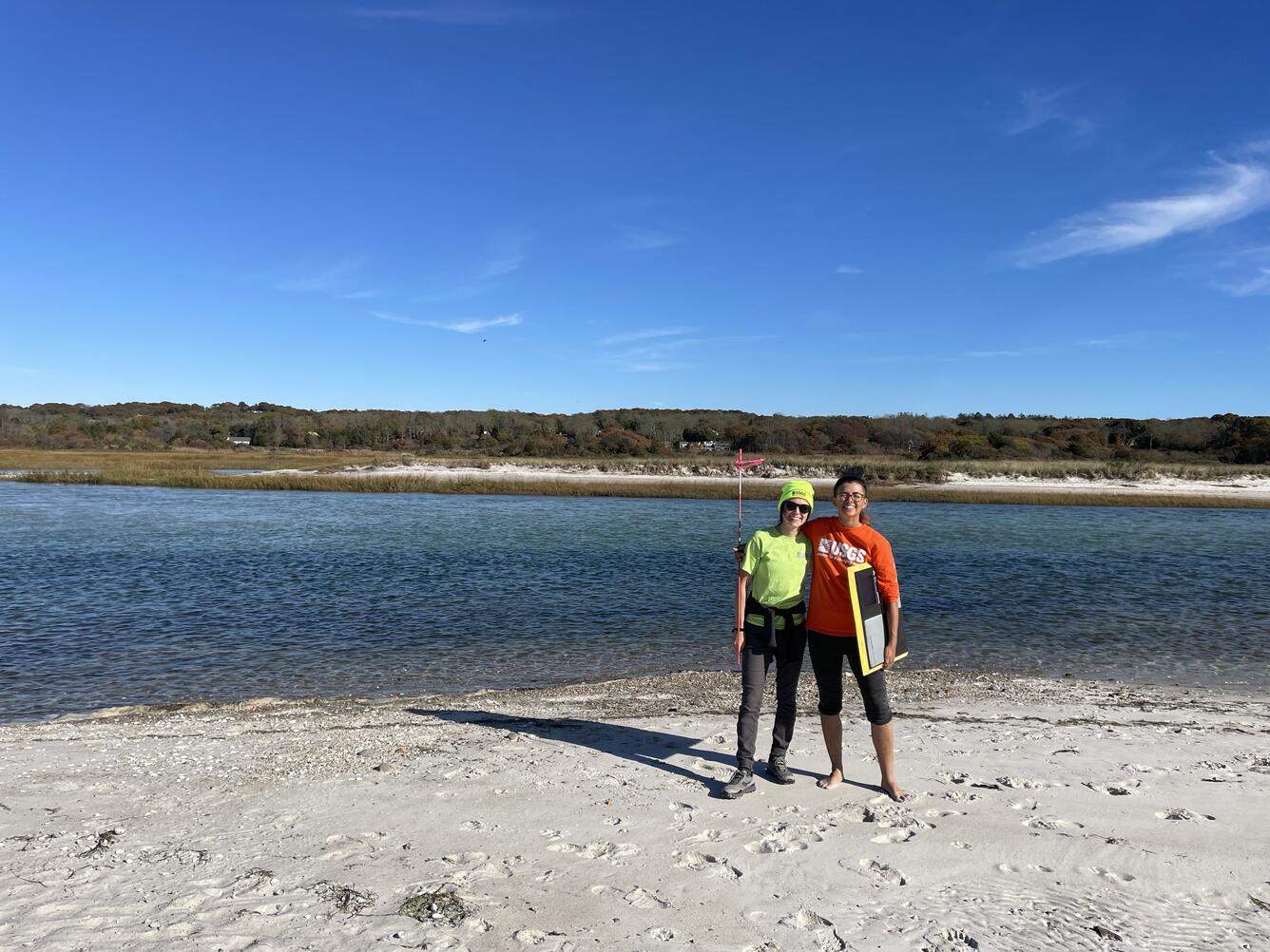


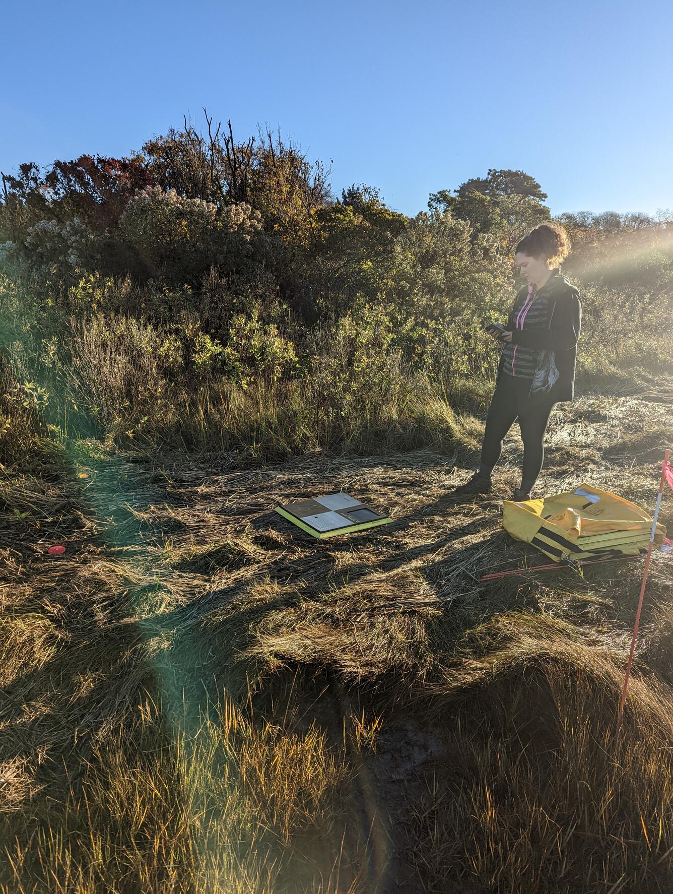

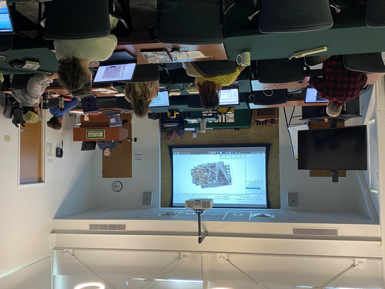


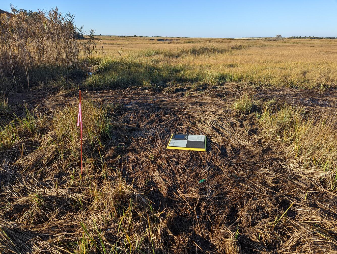

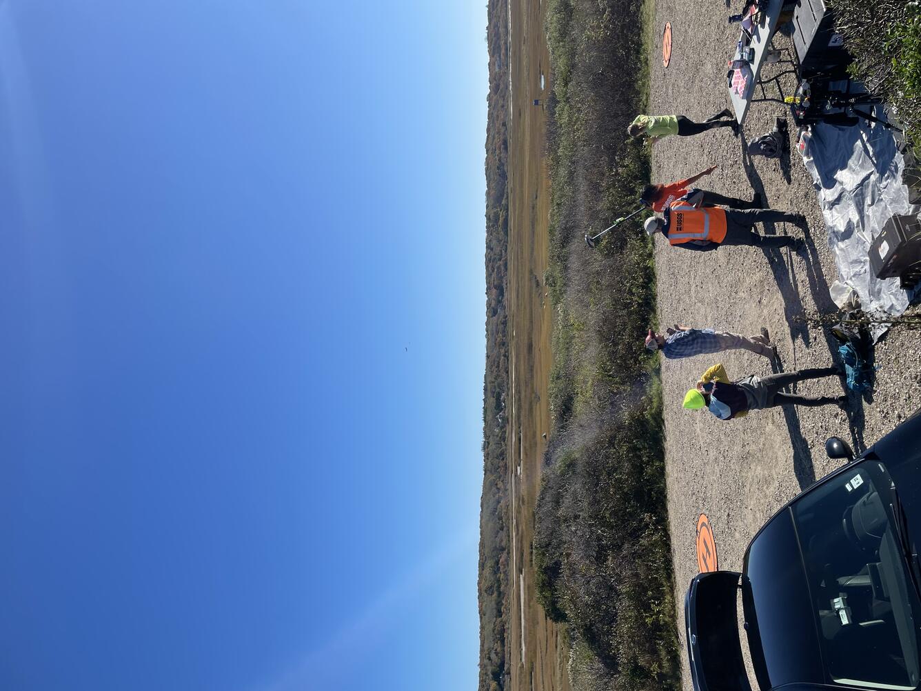


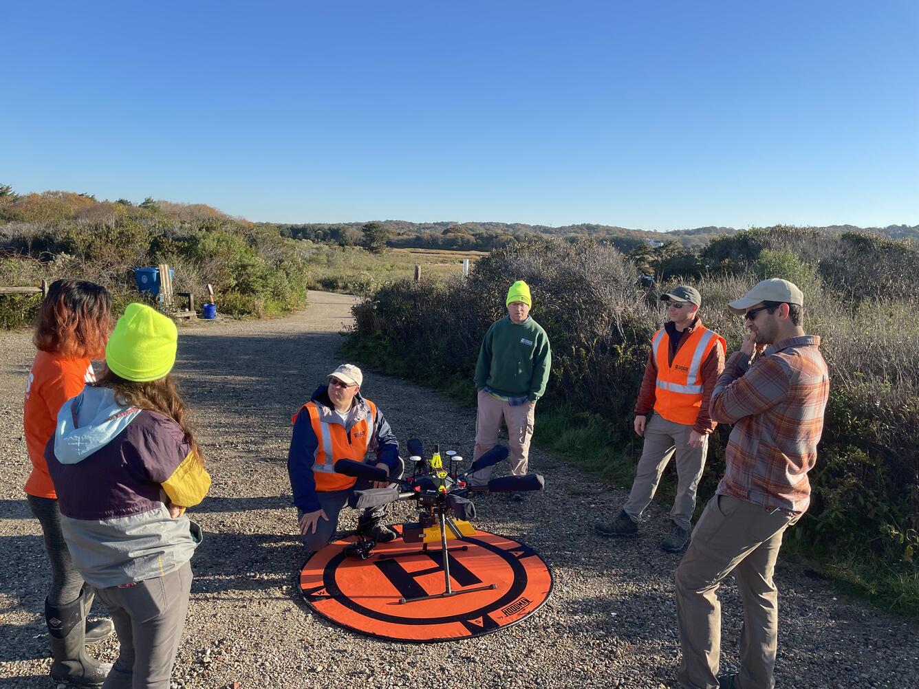
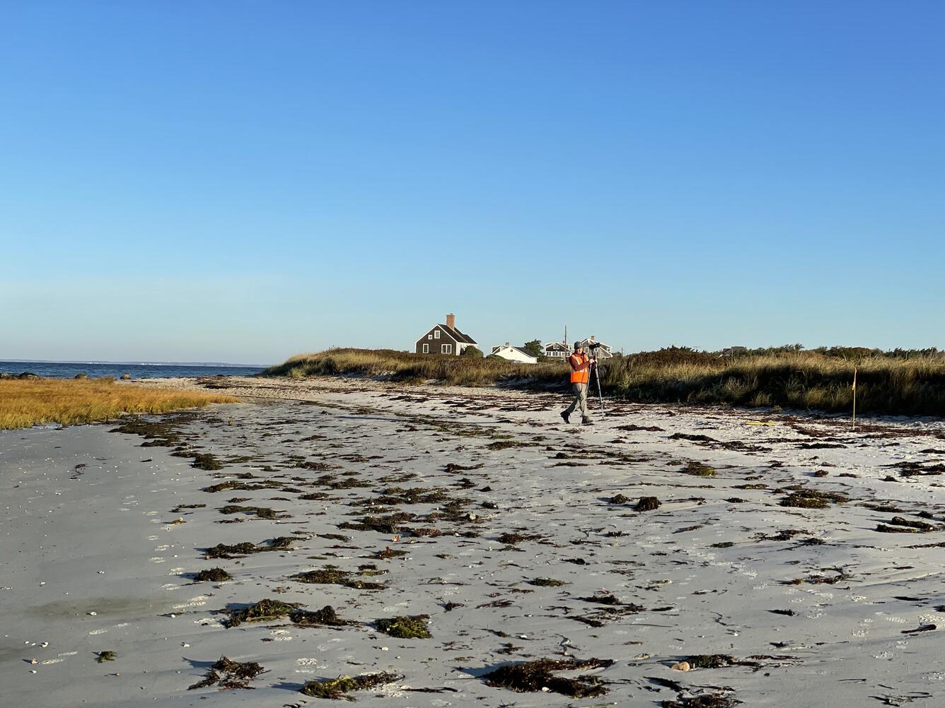
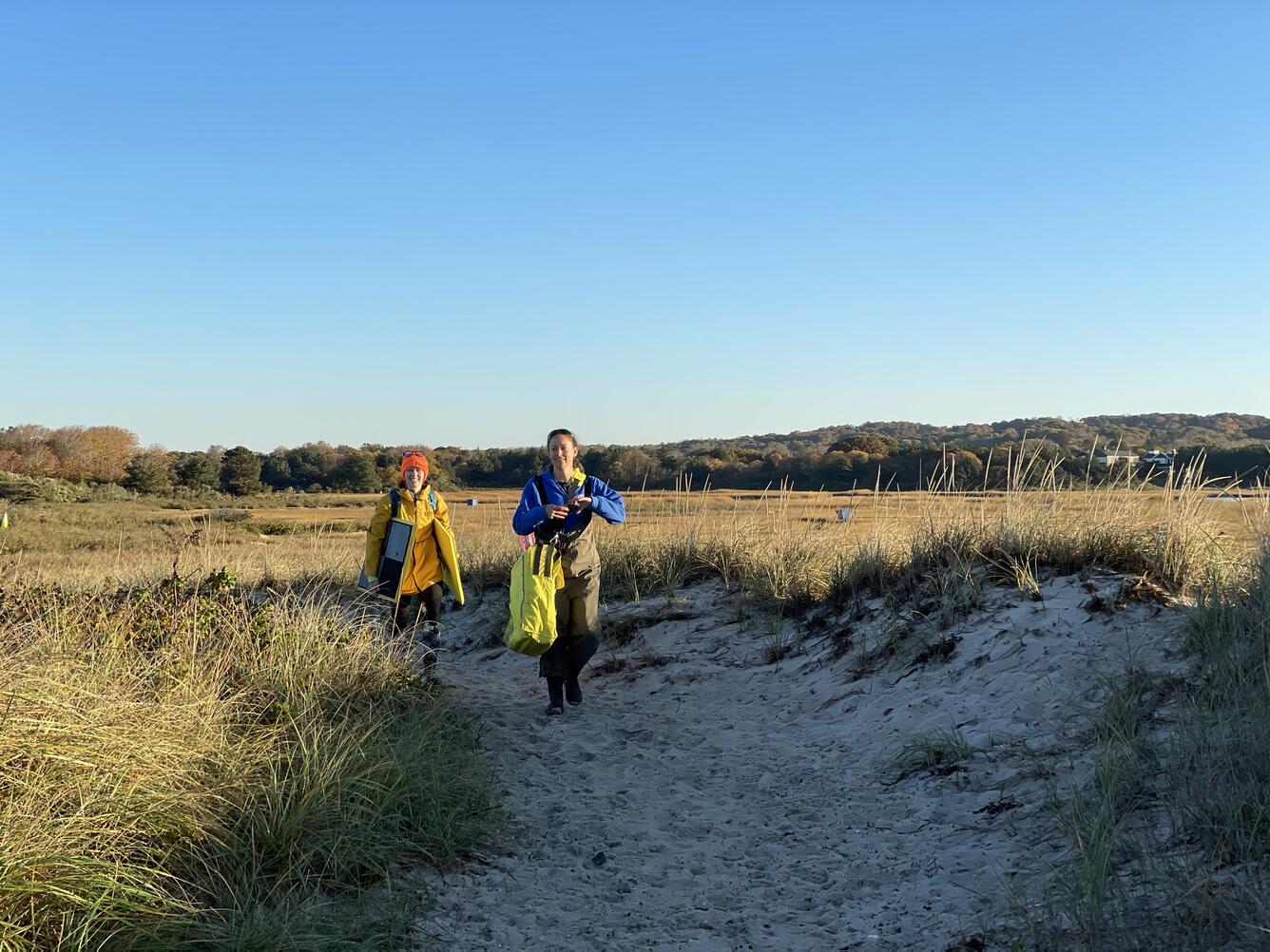


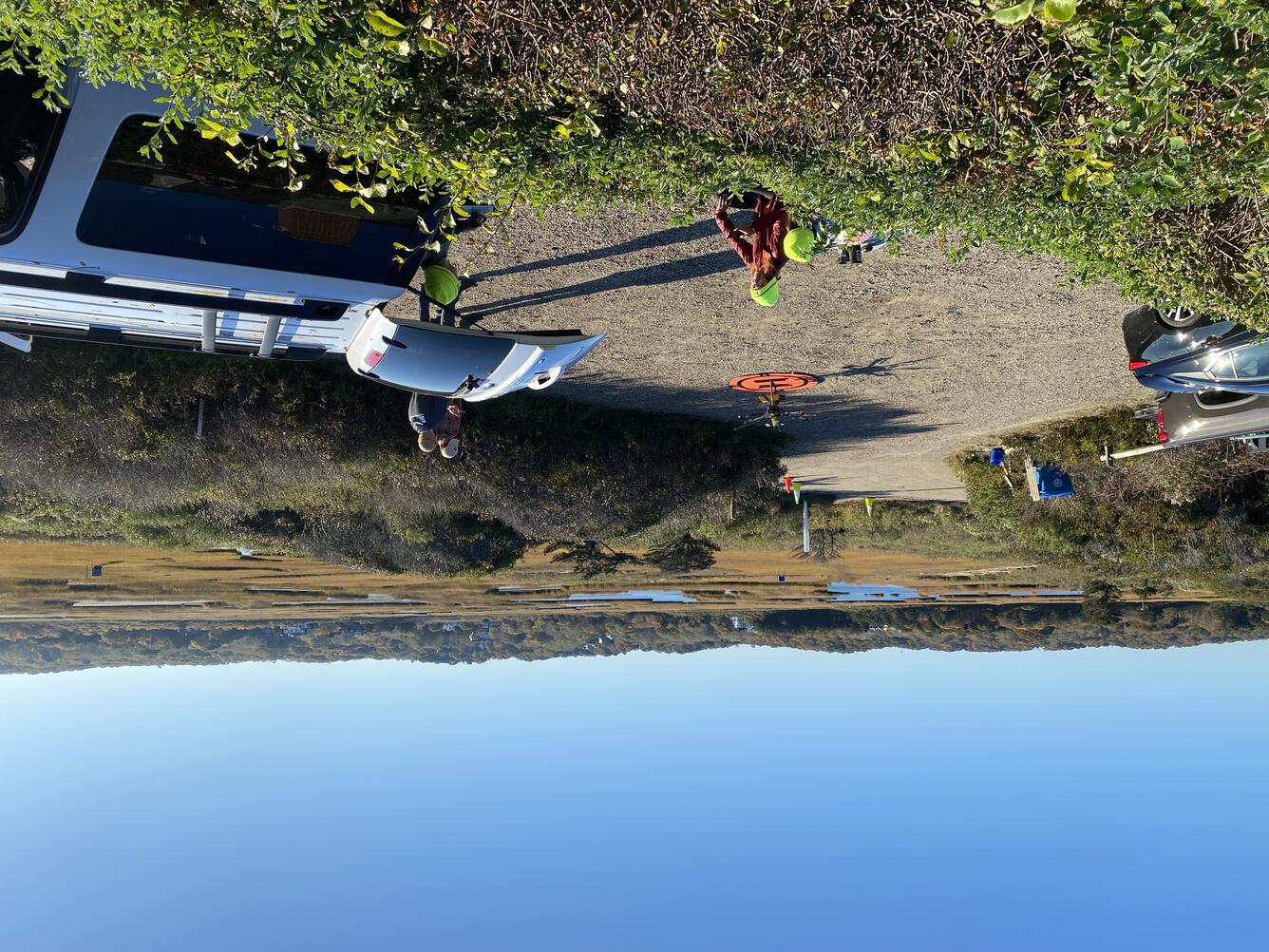
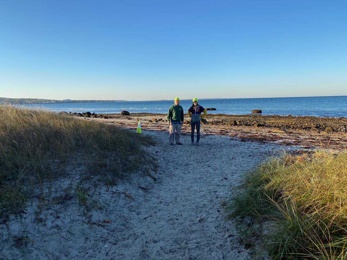
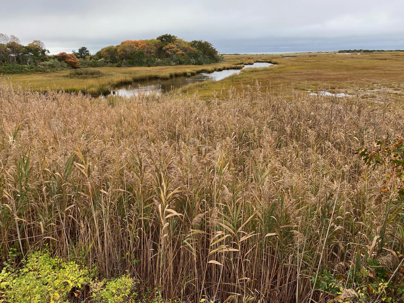
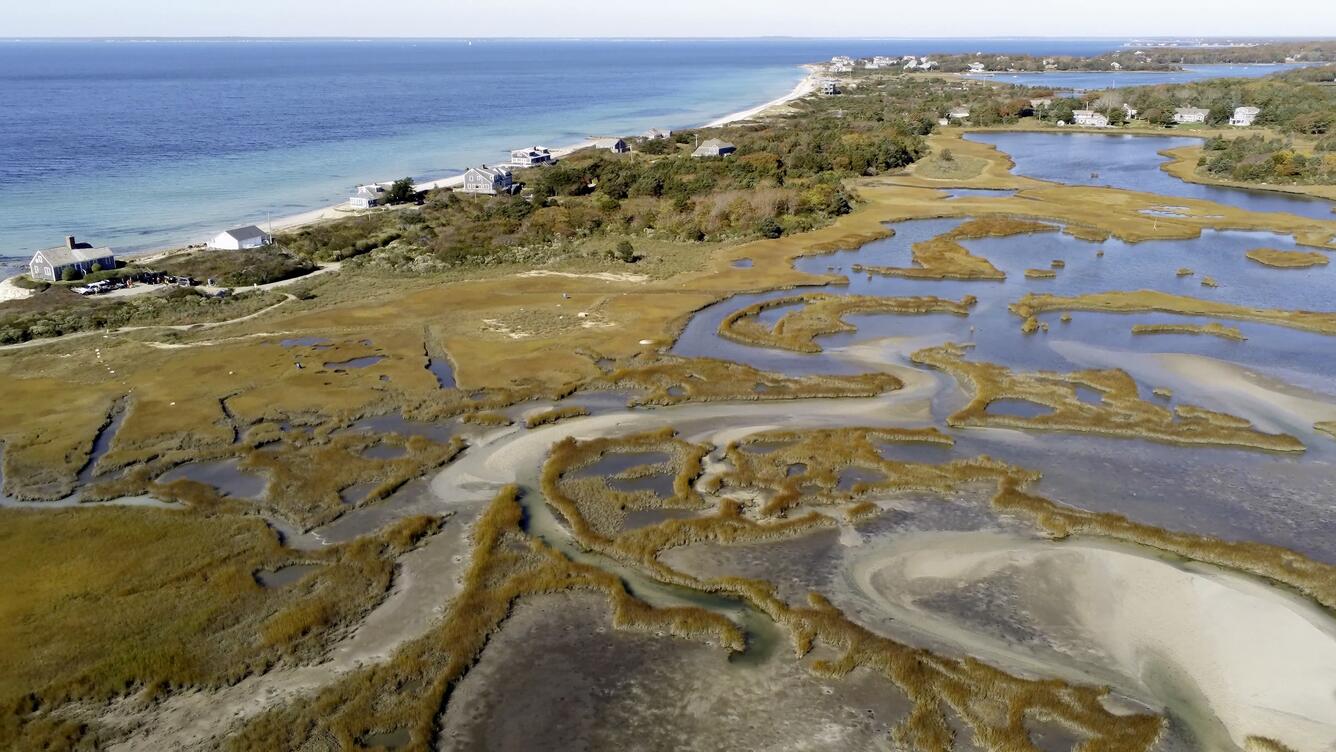
As part of the workshop, attendees ventured to Great Sippewissett Marsh in Falmouth, Massachusetts for data collection. With this data, they created a bare earth surface model used to estimate the area’s surface elevation to be used to help create a vegetation volume estimate, and a seamless computer-generated image composed of aerial photographs, or an orthomosaic, of the area to help identify specific vegetation species. The USGS staff in attendance are now better equipped to process and analyze sUAS lidar data.
Workshop participants included WHCMSC Aerial Imaging and Mapping group members Jen Cramer, Jin-Si Over, Xandra Evans, Seth Ackerman, and Sandy Brosnahan, WHCMSC Seafloor Mapping Group members Alex Nichols and Pat Berube, and hydrologist Chris Gazoorian and physical scientist Shannon Fisher of the USGS New York Water Science Center.


Subscribe to the Sound Waves Newsletter to stay updated on coastal and marine news from across the USGS!
Related

National Uncrewed Systems Office

Sea Floor Mapping Group

Aerial Imaging and Mapping
Discover more coastal and marine news in the Sound Waves Newsletter.

Sound Waves Newsletter - December 2022-February 2023 Sound Waves Newsletter - December 2022-February 2023
Related
National Uncrewed Systems Office
Sea Floor Mapping Group
Aerial Imaging and Mapping
Discover more coastal and marine news in the Sound Waves Newsletter.