


Monitoring Volcanoes Using ASTER Satellite Imagery
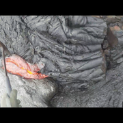
Monitoring Volcanoes Using ASTER Satellite ImageryThe Advanced Spaceborne Thermal Emission and Reflection Radiometer (ASTER) sensor is one of five sensors on board NASA's Terra satellite. ASTER data and imagery are crucial tools for monitoring volcanoes for any clues of imminent eruptions, for studying volcanoes during an eruption, and for analyzing impacts after an eruption.


