Landsat 2
Landsat 2 Story Map
The second iteration of what was then known as the Earth Resources Technology Satellite (ERTS) launched onboard a Delta 2910 rocket on Jan. 22, 1975.
Originally named ERTS-B, the satellite was renamed Landsat 2 by then, becoming the first orbiter in the program to bear the now familiar handle.
Landsat 2 was the first sign of a long-term commitment to a program that had already returned vital scientific information about the Earth’s surface.
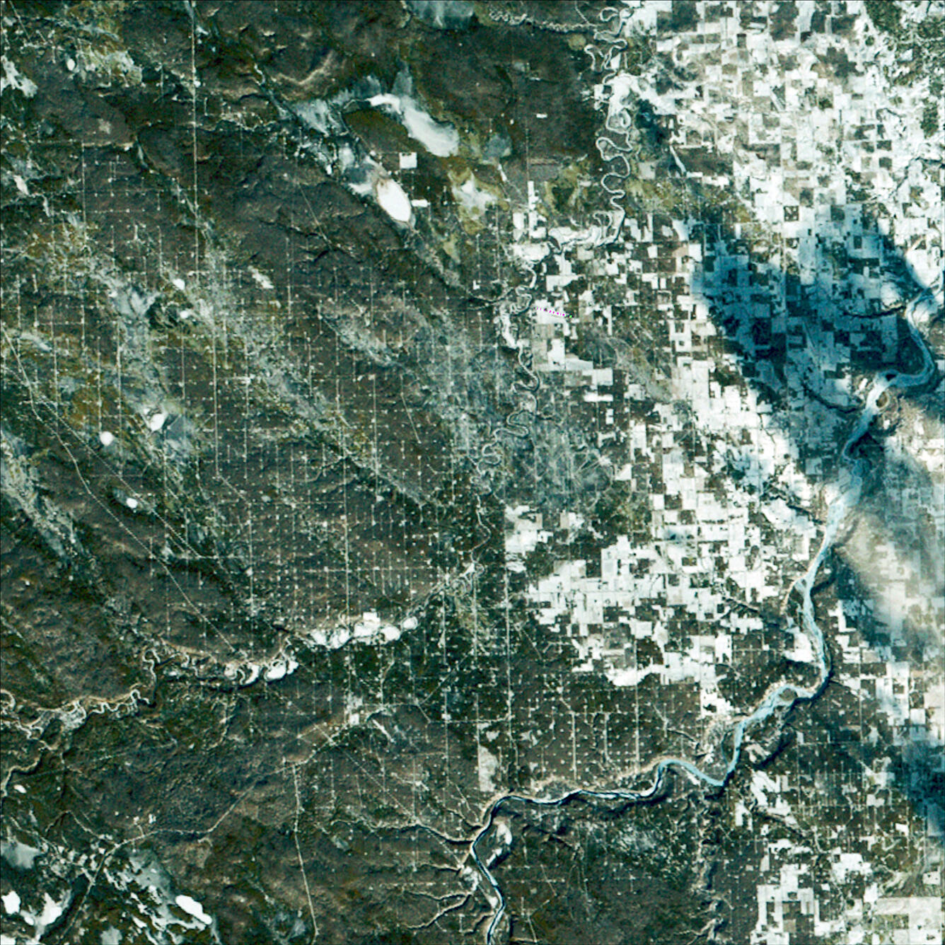
Data from its MSS fed into the Large Area Crop Inventory Experiment (LACIE), a landmark test case for satellite data that saw research teams with NASA, NOAA, and the USDA working to calculate wheat yields worldwide using information gathered in low Earth orbit.
Landsat 2 remained in service from 1975 through 1982, collecting more than 335,000 images of the Earth’s surface.
Visit the full Landsat 2 page on the Landsat Missions website.
Landsat 2 First Light Image