



Landsat Satellite and Ground-Systems Operations
The Landsat Ground System provides the operational infrastructure for active Landsat missions. It enables teams to monitor and control the satellites, receive data collected by onboard sensors, and process, archive, and distribute high-quality science products.
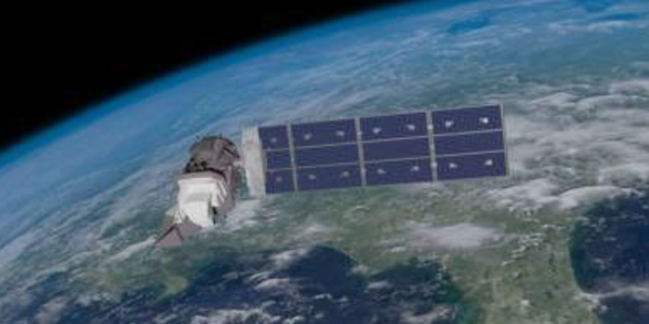
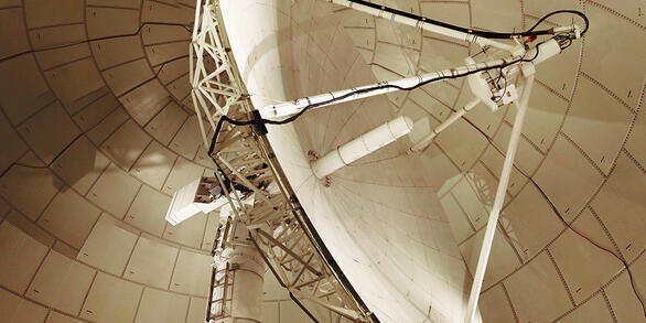
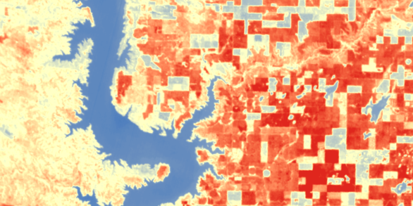
The USGS Landsat Ground System (GS) is an integrated operational architecture that ensures active Landsat missions delivers reliable, high‑quality Earth observation information every day. The GS is made up of three components:
- The Landsat Multi‑Satellite Operations Center (LMOC) commands and monitors the spacecraft by planning and directing orbit maneuvers, scheduling daily acquisitions, and monitoring satellite health.
- The Landsat Ground Network (LGN) provides the communication infrastructure linking the satellites with Earth, transmitting commands and receiving spacecraft telemetry and science data through a coordinated network of domestic and international ground stations.
- The Data Processing and Archive System (DPAS) ingests and processes Landsat data, preserves them in the USGS archive, and makes calibrated science products available to users worldwide.
Together, these components create an end-to-end operational chain that enables Landsat’s unmatched data continuity, ensuring that every scene collected from orbit becomes a trusted, long‑term record preserved in the National Satellite Land Remote Sensing Data Archive at the USGS EROS Center in Sioux Falls, SD. This infrastructure supports Landsat‘s role as the foundational resource for global land-change science.
Related
Landsat Missions Timeline
In a September 21, 1966 press release, Secretary of the Interior Stewart Udall announced that the DOI was launching "Project EROS (Earth Resources Observation Satellites)." Udall's vision was to observe the Earth for the benefit of all. Since the July 23, 1972 launch of the Earth Resources Technology Satellite (ERTS-1, later renamed Landsat 1), the joint U.S. Geological Survey / NASA Landsat...
Related
Landsat Missions Timeline
In a September 21, 1966 press release, Secretary of the Interior Stewart Udall announced that the DOI was launching "Project EROS (Earth Resources Observation Satellites)." Udall's vision was to observe the Earth for the benefit of all. Since the July 23, 1972 launch of the Earth Resources Technology Satellite (ERTS-1, later renamed Landsat 1), the joint U.S. Geological Survey / NASA Landsat...