
2-speed sailing winch used by the Illinois Field Office to make low-flow measurements on a tagline.
Images
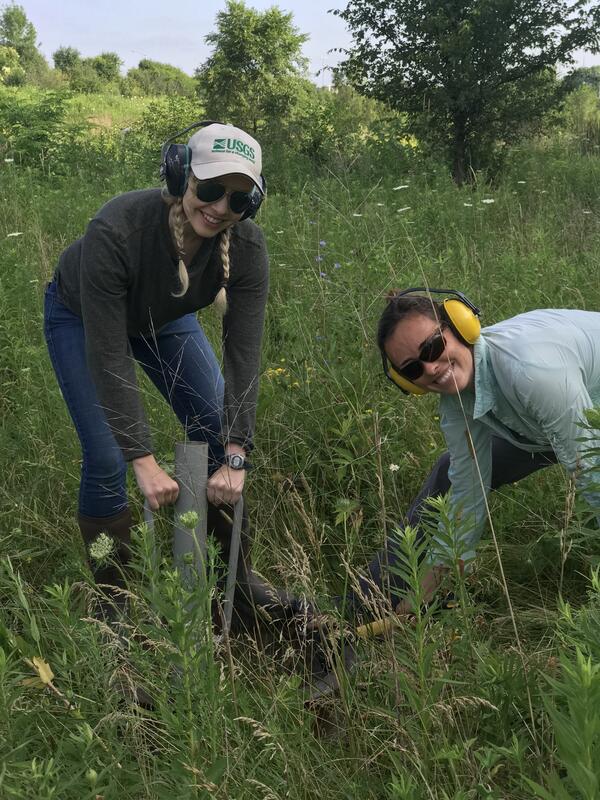
Explore water-related photography, imagery, and illustrations.
Filter Total Items: 2527

two speed sailing winch
2-speed sailing winch used by the Illinois Field Office to make low-flow measurements on a tagline.

Tethered Boat Deployment
Photograph of tethered boat deployed downstream from a bridge.
Photograph of tethered boat deployed downstream from a bridge.

Remote Control Boat Deployment 2
Q-Boat 1800RP for swift flow.
Q-Boat 1800RP for swift flow.

Young Moose, Glacial Ridge National Wildlife Refuge
Young Moose, Glacial Ridge National Wildlife RefugeYoung moose near Benoit, Minnesota, Glacial Ridge National Wildlife Refuge
Young Moose, Glacial Ridge National Wildlife Refuge
Young Moose, Glacial Ridge National Wildlife RefugeYoung moose near Benoit, Minnesota, Glacial Ridge National Wildlife Refuge

Wetlands, Glacial Ridge National Wildlife Refuge
Ephemeral wetlands at Glacial Ridge National Wildlife Refuge
Ephemeral wetlands at Glacial Ridge National Wildlife Refuge

USGS Louisville KY Main Office
A frontal view of the USGS Water Science Center in Louisville, Kentucky.
A frontal view of the USGS Water Science Center in Louisville, Kentucky.
USGS scientists install a double ring infiltrometer
USGS scientists install a double ring infiltrometerIn this photo, USGS scientists Megan Haserodt (Hydrologist) and Jenelle Wempner (Student Intern) install a double ring infiltrometer along a recreated floodplain of Underwood Creek, a tributary to the Milwaukee River and Lake Michigan in Milwaukee, Wisconsin.

Photo of an installed fixed-mount thermal infrared camera on a gage
Photo of an installed fixed-mount thermal infrared camera on a gagePhoto of a newly installed fixed-mount thermal infrared camera installed on the USGS Platte Kill at Dunraven NY streamgage in the Neversink River watershed.
Photo of an installed fixed-mount thermal infrared camera on a gage
Photo of an installed fixed-mount thermal infrared camera on a gagePhoto of a newly installed fixed-mount thermal infrared camera installed on the USGS Platte Kill at Dunraven NY streamgage in the Neversink River watershed.

USGS employee prepares unmanned aerial vehicle for takeoff
USGS employee prepares unmanned aerial vehicle for takeoffUSGS employee John Fulton prepares an unmanned aerial vehicle for take off. This particular drone referred to as "Q-Cam" measures surface water stream velocity. Combined with a second drone, non-contact discharge measurements can be made.

USGS employees point out the newly installed thermal camera
USGS employees point out the newly installed thermal cameraUSGS scientists Adam Baldwin and Chris Gazoorian (USGS New York Water Science Center) point out the newly installed fixed-mount thermal infrared camera installed on the USGS Platte Kill at Dunraven NY streamgage in t

Example of Accoustic Profiler Orientations
Profilers measure velocities in uniformly-sized cells or bins along the acoustic beams (fig 1). By measuring velocities in a number of bins across a channel or vertically through the water column, these instruments produce horizontal or vertical water velocity profiles, hence the designation "profiler.
Profilers measure velocities in uniformly-sized cells or bins along the acoustic beams (fig 1). By measuring velocities in a number of bins across a channel or vertically through the water column, these instruments produce horizontal or vertical water velocity profiles, hence the designation "profiler.

AVM Schematic
The AVM measures the average water velocity along the acoustic path (VP, figure 1); then computes the "line velocity," the velocity component parallel with the average downstream flow line.
The AVM measures the average water velocity along the acoustic path (VP, figure 1); then computes the "line velocity," the velocity component parallel with the average downstream flow line.

Bottom Mount With Recovery Buoy
Illustration of a typical remotely recoverable sub-surface deployment.
Illustration of a typical remotely recoverable sub-surface deployment.

PVC Pipe Bottom Mount
6" PVC pipe is weighted to allow an ADVM/ADCP to be deployed in a vertical or "uplooker" configuration.
6" PVC pipe is weighted to allow an ADVM/ADCP to be deployed in a vertical or "uplooker" configuration.

Moving Boat Mount 2
Old custom made Kentucky-style mount on several different boats from Kentucky and Illinois deploying both Broadband (BB) and Rio Grande ADCPs. A pole can be fixed to the mount for deploying a GPS antenna located on top of the ADCP. The Kentucky-style mount constructed of Speed Rail is recommended for Rio Grande Workhorse, RiverPro, RioPro, and Sontek M9.
Old custom made Kentucky-style mount on several different boats from Kentucky and Illinois deploying both Broadband (BB) and Rio Grande ADCPs. A pole can be fixed to the mount for deploying a GPS antenna located on top of the ADCP. The Kentucky-style mount constructed of Speed Rail is recommended for Rio Grande Workhorse, RiverPro, RioPro, and Sontek M9.

Tethered boat Deployment 2
Photograph of tethered boat being deployed from a manned cableway.
Photograph of tethered boat being deployed from a manned cableway.


Oceanscience River Boat 2
Planview photograph of the OceanScience Riverboat.
Planview photograph of the OceanScience Riverboat.

Trimaran deployment 1
Photograph of OceanScience, Inc. rough water trimaran boat for the StreamPro.
Photograph of OceanScience, Inc. rough water trimaran boat for the StreamPro.

USGS Hydrologist at Work, Glacial Ridge Refuge
USGS hydrologist Tim Cowdery titrates water alkalinity in a mobile sampling van using an electronic field form.
USGS hydrologist Tim Cowdery titrates water alkalinity in a mobile sampling van using an electronic field form.

Prairie at Glacial Ridge Refuge
Beach-ridge prairie at Glacial Ridge National Wildlife Refuge
Beach-ridge prairie at Glacial Ridge National Wildlife Refuge