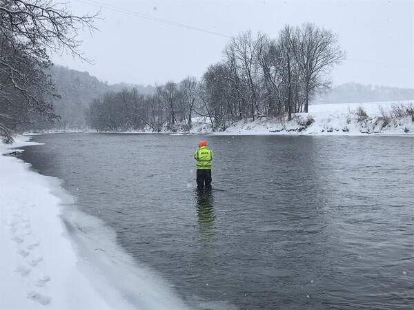
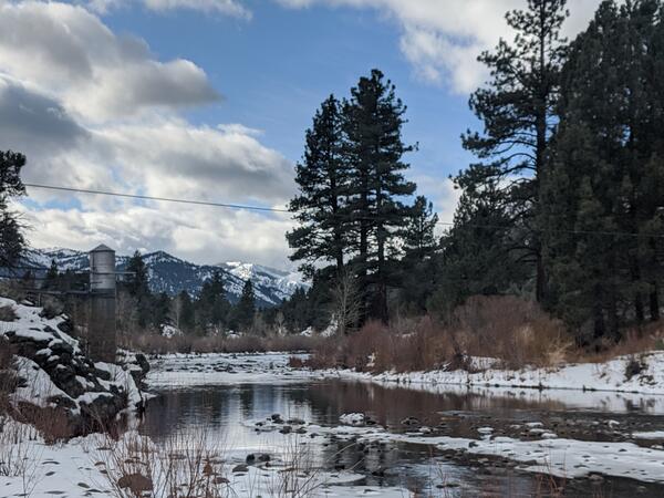
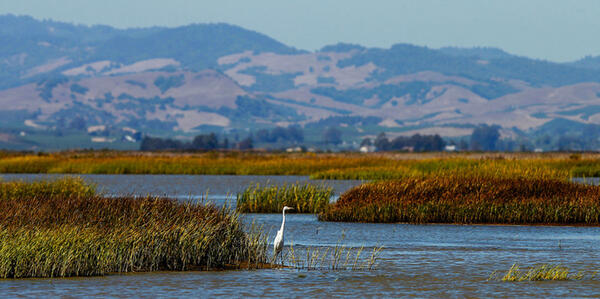
National Integrated Water Availability Assessments concept map
National Integrated Water Availability Assessments concept mapThe USGS National Integrated Water Availability Assessments (IWAAs) concept map shows daily estimates of natural water storage (water present on the landscape such as standing water, snowpack, soil water, and shallow groundwater) for approximately 110,00