Cableway on North Santiam River at Niagara, Oregon
Cableway on North Santiam River at Niagara, OregonCableway on North Santiam River at Niagara, Oregon (Site number 14181500)

Official websites use .gov
A .gov website belongs to an official government organization in the United States.
Secure .gov websites use HTTPS
A lock () or https:// means you’ve safely connected to the .gov website. Share sensitive information only on official, secure websites.
Access all multimedia to include images, video, audio, webcams, before-after imagery, and more. Filter and explore with filtering options to refine search.

Cableway on North Santiam River at Niagara, Oregon (Site number 14181500)
Cableway on North Santiam River at Niagara, Oregon (Site number 14181500)

The USGS Earth Mapping Resources Initiative and USGS 3D Elevation Program (3DEP), Department of Energy Geothermal Technologies Office, Natural Resources Conservation Services, and Bureau of Land Management have partnered to conduct airborne geophysical and 3DEP lidar surveys over parts of Nevada and California to collect information on undiscovered geothermal, criti
The USGS Earth Mapping Resources Initiative and USGS 3D Elevation Program (3DEP), Department of Energy Geothermal Technologies Office, Natural Resources Conservation Services, and Bureau of Land Management have partnered to conduct airborne geophysical and 3DEP lidar surveys over parts of Nevada and California to collect information on undiscovered geothermal, criti

GNSS site LKWY, which was visited in September 2020 to install new GNSS equipment and upgrade the communications for improved data quality. The site is now capable of collecting several times more observation data then was possible with the original older equipment.
GNSS site LKWY, which was visited in September 2020 to install new GNSS equipment and upgrade the communications for improved data quality. The site is now capable of collecting several times more observation data then was possible with the original older equipment.

The inside of a borehole seismometer equipment enclosure is full of batteries, cables, data communications equipment and data recording instruments. Some of the geodetic infrastructure in Yellowstone National Park is colocated with seismic equipment. In this case, the communications downlink radio for the GNSS station is housed with the borehole enc
The inside of a borehole seismometer equipment enclosure is full of batteries, cables, data communications equipment and data recording instruments. Some of the geodetic infrastructure in Yellowstone National Park is colocated with seismic equipment. In this case, the communications downlink radio for the GNSS station is housed with the borehole enc

As Hurricane Sally approached the US Gulf Coast, the USGS Coastal Change Hazards team produced a series of forecasts for impacts on the beach. Forecasts were updated daily based on wave and storm surge forecasts from NOAA.
As Hurricane Sally approached the US Gulf Coast, the USGS Coastal Change Hazards team produced a series of forecasts for impacts on the beach. Forecasts were updated daily based on wave and storm surge forecasts from NOAA.

As Hurricane Sally approached the US Gulf Coast, the USGS Coastal Change Hazards team produced a series of forecasts for impacts on the beach. Forecasts were updated daily based on wave and storm surge forecasts from NOAA.
As Hurricane Sally approached the US Gulf Coast, the USGS Coastal Change Hazards team produced a series of forecasts for impacts on the beach. Forecasts were updated daily based on wave and storm surge forecasts from NOAA.

An overview of LCMAP Collection 1 Science Products: Annual Land Cover Change
An overview of LCMAP Collection 1 Science Products: Annual Land Cover Change

This is a high resolution image for the whiteboard series Ornithologist coloring page.
This is a high resolution image for the whiteboard series Ornithologist coloring page.

Stream gage on Blue River at Blue River, Oregon, (Site number 14162200)
Stream gage on Blue River at Blue River, Oregon, (Site number 14162200)

Stream gage on McKenzie River near Vida, Oregon (Site number 14162500)
Stream gage on McKenzie River near Vida, Oregon (Site number 14162500)

Stream gage on South Fork McKenzie River near Rainbow, Oregon (Site number 14159500)
Stream gage on South Fork McKenzie River near Rainbow, Oregon (Site number 14159500)

In this NOAA satellite image from Sept. 15, 2020, Hurricane Sally approaches the U.S. Gulf Coast, Hurricane Paulettte creates storm waves far out in the Atlantic, and Tropical Storms Teddy and Vicky lie near the coast of Africa. Two tropical depressions are also developing; one of them is not visible in this image.
In this NOAA satellite image from Sept. 15, 2020, Hurricane Sally approaches the U.S. Gulf Coast, Hurricane Paulettte creates storm waves far out in the Atlantic, and Tropical Storms Teddy and Vicky lie near the coast of Africa. Two tropical depressions are also developing; one of them is not visible in this image.

Interviews with employees working with the USGS MD-DE-DC Water Science Center
Interviews with employees working with the USGS MD-DE-DC Water Science Center

As fire season continues in the western United States let's look back at a number of incidents tracked by officials across California in August. These fires were captured during the day by Landsats 7 and 8, in natural color bands of the visible spectrum. Landsat sensors also record infrared wavelengths revealing burn scars and active fires.
As fire season continues in the western United States let's look back at a number of incidents tracked by officials across California in August. These fires were captured during the day by Landsats 7 and 8, in natural color bands of the visible spectrum. Landsat sensors also record infrared wavelengths revealing burn scars and active fires.

USGS scientist John Fulton measures streamflow on Middle Fork Ranch Creek, Colorado using instream, conventional methods. USGS radar equipment is also shown recording non-contact river discharge.
USGS scientist John Fulton measures streamflow on Middle Fork Ranch Creek, Colorado using instream, conventional methods. USGS radar equipment is also shown recording non-contact river discharge.

Photographs from an eastern gray squirrel (Sciurus carolinensis) found dead in Wisconsin, U.S.A. (A) The lung contained multifocal firm red areas (arrows) and multifocal areas of hemorrhage (arrowhead). (B) Firm areas are red to tan on cut section and airways contain mucoid red to tan fluid.
Photographs from an eastern gray squirrel (Sciurus carolinensis) found dead in Wisconsin, U.S.A. (A) The lung contained multifocal firm red areas (arrows) and multifocal areas of hemorrhage (arrowhead). (B) Firm areas are red to tan on cut section and airways contain mucoid red to tan fluid.

On the surface of Kīlauea's new landscape, a story is told
On the surface of Kīlauea's new landscape, a story is told

Scientists Collect Water Quality Data Prior to Wastewater Treatment Plant Upgrades
Scientists Collect Water Quality Data Prior to Wastewater Treatment Plant Upgrades

Welcome to the “I Am A..." series, a whiteboard animation video series highlighting USGS careers.
Welcome to the “I Am A..." series, a whiteboard animation video series highlighting USGS careers.
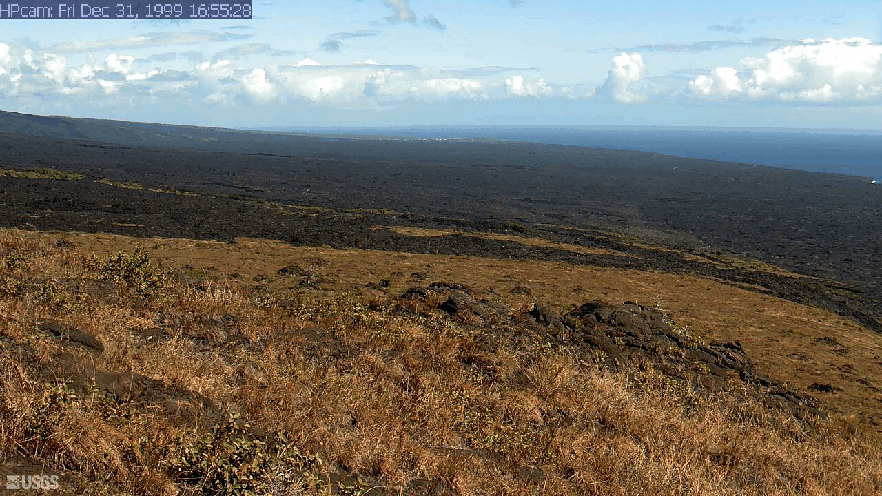
Last 24 Hours - Holei Pali from Holei Pali [HPcam]
Last 24 Hours - Holei Pali from Holei Pali [HPcam]

Last 24 Hours - Live image of Halemaʻumaʻu from the west rim of Kīlauea Caldera [K3cam].
Last 24 Hours - Live image of Halemaʻumaʻu from the west rim of Kīlauea Caldera [K3cam].