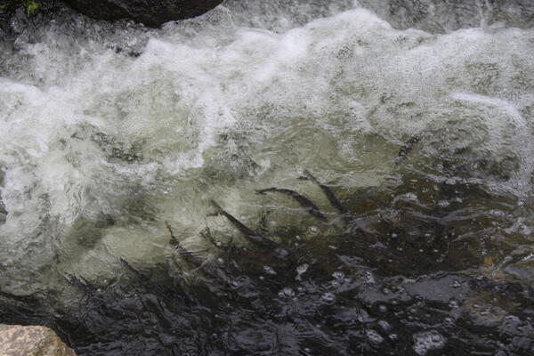
White River at Hazelton IN - water quality equipment on bridge pier
White River at Hazelton IN - water quality equipment on bridge pierWhite River at Hazelton IN - water quality equipment on bridge pier

Official websites use .gov
A .gov website belongs to an official government organization in the United States.
Secure .gov websites use HTTPS
A lock () or https:// means you’ve safely connected to the .gov website. Share sensitive information only on official, secure websites.
Explore our planet through photography and imagery, including climate change and water all the way back to the 1800s when the USGS was surveying the country by horse and buggy.

White River at Hazelton IN - water quality equipment on bridge pier
White River at Hazelton IN - water quality equipment on bridge pier

White River at Hazelton, IN - bridge at site location
White River at Hazelton, IN - bridge at site location

A helicopter towing a large, cylindrical sensor will make low-level flights over parts of Cedar Rapids, Iowa, as part of a groundwater survey in May 2017.
A helicopter towing a large, cylindrical sensor will make low-level flights over parts of Cedar Rapids, Iowa, as part of a groundwater survey in May 2017.

Researchers examine a bat (Myotis sp.) to test for the fungus that causes white-nose syndrome.
Researchers examine a bat (Myotis sp.) to test for the fungus that causes white-nose syndrome.

Brown patches and brown stems show stress in this phagmites (roseau cane) stand in Pass A Loutre Wildlife Management Area, a tract of state-owned land in Louisiana's bird foot delta, where the Mississippi River meets the Gulf of Mexico. An ongoing phragmites was first discovered in spring 2017 and blamed on an invasive scale insect from Asia.
Brown patches and brown stems show stress in this phagmites (roseau cane) stand in Pass A Loutre Wildlife Management Area, a tract of state-owned land in Louisiana's bird foot delta, where the Mississippi River meets the Gulf of Mexico. An ongoing phragmites was first discovered in spring 2017 and blamed on an invasive scale insect from Asia.

USGS scientists measuring streamflow on Rapid Creek above Canyon Lake and collecting water-quality samples in May 2017.
USGS scientists measuring streamflow on Rapid Creek above Canyon Lake and collecting water-quality samples in May 2017.

Some single-celled green algae in the desmid family are symmetrical, with two halves joined by a bridge containing the cell’s nucleus. USGS biologist Barry H. Rosen and colleagues have been sampling desmids in Florida’s Loxahatchee National Wildlife Refuge for more than a year.
Some single-celled green algae in the desmid family are symmetrical, with two halves joined by a bridge containing the cell’s nucleus. USGS biologist Barry H. Rosen and colleagues have been sampling desmids in Florida’s Loxahatchee National Wildlife Refuge for more than a year.

Shenandoah mobile laboratory fathead minnow experiment station
Shenandoah mobile laboratory fathead minnow experiment station

USGS employee Aaron Walsh performing wire weight measurement in record flood at gage 7018500 Big River at Byrnesville, MO
USGS employee Aaron Walsh performing wire weight measurement in record flood at gage 7018500 Big River at Byrnesville, MO

USGS hydrologic technician measures floodwaters along Flat Creek near Jenkins, Missouri using an Acoustic Doppler Current Profiling instrument.
USGS hydrologic technician measures floodwaters along Flat Creek near Jenkins, Missouri using an Acoustic Doppler Current Profiling instrument.

USGS hydrologic technician Christopher Rowden verifies the accuracy of streamgage information at the Jacks Fork River at Eminence, Missouri.
USGS hydrologic technician Christopher Rowden verifies the accuracy of streamgage information at the Jacks Fork River at Eminence, Missouri.
Adult alewife spring spawning migration at Stony Brook River in Brewster, Massachusetts. Credit: Michelle Staudinger
Adult alewife spring spawning migration at Stony Brook River in Brewster, Massachusetts. Credit: Michelle Staudinger

NJ Department of Environmental Protection scientists collecting smallmouth bass from the Delaware River near Lambertville, NJ.
NJ Department of Environmental Protection scientists collecting smallmouth bass from the Delaware River near Lambertville, NJ.

Early this morning the lava lake level was measured at 12.5 m (41 ft) below the vent rim, the highest level the lake reached this month. But, at around 8:30 a.m., summit inflation switched to deflation and the lava lake level began to drop.
Early this morning the lava lake level was measured at 12.5 m (41 ft) below the vent rim, the highest level the lake reached this month. But, at around 8:30 a.m., summit inflation switched to deflation and the lava lake level began to drop.

USGS scientists are working alongside University researchers in Alaska to understand how groundwater and permafrost conditions change over time due to seasonal variations and climate change. View down the oil pipeline through one April 2017 study area. (April 2017)
USGS scientists are working alongside University researchers in Alaska to understand how groundwater and permafrost conditions change over time due to seasonal variations and climate change. View down the oil pipeline through one April 2017 study area. (April 2017)

Research Hydrologist Neil Terry (USGS) collects ground-penetrating radar (GPR) data along an oil pipeline in Alaska. (April 2017)
Research Hydrologist Neil Terry (USGS) collects ground-penetrating radar (GPR) data along an oil pipeline in Alaska. (April 2017)

Helicopters are often used to carry scientists and equipment to remote study areas in Alaska. In this photo, a ground-penetrating radar (GPR) unit is securely strapped to the side of the helicopter. (April 2017)
Helicopters are often used to carry scientists and equipment to remote study areas in Alaska. In this photo, a ground-penetrating radar (GPR) unit is securely strapped to the side of the helicopter. (April 2017)

Research Hydrologist Martin Briggs (USGS) tows ground-penetrating radar (GPR) during field work in Alaska. (April 2017)
Research Hydrologist Martin Briggs (USGS) tows ground-penetrating radar (GPR) during field work in Alaska. (April 2017)

Research Hydrologist Martin Briggs (USGS) collects ground-penetrating radar (GPR) data. He is wearing special ice cleats on his shoes to have better traction walking on the ice. (April 2017)
Research Hydrologist Martin Briggs (USGS) collects ground-penetrating radar (GPR) data. He is wearing special ice cleats on his shoes to have better traction walking on the ice. (April 2017)

USGS Research Geophysicist Andy Kass (left, in orange) adjusts surface nuclear magnetic resonance equipment (NMR) with input from collaborators Eliot Grunewald (Vista Clara), Alex Huryn (University of Alabama), and Patrick Hendrickson (University of Colorado). NMR is being used to measure the distribution of liquid water in the subsurface. (April 2017)
USGS Research Geophysicist Andy Kass (left, in orange) adjusts surface nuclear magnetic resonance equipment (NMR) with input from collaborators Eliot Grunewald (Vista Clara), Alex Huryn (University of Alabama), and Patrick Hendrickson (University of Colorado). NMR is being used to measure the distribution of liquid water in the subsurface. (April 2017)

Mount St. Helens monitoring station SEP buried in about 10-15 ft of snow. Station stands approximately 8 ft tall and is located to the right of the person in this photo. April 21, 2018
Mount St. Helens monitoring station SEP buried in about 10-15 ft of snow. Station stands approximately 8 ft tall and is located to the right of the person in this photo. April 21, 2018