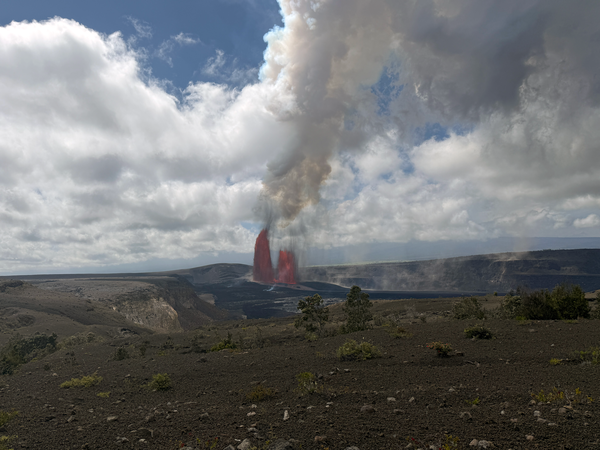
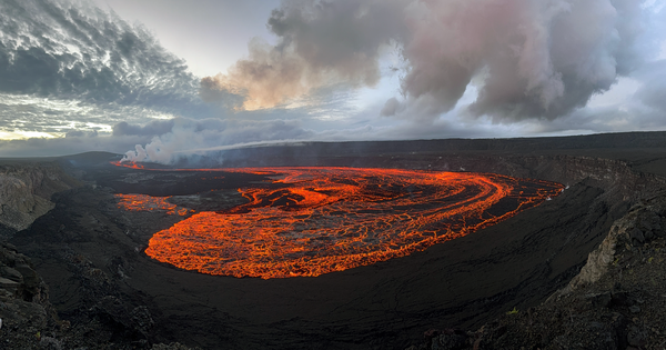
Episode 43 of the ongoing Halema‘uma‘u eruption at Kīlauea summit
Episode 43 of the ongoing Halema‘uma‘u eruption at Kīlauea summitEpisode 43 of the ongoing Halema‘uma‘u eruption at Kīlauea summit ended at 6:21 p.m. HST on March 10. About 15 minutes after the end of the episode, USGS scientists serviced a webcam near Keanakāko‘i on the southeast caldera rim. Active lava flows continued to slowly advance along the crater floor, and stand out here in the low lighting.


")
")
")
")
")