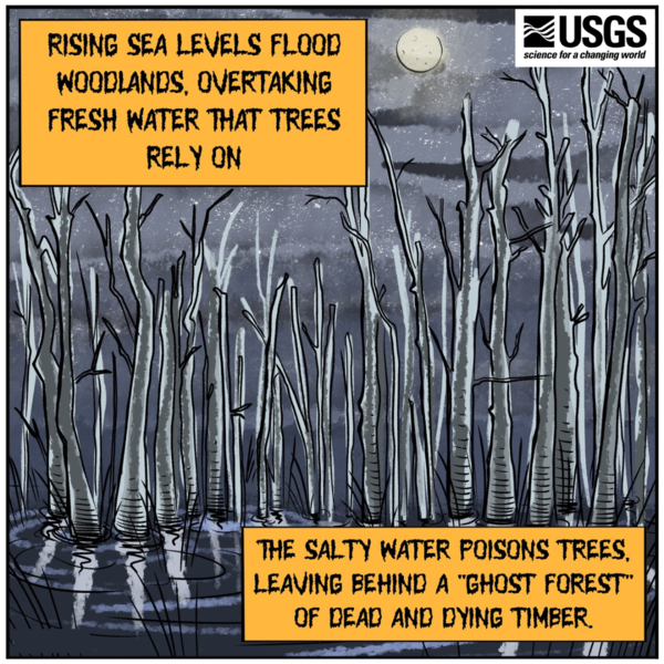
Rising sea levels inundate coastal forests across the Northeast and Southeast coasts, drowning tree roots in salty water. The seawater kills sensitive trees, leaving behind a "ghost forest" of dead and dying timber.
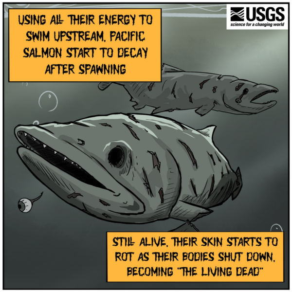
Created by ORISE Fellow Ben Slyngstad.