Flowing well used for stock water, Green River Basin
Flowing well used for stock water, Green River BasinFlowing well used for stock water, Green River Basin

Official websites use .gov
A .gov website belongs to an official government organization in the United States.
Secure .gov websites use HTTPS
A lock () or https:// means you’ve safely connected to the .gov website. Share sensitive information only on official, secure websites.

Flowing well used for stock water, Green River Basin
Flowing well used for stock water, Green River Basin

Windmill and cattle near Big Piney

Beryl Spring's strongly boiling blue pool is about 8 m (25 ft) wide and contains high-chloride liquid water with a near-neutral pH. Immediately behind the pool is a loud, hissing fumarole producing a white cloud of steam. USGS Photo by Pat Shanks, 2002.
Beryl Spring's strongly boiling blue pool is about 8 m (25 ft) wide and contains high-chloride liquid water with a near-neutral pH. Immediately behind the pool is a loud, hissing fumarole producing a white cloud of steam. USGS Photo by Pat Shanks, 2002.

Wind turbines working in Wyoming.
Wind turbines working in Wyoming.

Looking upstream from bridge, Tongue river, Monarch

Ice jam, Powder River near Arvada (06317000)

When looking for a place to set up a capture location, biologists look for existing bear sign such as scratches on trees and bear scat. Sometimes traps are set in areas that have no obvious bear sign to determine if indeed bears are present.
When looking for a place to set up a capture location, biologists look for existing bear sign such as scratches on trees and bear scat. Sometimes traps are set in areas that have no obvious bear sign to determine if indeed bears are present.

Photo of the Old Faithful Inn lobby, which features a six-story-tall fireplace and chimney made from rocks quarried form a rhyolite lava flow in Yellowstone. NPS photo by Jim Peaco, July 22, 2013.
Photo of the Old Faithful Inn lobby, which features a six-story-tall fireplace and chimney made from rocks quarried form a rhyolite lava flow in Yellowstone. NPS photo by Jim Peaco, July 22, 2013.
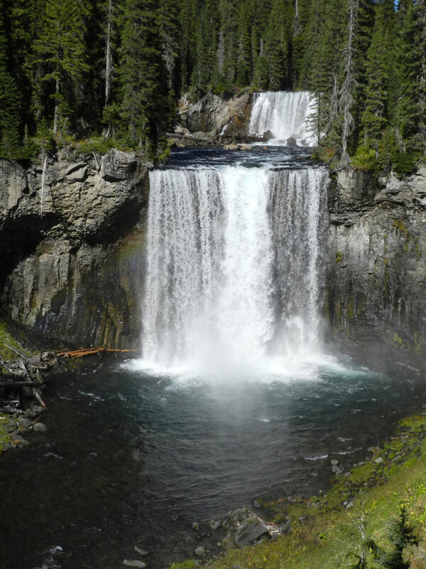
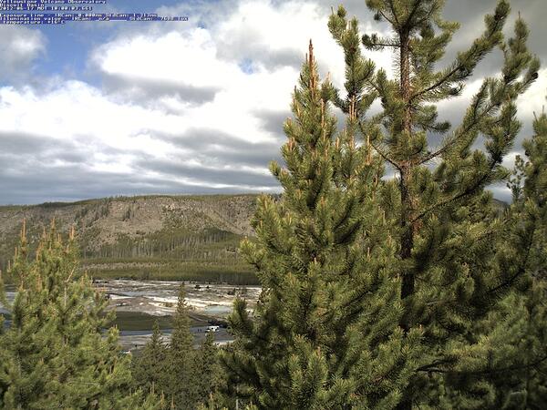
Image of Biscuit Basin (visible between the trees) captured by the YVO mobile webcam on June 17, 2012, when it was positioned on a hill just east of the basin.
Image of Biscuit Basin (visible between the trees) captured by the YVO mobile webcam on June 17, 2012, when it was positioned on a hill just east of the basin.

Map of historic and current sage-grouse range in 2000, provided as a download from the old USGS Sagemap website.
Map of historic and current sage-grouse range in 2000, provided as a download from the old USGS Sagemap website.
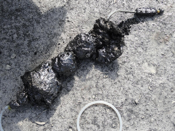
Sulfur “cinder” attached to a sampling tube that was extracted from Cinder Pool in Norris Geyser Basin. The “cinder” is sulfur that existed as a molten layer at the bottom of the pool and was carried upward by gas and solidified. The black color is due to the presence of finely dispersed pyrite.
Sulfur “cinder” attached to a sampling tube that was extracted from Cinder Pool in Norris Geyser Basin. The “cinder” is sulfur that existed as a molten layer at the bottom of the pool and was carried upward by gas and solidified. The black color is due to the presence of finely dispersed pyrite.

Elk in the Beartooth Mountains, Wyoming. The USGS and partners study the effects of climate change on the Greater Yellowstone Ecosystem.
Elk in the Beartooth Mountains, Wyoming. The USGS and partners study the effects of climate change on the Greater Yellowstone Ecosystem.

Measuring streamflow using ADCP, Fish Creek

Gagehouse at 06225500 Wind River near Crowheart WY right before it washed away.
Jul 01 2011; 13,900 ft3/s
Gagehouse at 06225500 Wind River near Crowheart WY right before it washed away.
Jul 01 2011; 13,900 ft3/s

USGS hydrographer Jerrod Wheeler (in cablecar) measures flood flows right before the gagehouse washes away.
06225500 Wind River near Crowheart, WY: Jul 01 2011; 13,900 ft3/s
USGS hydrographer Jerrod Wheeler (in cablecar) measures flood flows right before the gagehouse washes away.
06225500 Wind River near Crowheart, WY: Jul 01 2011; 13,900 ft3/s

Real-time Groundwater Streamgage equipment set up

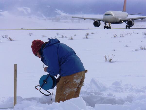
Collecting a groundwater sample using a mobile laboratory at Jackson Hole Airport
Collecting a groundwater sample using a mobile laboratory at Jackson Hole Airport

View of Jackson Hole Airport and the Teton Range
Taking a water-level measurement in a monitoring well at Jackson Hole Airport.
Taking a water-level measurement in a monitoring well at Jackson Hole Airport.
