
Hydrography
Center of Excellence for Geospatial Information Science (CEGIS)
CEGIS research investigates methods to generate, update, and enhance cartographic representations of the surface water of the U.S. and its territories, known as hydrography.
Numerous geospatial data collection and analysis techniques are used for this purpose, such as surface water modeling, remote sensing, and cartographic generalization.
Cartographic representation
Water has been represented on maps as lines, shapes and images for ages.
We still use blue lines for streams and polygons, a shape with a perimeter, for lakes. But now the shapes and lines can have other data attached to them and can change as we zoom in and out as our map view changes.
Various cartographic generalization operations are required for this task.
Modeling surface water
Modeling hydrology is the use of computers to simulate the behavior of water on earth.
Hydrologic modeling has been employed for a long time for things like predicting the risk of floods given a certain amount of rain or how building structures like bridges might impact stream flow.
Research is underway to adapt modeling tools for use in mapping streams.
Remote sensing
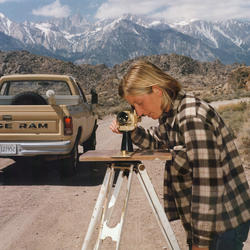
From small cameras to big satellites, remote sensing involves using sensors to measure things from a distance and is an important tool for mapping.
The large extent of the United States makes measuring and mapping the ever-changing surface water a huge challenge.
Remote sensing allows us to understand where and when water is collecting on the earth surface.

2026 18th CEGIS Annual Research Meeting
2025 CEGIS Annual Research Meeting
Remote sensing
Cartographic representation

Modeling surface water
