U.S. flag

An official website of the United States government

Fort Collins Science Center

Welcome to the Fort Collins Science Center (FORT) located in Fort Collins, Colorado, just east of the Rocky Mountains. At FORT we develop and disseminate research-based information and tools needed to understand the nation’s natural resources in support of effective decision making.

News

Tree rings provide an important multi-century context for the current wildfire crisis

Tree rings provide an important multi-century context for the current wildfire crisis

April Science You Can Use newsletter features wildfire risk mitigation research from USGS and collaborators

April Science You Can Use newsletter features wildfire risk mitigation research from USGS and collaborators

Amphibian Week with USGS: Science for Healthy Habitats

Amphibian Week with USGS: Science for Healthy Habitats

Publications

Practical guidance for engaging end-users and experts in developing scientific tools Practical guidance for engaging end-users and experts in developing scientific tools

This report provides actionable guidance for scientists developing scientific tools that inform on-the-ground decision making. Scientific tools, in the context of this report, are technology or protocols that help practitioners collect and analyze their own data, and information products and web tools that practitioners could use to inform decisions. Engaging end-users and fellow experts...
Authors
Kaylin R. Clements, James J. English, Emily J. Wilkins, Megan A. Moore, Rudy Schuster

Variability and consistency in wildfire susceptibility: Insights from a national compilation Variability and consistency in wildfire susceptibility: Insights from a national compilation

Background Wildfire risk in the United States is rising and remains a land management priority. The quantitative wildfire risk assessment (QWRA) framework integrates fuels, topography, weather and values at risk to estimate the potential change in value from wildfire. Within this, response functions (RFs) represent how values respond to fire intensity. These are often based on expert...
Authors
Aaron Daniel Russell, Lucas Bair, James R. Meldrum, Todd Hawbaker

Modeling chronic wasting disease transmission risk in mule deer related to habitat characteristics Modeling chronic wasting disease transmission risk in mule deer related to habitat characteristics

Chronic wasting disease (CWD) is a prion disease of cervids that spreads to uninfected individuals through direct transmission (contact with infected individuals), vertical transmission (from mother to offspring), or indirect transmission (exposure to contaminated environments). The risk of indirect transmission is unevenly distributed on the landscape, and risk levels are expected to be
Authors
Erica Meta Christensen, Nathan J. Kleist, David R. Edmunds, Julie A. Heinrichs, D. Joanne Saher, Ashley L. Whipple, Melia DeVivo, Cameron L. Aldridge

Science

Using Artificial Intelligence to Estimate Traffic to Improve Planning and Access to Colorado’s Public Lands
This project applies data-driven, machine‑learning methods to estimate average annual daily traffic on roads that connect people to Colorado’s public lands, where traffic data are sparse or nonexistent. Expanding on successful applications in Wyoming, the approach uses socioeconomic, land-use, roadway, and accessibility data to uniquely model traffic patterns from 2015 to 2025. These predictions...
Using Artificial Intelligence to Estimate Traffic to Improve Planning and Access to Colorado’s Public Lands

Using Artificial Intelligence to Estimate Traffic to Improve Planning and Access to Colorado’s Public Lands

This project applies data-driven, machine‑learning methods to estimate average annual daily traffic on roads that connect people to Colorado’s public lands, where traffic data are sparse or nonexistent. Expanding on successful applications in Wyoming, the approach uses socioeconomic, land-use, roadway, and accessibility data to uniquely model traffic patterns from 2015 to 2025. These predictions...
Learn More

Web application development to support decision making and deliver actionable science
FORT web applications support management decisions in the Department of the Interior (DOI) related to management of public lands, invasive species, outdoor recreation, and fish and wildlife health. These applications are developed in partnership with resource managers from Federal, State, local, and Tribal governments, industry, and nongovernmental organizations, empowering local and rural...
Web application development to support decision making and deliver actionable science

Web application development to support decision making and deliver actionable science
FORT web applications support management decisions in the Department of the Interior (DOI) related to management of public lands, invasive species, outdoor recreation, and fish and wildlife health. These applications are developed in partnership with resource managers from Federal, State, local, and Tribal governments, industry, and nongovernmental organizations, empowering local and rural...
Learn More

Shrubland, Alpine and Grassland Ecology (SAGE) Wildlife Research Group

The SAGE Wildlife Research Group consists of a large team of research scientists with an interest in conservation and management of wildlife and their ecosystems. Broadly, research involves understanding animal-habitat relationships, with an emphasis on conservation ecology and population demography, and a focus on shrubland, alpine, and grassland ecosystems. We are addressing the effects of...
Shrubland, Alpine and Grassland Ecology (SAGE) Wildlife Research Group

Shrubland, Alpine and Grassland Ecology (SAGE) Wildlife Research Group

The SAGE Wildlife Research Group consists of a large team of research scientists with an interest in conservation and management of wildlife and their ecosystems. Broadly, research involves understanding animal-habitat relationships, with an emphasis on conservation ecology and population demography, and a focus on shrubland, alpine, and grassland ecosystems. We are addressing the effects of...
Learn More

Multimedia

two people in yellow vests lean against an OHV, look up at drone flying above them, grasses and trees in background
USGS researchers test new UAS technology for locating invasive pythons in the Everglades
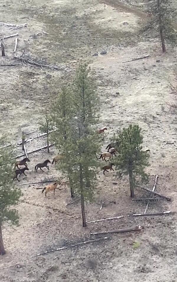
a group of horses running through tall trees and brown grasses a group of horses running through tall trees and brown grasses
Wild horses on the Warm Springs Reservation
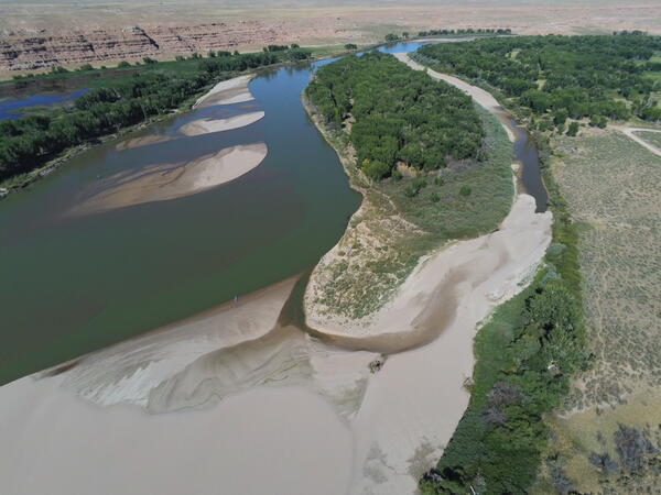
a blue-green river with many sand bars and beaches surrounded by trees and rock formations a blue-green river with many sand bars and beaches surrounded by trees and rock formations
Aerial footage of the Green River in Ouray National Wildlife Refuge
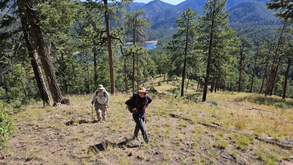
two people walking uphill through a pine forest, with a lake and mountains in the background
New Mexico Landscapes Field Station staff in the Santa Fe Watershed, New Mexico
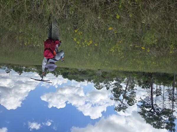
a person with red backpack and purple hat holds up a tracking device in a field with yellow flowers, trees in background
Tracking Burmese pythons in the Florida Everglades
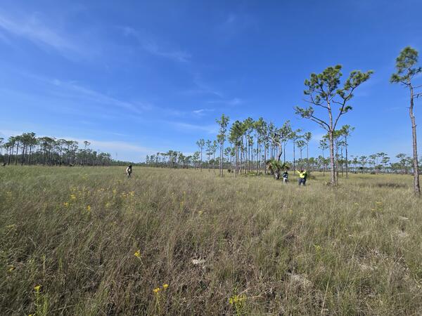
three people stand in a large prairie, with trees sparsely distributed throughout and blue sky above
Researchers search for pythons in Everglades prairie habitat
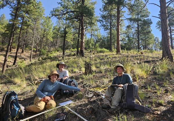
three people in field gear and with field equipment sit on a forest floor, with grasses and pine trees behind them
New Mexico Landscapes Field Station staff in the Santa Fe Watershed, New Mexico
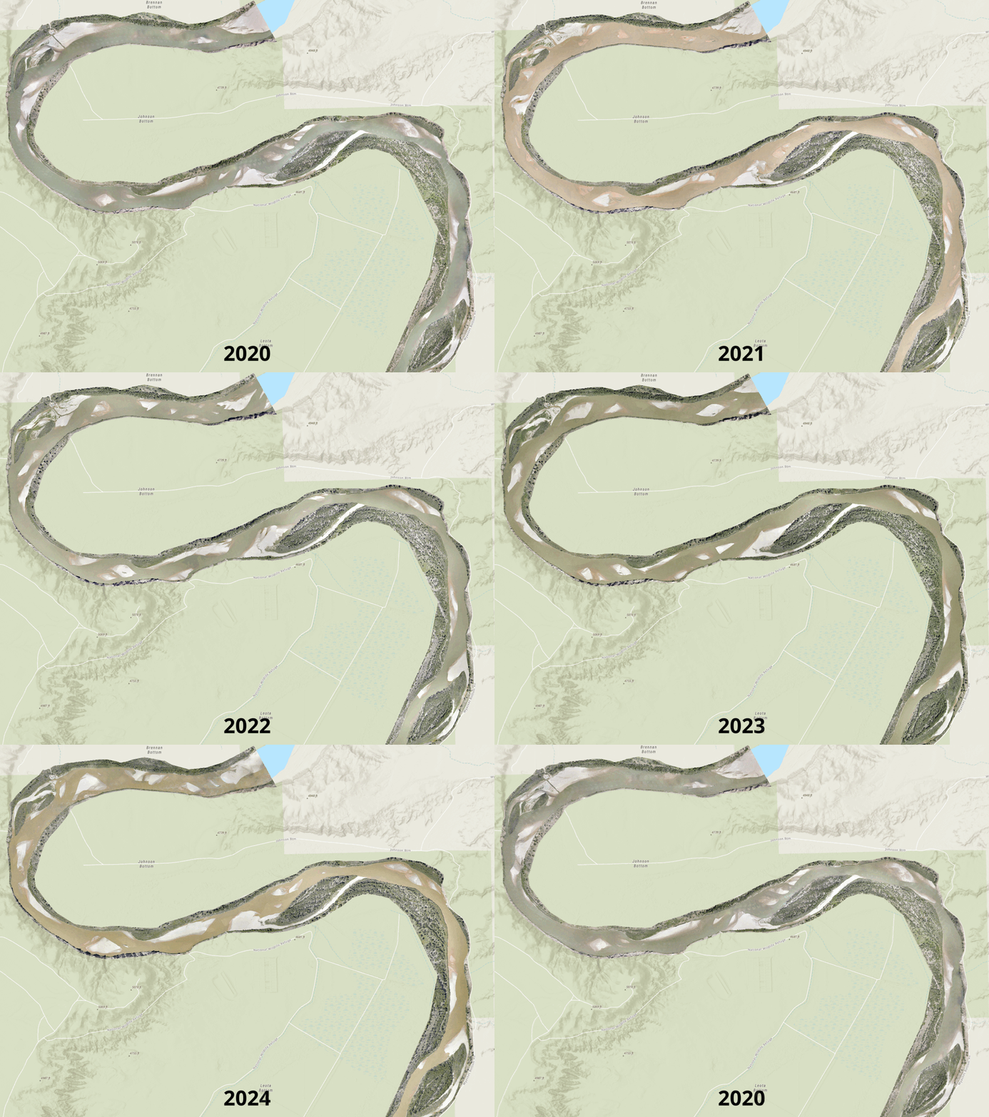
photo montage of yearly riverbed changes across 2020-2024
Channel and vegetation change along a 6-mile reach of the Middle Green River
Was this page helpful?