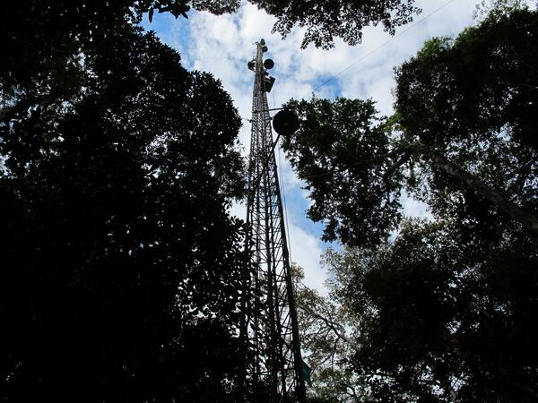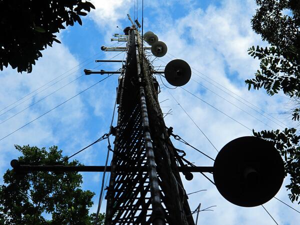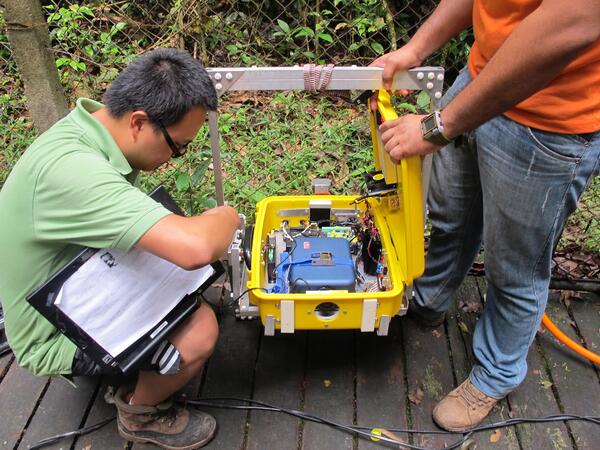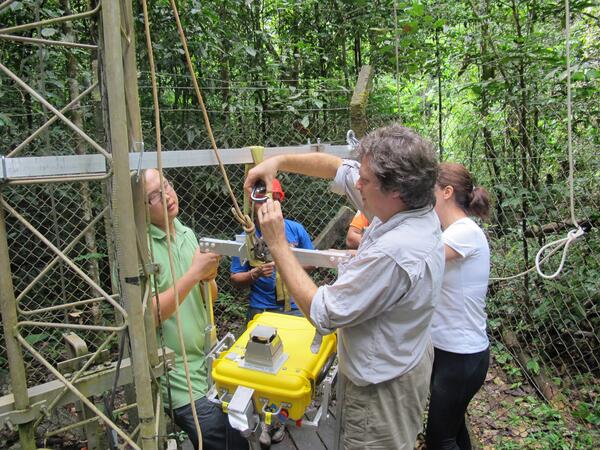
Scientists Install Remote Sensing Instrument Near Top of Amazon Observation Tower
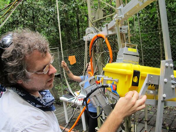
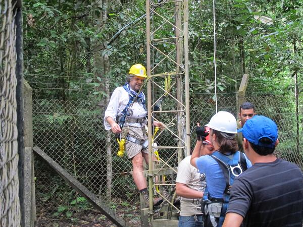
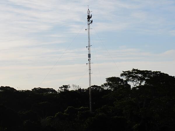
Scientists Install Remote Sensing Instrument Near Top of Amazon Observation TowerUSGS collaborator Scott Saleska (University of Arizona) and other team members install a remote sensing instrument near the top of a 213-foot (65-meter) tower at the Amazon forest study site near Santarém, Brazil. Data from the sensor system are being used by Saleska, USGS Geographer Dennis Dye and their U.S., Brazilian and Australian collaborators