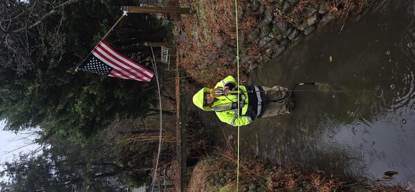
USGS hydrologic technician Chelsea Vande Pol collects a discharge measurement downstream of a storm drain in Hampton Roads, VA
USGS hydrologic technician Chelsea Vande Pol collects a discharge measurement downstream of a storm drain in Hampton Roads, VAUSGS hydrologic technician Chelsea Vande Pol collects a discharge measurement downstream of a storm drain in Hampton Roads, VA.
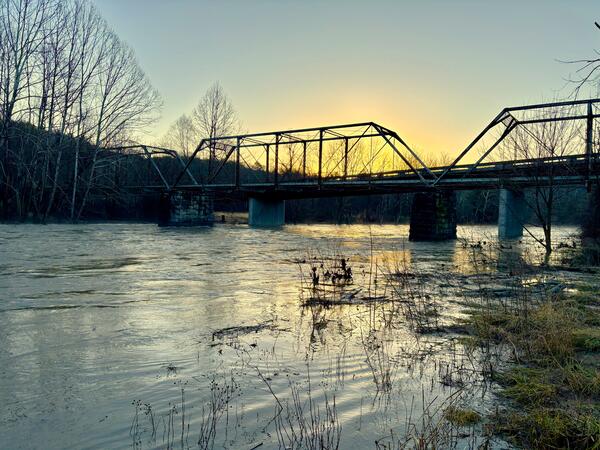
Winter 2025 Photo Contest Winner: Taylor Camper, Honorable Mention category