



The USGS produces national and regional climate data sets, including downscaled climate projections, to help resource managers and local communities understand potential effects of climate change in their areas.
Images
Explore photos, graphics, and illustrations related to projects from across the CASC Network. And be sure to check out our Climate Illustrations page, featuring free-to-download illustrations that help describe tricky climate concepts and explain how climate change affects the world around us.
Filter Total Items: 650

USGS Communicates Climate Info to Partners
The USGS produces national and regional climate data sets, including downscaled climate projections, to help resource managers and local communities understand potential effects of climate change in their areas.

Cottonwood Pass, Colorado
A view westward from Cottonwood Pass (Sawatch Range, Colorado, USA) into the Taylor Park basin. The peaks in the backgorund are composed of igneous and metamorphic rocks ranging in age from early Paleozoic to Eocene, uplifted along the Taylor Park fault.
A view westward from Cottonwood Pass (Sawatch Range, Colorado, USA) into the Taylor Park basin. The peaks in the backgorund are composed of igneous and metamorphic rocks ranging in age from early Paleozoic to Eocene, uplifted along the Taylor Park fault.
USGS Communicates Climate Info to Partners
The USGS produces national and regional climate data sets, including downscaled climate projections, to help resource managers and local communities understand potential effects of climate change in their areas.
The USGS produces national and regional climate data sets, including downscaled climate projections, to help resource managers and local communities understand potential effects of climate change in their areas.
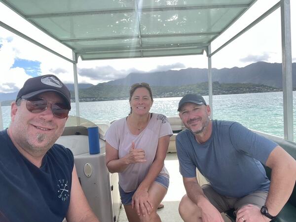
Meeting between PI-AK collaborators
Staff from the Pacific Islands and Alaska CASCs meet to discuss commonalities between their two regions.
Staff from the Pacific Islands and Alaska CASCs meet to discuss commonalities between their two regions.


Climate Horoscopes: Sagitarius
Sagittarius
True to their sign, EXTREME HEAT is overly generous with the temperature, and climate change helps to feed their fiery spirit. They should never be left alone near the thermostat.
Sagittarius
True to their sign, EXTREME HEAT is overly generous with the temperature, and climate change helps to feed their fiery spirit. They should never be left alone near the thermostat.


Fall Creek meets the Middle Willamette River flows
Fall Creek meets the Middle Willamette River flowsA striking contrast between the clear water in the Middle Fork Willamette River and brown water in Fall Creek. The flows from Fall Creek dam during this time had heavy loads of suspended sediment from the reservoir drawdown.

Night-blooming jasmine (Cestrum nocturnum), a highly invasive plant in Hawai‘i
Night-blooming jasmine (Cestrum nocturnum), a highly invasive plant in Hawai‘iNight-blooming jasmine (Cestrum nocturnum), a highly invasive plant in Hawai‘i.
Night-blooming jasmine (Cestrum nocturnum), a highly invasive plant in Hawai‘i
Night-blooming jasmine (Cestrum nocturnum), a highly invasive plant in Hawai‘iNight-blooming jasmine (Cestrum nocturnum), a highly invasive plant in Hawai‘i.

National Climate Change Viewer - High Resolution Map
National Climate Change Viewer - High Resolution MapClimate change data from the USGS National Climate Change Viewer tool is shown by US state and county for the contiguous US.
National Climate Change Viewer - High Resolution Map
National Climate Change Viewer - High Resolution MapClimate change data from the USGS National Climate Change Viewer tool is shown by US state and county for the contiguous US.

HBCU Climate Conference 1.jpg
CASC Fellow uses the USGS Career Cards to better understand what career opportunities may exists within the USGS.
CASC Fellow uses the USGS Career Cards to better understand what career opportunities may exists within the USGS.

HBCU Climate Conference 2.jpg
CASC Fellows visit exhibitors during the break to learn more about opportunities and projects supporting environmental and climate justice.
CASC Fellows visit exhibitors during the break to learn more about opportunities and projects supporting environmental and climate justice.

HBCU Climate Conference 3.jpg
USGS's Kirk Rodgers offers information on the science and data being conducted in the Southeast Region.
USGS's Kirk Rodgers offers information on the science and data being conducted in the Southeast Region.

Zombie Fires
A phenomenon in Arctic boreal forests, zombie fires ignite in warm months, lay dormant in the soil over winter, then resurrect when the weather warms!
Expanded alt text: A panel of illustrations shows a plane putting out a wildfire, the burnt forest during the winter, and a zombie hand on fire reaching out of the ground. Text is described above.

#ClimateCryptids: Sea Monsters
Everybody needs a beach day, right? And if you're a mythical snake-like sea monster, having a living shoreline to relax on is crucial! Living shorelines protect coastlines from storms and flooding and provide important habitat for creatures known and unknown.
Everybody needs a beach day, right? And if you're a mythical snake-like sea monster, having a living shoreline to relax on is crucial! Living shorelines protect coastlines from storms and flooding and provide important habitat for creatures known and unknown.