Hawaiian Volcano Observatory
Find U.S. Volcano
Learn More
Learn More
Settings
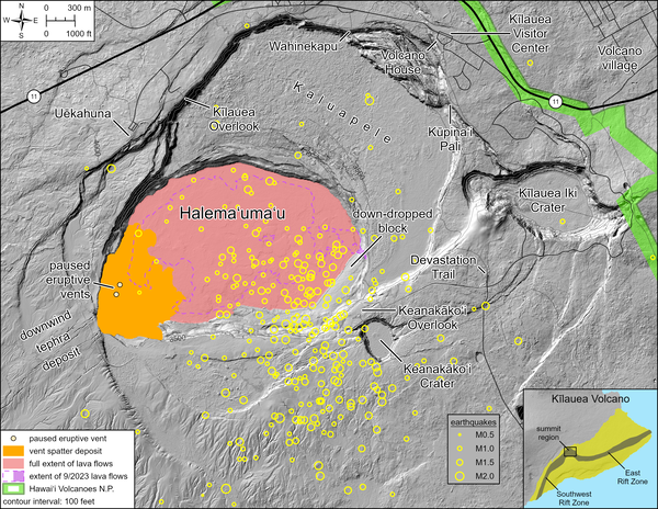
Map Legend
Map Legend
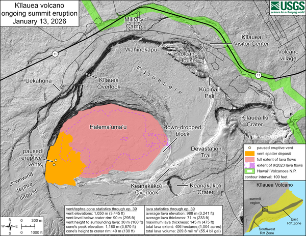
Current Updates and Notifications
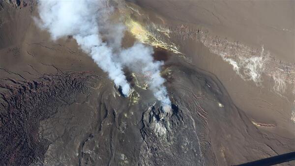
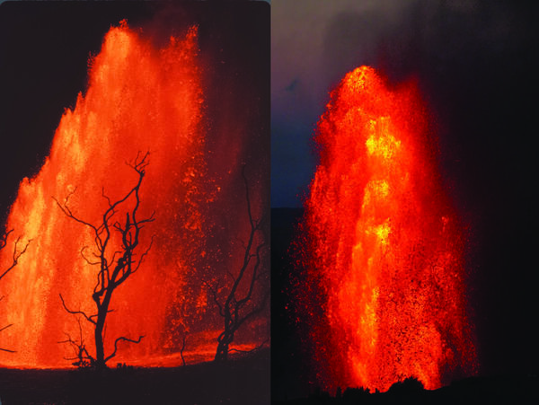
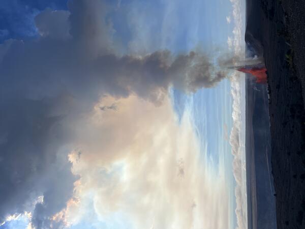
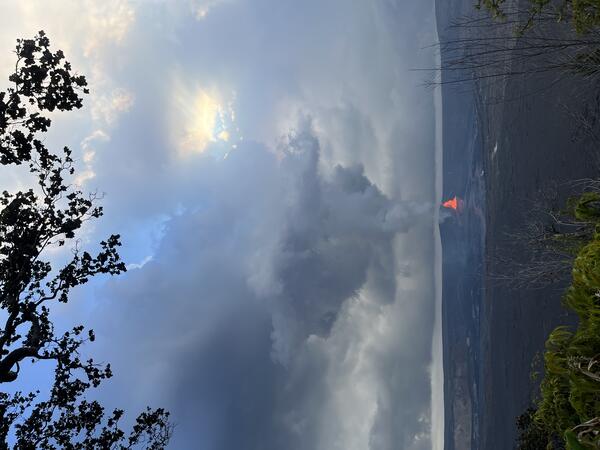
Kīlauea
HVO monitors earthquakes and the active volcanoes in Hawaii, assesses their hazards, issues warnings, and advances scientific understanding to reduce the impacts of volcanic eruptions. Communicating the results of our work to the public, emergency managers, and the scientific community is an important aspect of the HVO mission.
Please join us in January 2026 for Volcano Awareness Month - during which we feature in-person programs across the Island of Hawaiʻi with partner agencies. Click the green button below for more information and let us know if you have any questions at askHVO@usgs.gov.
Active Volcanoes in Hawaii
Very High Threat Potential
Kīlauea
Mauna Loa
High Threat Potential
Hualālai
Moderate Threat Potential
Haleakalā
Mauna Kea
Not Ranked
Kama‘ehuakanaloa (Lō‘ihi Seamount)
View the threat rankings of US Volcanoes