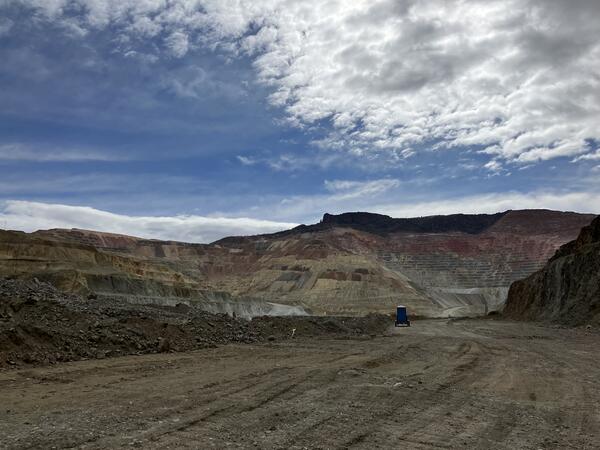
Images
Images
This map shows the airborne geophysical survey area and planned flight paths across the Illinois River Basin in Illinois and northwest Indiana. Surveys will not occur directly above populated areas. Planned flight lines and survey progress can be found online.
(USGS map)
This map shows the airborne geophysical survey area and planned flight paths across the Illinois River Basin in Illinois and northwest Indiana. Surveys will not occur directly above populated areas. Planned flight lines and survey progress can be found online.
(USGS map)
Pennington Mountain Critical Minerals Earth MRI Geophysical Scan
Pennington Mountain Critical Minerals Earth MRI Geophysical ScanThe anomaly at Pennington Mountain is visible in the geophysical data collected in aerial surveys conducted in 2021.
Pennington Mountain Critical Minerals Earth MRI Geophysical Scan
Pennington Mountain Critical Minerals Earth MRI Geophysical ScanThe anomaly at Pennington Mountain is visible in the geophysical data collected in aerial surveys conducted in 2021.
Return signal from the electromagnetic pulse administered to the ground by the WalkTEM instrument
Return signal from the electromagnetic pulse administered to the ground by the WalkTEM instrumentThe return signal from the electromagnetic pulse administered to the ground by the WalkTEM (transient electromagnetics (TEM)) instrument is displayed on the instrument during field data collection at a site in the Illinois River Basin.
WalkTEM instrument staged for collection of ground-based electromagnetic survey data at site in Illinois River Basin
WalkTEM instrument staged for collection of ground-based electromagnetic survey data at site in Illinois River BasinWalkTEM (transient electromagnetics (TEM)) instrument is staged for collection of ground-based electromagnetic survey data at a site in the Illinois River Basin.
Ground-based geophysical survey WalkTEM equipment set up prior to survey in Illinois River Basin
Ground-based geophysical survey WalkTEM equipment set up prior to survey in Illinois River BasinA ground-based geophysics survey using WalkTEM (transient electromagnetics (TEM)) is set up and ready to initiate at a site in the Illinois River Basin.
Piper Navajo fixed-wing aircraft with rear facing stinger magnetometer
Piper Navajo fixed-wing aircraft with rear facing stinger magnetometerA Piper Navajo fixed-wing aircraft with rear facing stinger magnetometer. Credit: New-Sense Geophysics Limited
Piper Navajo fixed-wing aircraft with rear facing stinger magnetometer
Piper Navajo fixed-wing aircraft with rear facing stinger magnetometerA Piper Navajo fixed-wing aircraft with rear facing stinger magnetometer. Credit: New-Sense Geophysics Limited
Arrastra Gulch, Silverton, CO Data Viewer screenshot
Arrastra Gulch, Silverton, CO Data Viewer screenshotScreenshot of interactive Arrastra Gulch, Silverton, CO 3D Data Viewer, available at https://geonarrative.usgs.gov/silverton/.
Arrastra Gulch, Silverton, CO Data Viewer screenshot
Arrastra Gulch, Silverton, CO Data Viewer screenshotScreenshot of interactive Arrastra Gulch, Silverton, CO 3D Data Viewer, available at https://geonarrative.usgs.gov/silverton/.
Helicopter with forward facing stinger magnetometer
Helicopter with forward facing stinger magnetometerAn AS350 helicopter with forward facing stinger magnetometer. Credit: New-Sense Geophysics Limited
Helicopter with forward facing stinger magnetometer
Helicopter with forward facing stinger magnetometerAn AS350 helicopter with forward facing stinger magnetometer. Credit: New-Sense Geophysics Limited
Pioneer Mountains metamorphic core complex – gray peaks (middle) are in the lower plate that is separated by a detachment fault on both sides, overlain by Ordovician through Silurian yellow metasedimentary units (right and middle left) that make up the middle plate which is separated by another detachment fault overlain by later Paleozoic units (left).
Reference reflectance site, a remote playa in Black Rock Desert, NV. The Hyperspectral Imaging of Mineral Resources from New and Old Origins project is using such sites to calibrate and validate data collected by imaging spectrometers (hyperspectral imagers) from aircraft and spacecraft.
Field Spectral Measurements in Black Rock Desert, NV
Field Spectral Measurements in Black Rock Desert, NVUSGS scientists Todd Hoefen (left) and John Meyer (right) make spectral measurements with a field portable spectrometer at a remote playa in Black Rock Desert, NV. These measurements are used to calibrate and validate data collected by imaging spectrometers (hyperspectral imagers) from aircraft and spacecraft.
Airborne geophysical surveys make use of a boom with sensitive equipment installed on small aircraft.
Earth MRI Airborne Geophysical Survey Helicopter with Boom
Earth MRI Airborne Geophysical Survey Helicopter with BoomA helicopter with a boom that contains sensitive equipment for conducting airborne geophysical surveys.
Earth MRI Airborne Geophysical Survey Helicopter with Boom
Earth MRI Airborne Geophysical Survey Helicopter with BoomA helicopter with a boom that contains sensitive equipment for conducting airborne geophysical surveys.
The short video is of a post laser ablation crater using a nanosecond 193nm laser ablation system of a glass slide using a 210 micron spot diameter and 250 shots. It shows a flat bottom crater indicative of a homogenized laser beam, though the measured diameter of the crater appears to be 25 microns smaller the diameter set. The 3D crater image was creat
Field Spectral Measurements in Smith Creek Playa, NV
Field Spectral Measurements in Smith Creek Playa, NVUSGS scientist Todd Hoefen makes spectral measurements with a field portable spectrometer at a remote playa in Black Rock Desert, NV. These measurements are used to calibrate and validate data collected by imaging spectrometers (hyperspectral imagers) from aircraft and spacecraft.
Historic Bayhorse mining district millsite in foreground to thick dolostone cliffs of disputed age--either Lower Ordovician or Neoproterozoic, a difference in interpretations of about 100 million years ago. The Bayhorse Mining district was one of the longest-running silver and lead producers in Idaho.
Laser ablation spot sizes | Denver High Resolution Laboratory
Laser ablation spot sizes | Denver High Resolution LaboratoryLaser ablation sport sizes: 65 µm, 35 µm, 10 µm, 5 µm, and 3 µm. The resolution approaches 3 micron resolution for sulfur isotope ratios measurements in sulfides.
Laser ablation spot sizes | Denver High Resolution Laboratory
Laser ablation spot sizes | Denver High Resolution LaboratoryLaser ablation sport sizes: 65 µm, 35 µm, 10 µm, 5 µm, and 3 µm. The resolution approaches 3 micron resolution for sulfur isotope ratios measurements in sulfides.
Pre-historic Nez Perce trail from the Wallowa Mountains of Oregon to the Great Plains to hunt bison. Ponderosa pine shows scars from the harvesting of cambium as a food source on those trips.
NP3 Plasma Shield Upgrade | Denver High Resolution Laboratory
NP3 Plasma Shield Upgrade | Denver High Resolution LaboratoryMulti Collector ICP Mass Spectrometer (MC-ICP-MS) plasma shield upgrade between models NP2 to NP3 (Nu Instruments).
NP3 Plasma Shield Upgrade | Denver High Resolution Laboratory
NP3 Plasma Shield Upgrade | Denver High Resolution LaboratoryMulti Collector ICP Mass Spectrometer (MC-ICP-MS) plasma shield upgrade between models NP2 to NP3 (Nu Instruments).
Survey area for low-flying helicopter soon to be visible in six Montana counties, including Helena, the Elkhorn Mountains, Bull Mountain and the Tobacco Root Mountains.