Physical Scientist Shannon Fisher taking a water level measurement with a calibrated electric tape at the monthly discrete groundwater observation well located in Foster, Rhode Island
Physical Scientist Shannon Fisher taking a water level measurement with a calibrated electric tape at the monthly discrete groundwater observation well located in Foster, Rhode IslandPhysical Scientist Shannon Fisher taking a water level measurement with a calibrated electric tape at the monthly discrete groundwater observation well located in Foster, Rhode Island. (Station ID#: 414420071422301 RI-FOW 40)
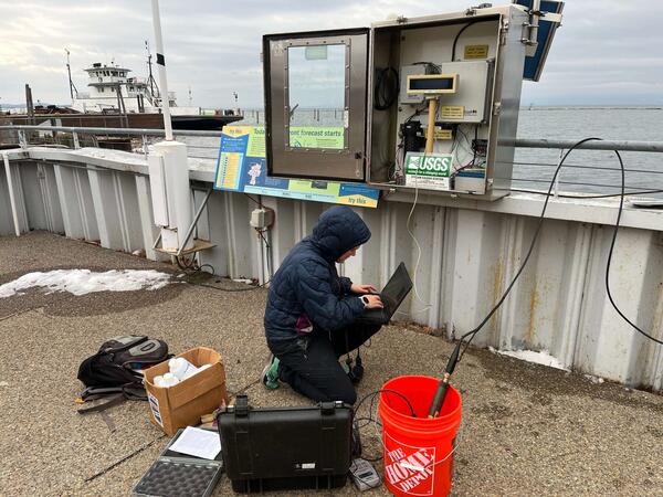
Winter 2024 Photo Contest: Sam Banas, Honorable Mention category